The Grand Boulevard
Nagykörút sweeps in a semicircle from Margaret Bridge to Petőfi Bridge, framing the inner districts. It is one of the clearest curves on the map.
Minimalist map poster · Hungary
47.5014° N / 19.4006° E
The flat eastern half of Budapest, shaped by the Danube, a grand ring boulevard and long avenues heading east

One city, five moods
Tap a style to see it on the wall. Every style costs the same — printed, framed or as HD files.
 Actual pixels · 24 × 36″ print file
Print-sharp
This is a 100% crop of the real print file. Every poster — printed, framed or downloaded — is rendered on our servers at 300 DPI, up to 7,200 × 10,800 pixels, so even the smallest lanes stay crisp on a 24 × 36″ print.
On the wall
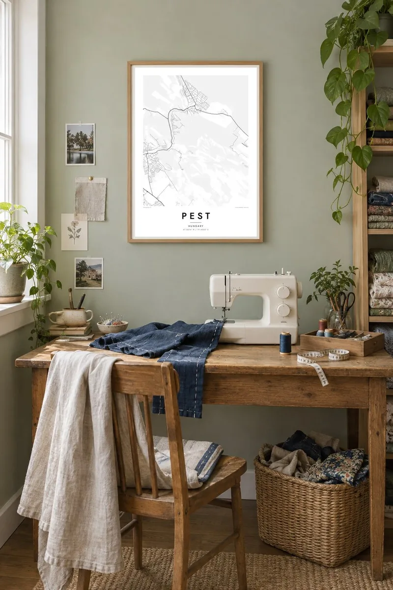


The district
Pest is the eastern half of Budapest, on the left bank of the Danube. Unlike hilly Buda across the river, it is almost entirely flat, and the map shows it. Streets spread out in wide, orderly patterns. Semicircular ring roads follow the river's curve, and long straight avenues radiate outwards towards the plain. The Danube forms a clear, heavy line along its western edge.
Pest was a separate town until 1873, when it joined Buda and Óbuda to form Budapest. The rapid growth that followed produced much of what the map shows today. The Grand Boulevard, or Nagykörút, was laid out in a wide arc. Andrássy Avenue was cut straight from the centre towards City Park, with an underground railway beneath it that opened in 1896.
Along the riverbank stands the Hungarian Parliament, one of the largest buildings in Europe. The Chain Bridge and other crossings connect Pest to Buda. A Pest map poster captures a nineteenth-century capital drawn on a flat canvas, where the geometry of rings and avenues is easy to read.
Nagykörút sweeps in a semicircle from Margaret Bridge to Petőfi Bridge, framing the inner districts. It is one of the clearest curves on the map.
A straight, tree-lined avenue running from the inner city to Heroes' Square and City Park. Beneath it runs the Millennium Underground, one of the oldest metro lines in continental Europe.
The river forms Pest's western edge. The Parliament building stands on the waterfront, and bridges link it to Buda on the opposite bank.
Make it yours
Add a date, a name or a line of your own, switch style, size or orientation.
The free preview is low-resolution with a watermark. Prints and HD files are rendered at 300 DPI, up to 7,200 × 10,800 px, without a watermark.
Why Pest
For anyone who has lived in Pest, studied there or walked the boulevards on a long summer evening, a map of its rings and avenues brings the city back. Its flat, graphic pattern also reads beautifully on a wall.
Choose your own title and subtitle, such as a year, a district name or a message, and edit the coordinates if needed. Pick from Classic black & white, Noir, Paper, Blueprint or Sand. Blueprint suits Pest's planned geometry especially well.
Order the Pest poster| Print size | Resolution | Files |
|---|---|---|
| 30 × 40 cm11.8 × 15.7″ | 3,543 × 4,724 px | PNG · PDF |
| 29.7 × 42 cm (A3)11.7 × 16.5″ | 3,508 × 4,961 px | PNG · PDF |
| 42 × 59.4 cm (A2)16.5 × 23.4″ | 4,961 × 7,016 px | PNG · PDF |
| 45.7 × 61 cm18 × 24″ | 5,400 × 7,200 px | PNG · PDF |
| 50 × 70 cm19.7 × 27.6″ | 5,906 × 8,268 px | PNG · PDF |
| 61 × 91.4 cm24 × 36″ | 7,200 × 10,800 px | PNG · PDF |
For comparison, the free preview is 900 px wide, watermarked and meant for screens. The HD files have up to 8× the resolution in each direction and print cleanly at full poster size.
Pick a style at the top of the page, then choose Printed Poster — a size and, if you like, a frame — or Digital HD Files. Checkout takes one step, and your order page updates as soon as the payment goes through.
It is printed on premium 200 gsm matte paper in one of six sizes, from 30 × 40 cm to 24 × 36″. Printed posters start at $39, shipping included.
Yes. Choose a solid wood frame in black, white, natural oak or dark wood. It comes with shatterproof glazing and is ready to hang. Framed posters start at $99, shipping included.
Shipping is free to 60+ countries. Each poster is printed by the nearest of our print partners in 30+ countries and usually arrives in 3–7 business days. You can follow the status and tracking under My Orders. A few countries take 2–5 weeks, and where we don't ship yet, the site tells you before you pay.
Send us a photo within 14 days of delivery and we will reprint it for free or refund you.
Yes. In the editor on this page, change the title, the subtitle and the coordinates line to anything you like, and pick a style and size. Printed, framed and digital orders all use exactly your design.
For $9 you get 300 DPI PNG and print-ready PDF files in all six sizes, without a watermark, to print anywhere. Not sure yet? Download a free watermarked preview first.
Nearby
