Contour streets
Roads wind across the hillside in long arcs rather than a grid. Their curves trace the shape of the mountain almost like the lines of a topographic map.
Minimalist map poster · Iran
35.0434° N / 46.3565° E
A Kurdish mountain town built in steep tiers in the Hawraman highlands, its streets bending along the contours of the slope.

One city, five moods
Tap a style to see it on the wall. Every style costs the same — printed, framed or as HD files.
 Actual pixels · 24 × 36″ print file
Print-sharp
This is a 100% crop of the real print file. Every poster — printed, framed or downloaded — is rendered on our servers at 300 DPI, up to 7,200 × 10,800 pixels, so even the smallest lanes stay crisp on a 24 × 36″ print.
On the wall

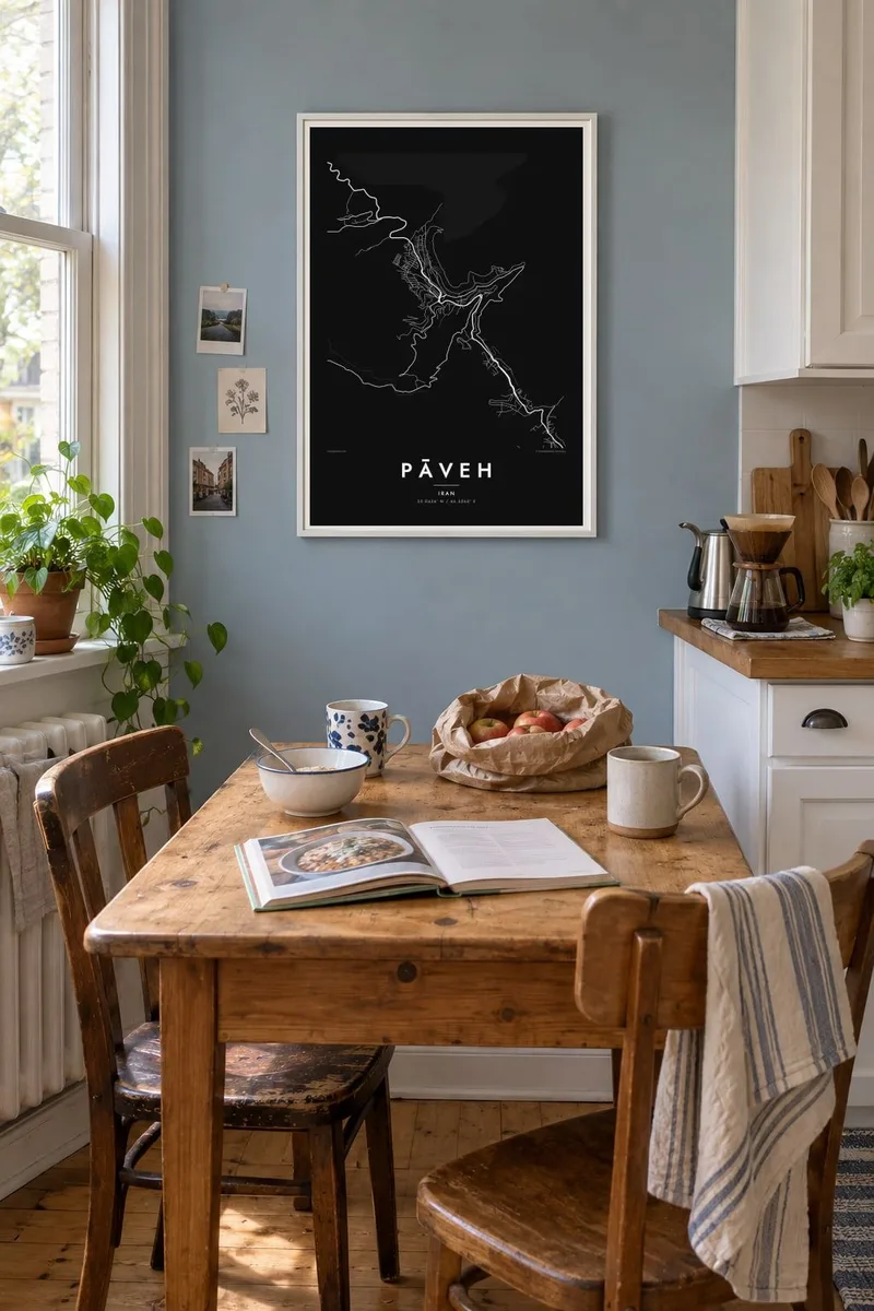
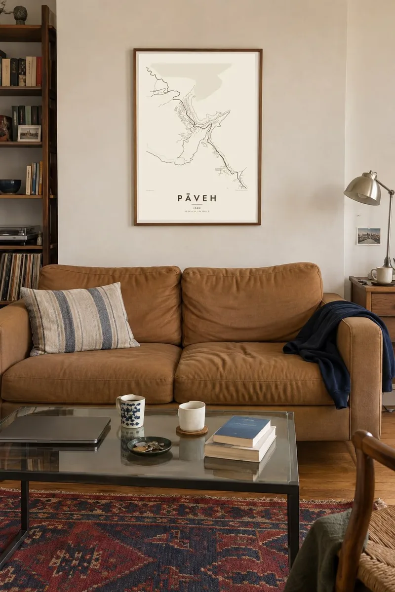
The map
Pāveh is high in the Zagros Mountains of western Iran, in Kermanshah Province, close to the border with Iraq. It is one of the main towns of the Hawraman region, a rugged Kurdish landscape of deep valleys and terraced hillsides. On a map the town is defined by its terrain first and by planning second, and the mountain is present in every line.
Streets run in long, curving lines across the slope, connected by short, steep links and stairways. Houses stand close together in rising tiers, in the manner Hawraman is known for, where the roof of one house can serve as the terrace of the one above. Seen from above, the result is a dense, layered fabric wrapped around the mountainside.
The cultural landscape of Hawraman was inscribed on the UNESCO World Heritage List in 2021 in recognition of its stepped villages, orchards and long traditions of mountain farming. A Pāveh map poster turns that character into a quiet, graphic form: tight lines of streets, sharp changes in direction and the open, empty ground of the peaks around them.
Roads wind across the hillside in long arcs rather than a grid. Their curves trace the shape of the mountain almost like the lines of a topographic map.
The residential quarters climb in dense, stacked rows, so the built-up areas read as tightly packed bands across the slope with very little space between them.
Beyond the town, a few roads twist through the valleys towards neighbouring villages and the rest of the province, showing how enclosed and elevated the setting is.
Make it yours
Add a date, a name or a line of your own, switch style, size or orientation.
The free preview is low-resolution with a watermark. Prints and HD files are rendered at 300 DPI, up to 7,200 × 10,800 px, without a watermark.
Why Pāveh
For people from Hawraman living elsewhere, a map of Pāveh brings back a town that is hard to describe to anyone who has not seen it. Even to someone who has never been there, the curling street pattern makes a striking, almost abstract image.
Add a title, a subtitle in your own words and the coordinates, then choose one of five styles. Paper and Sand suit the warm tones of the mountains, while Blueprint and Noir sharpen the lines. Try the free 900 px preview before you buy.
Order the Pāveh poster| Print size | Resolution | Files |
|---|---|---|
| 30 × 40 cm11.8 × 15.7″ | 3,543 × 4,724 px | PNG · PDF |
| 29.7 × 42 cm (A3)11.7 × 16.5″ | 3,508 × 4,961 px | PNG · PDF |
| 42 × 59.4 cm (A2)16.5 × 23.4″ | 4,961 × 7,016 px | PNG · PDF |
| 45.7 × 61 cm18 × 24″ | 5,400 × 7,200 px | PNG · PDF |
| 50 × 70 cm19.7 × 27.6″ | 5,906 × 8,268 px | PNG · PDF |
| 61 × 91.4 cm24 × 36″ | 7,200 × 10,800 px | PNG · PDF |
For comparison, the free preview is 900 px wide, watermarked and meant for screens. The HD files have up to 8× the resolution in each direction and print cleanly at full poster size.
Pick a style at the top of the page, then choose Printed Poster — a size and, if you like, a frame — or Digital HD Files. Checkout takes one step, and your order page updates as soon as the payment goes through.
It is printed on premium 200 gsm matte paper in one of six sizes, from 30 × 40 cm to 24 × 36″. Printed posters start at $39, shipping included.
Yes. Choose a solid wood frame in black, white, natural oak or dark wood. It comes with shatterproof glazing and is ready to hang. Framed posters start at $99, shipping included.
Shipping is free to 60+ countries. Each poster is printed by the nearest of our print partners in 30+ countries and usually arrives in 3–7 business days. You can follow the status and tracking under My Orders. A few countries take 2–5 weeks, and where we don't ship yet, the site tells you before you pay.
Send us a photo within 14 days of delivery and we will reprint it for free or refund you.
Yes. In the editor on this page, change the title, the subtitle and the coordinates line to anything you like, and pick a style and size. Printed, framed and digital orders all use exactly your design.
For $9 you get 300 DPI PNG and print-ready PDF files in all six sizes, without a watermark, to print anywhere. Not sure yet? Download a free watermarked preview first.
Nearby
