Round Square
The circular square at the heart of the city, with a park inside and streets leaving it in every direction, forms a clear star on the map.
Minimalist map poster · Ukraine
49.5892° N / 34.5537° E
A city on the high bank of the Vorskla, with a round central square and streets radiating from it like a star

One city, five moods
Tap a style to see it on the wall. Every style costs the same — printed, framed or as HD files.
 Actual pixels · 24 × 36″ print file
Print-sharp
This is a 100% crop of the real print file. Every poster — printed, framed or downloaded — is rendered on our servers at 300 DPI, up to 7,200 × 10,800 pixels, so even the smallest lanes stay crisp on a 24 × 36″ print.
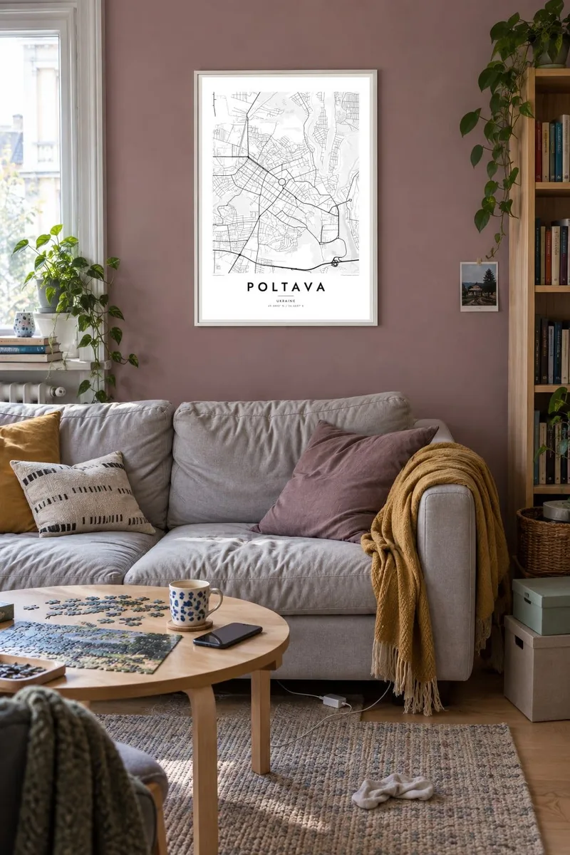
On the wall


The map
Poltava stands on the high right bank of the Vorskla, looking across a wide, green river valley. Its centre is laid out around a circular square, from which streets radiate outward in a star, a plan introduced in the early nineteenth century. Beyond this core, the city extends in grids and residential districts, while gullies and parkland break up the edges of the plateau.
The city is known across Europe for the Battle of Poltava in 1709, when Peter the Great's army defeated the Swedish forces of Charles XII. A column, the Monument of Glory, stands at the centre of the round square. Above the valley rises the Dormition Cathedral, and the city has close associations with the writers Ivan Kotliarevsky and Nikolai Gogol.
A Poltava map poster shows one of the clearest radial centres in Ukraine, set against the open curve of the river valley. Choose $9 digital HD files in six print sizes, 300 DPI PNG and print-ready PDF, or a printed poster on matte paper with an optional wooden frame, shipped from print partners in more than 30 countries.
The circular square at the heart of the city, with a park inside and streets leaving it in every direction, forms a clear star on the map.
The river runs along the eastern side of the city, its broad floodplain appearing as open ground beneath the steep edge of the old town.
The Dormition Cathedral stands on a height above the valley, one of the points from which the old town looks out over the river and meadows.
Make it yours
Add a date, a name or a line of your own, switch style, size or orientation.
The free preview is low-resolution with a watermark. Prints and HD files are rendered at 300 DPI, up to 7,200 × 10,800 px, without a watermark.
Why Poltava
For Ukrainians at home and abroad, a map of their home city carries a particular weight right now. A Poltava poster is simple and steady: a round square, a river and the streets where people grew up.
Write your own title and subtitle, perhaps a family name or a date, and edit the coordinates line. Five styles are available: Classic black & white, Noir, Paper, Blueprint and Sand, each reading the radial centre a little differently.
Order the Poltava poster| Print size | Resolution | Files |
|---|---|---|
| 30 × 40 cm11.8 × 15.7″ | 3,543 × 4,724 px | PNG · PDF |
| 29.7 × 42 cm (A3)11.7 × 16.5″ | 3,508 × 4,961 px | PNG · PDF |
| 42 × 59.4 cm (A2)16.5 × 23.4″ | 4,961 × 7,016 px | PNG · PDF |
| 45.7 × 61 cm18 × 24″ | 5,400 × 7,200 px | PNG · PDF |
| 50 × 70 cm19.7 × 27.6″ | 5,906 × 8,268 px | PNG · PDF |
| 61 × 91.4 cm24 × 36″ | 7,200 × 10,800 px | PNG · PDF |
For comparison, the free preview is 900 px wide, watermarked and meant for screens. The HD files have up to 8× the resolution in each direction and print cleanly at full poster size.
Pick a style at the top of the page, then choose Printed Poster — a size and, if you like, a frame — or Digital HD Files. Checkout takes one step, and your order page updates as soon as the payment goes through.
It is printed on premium 200 gsm matte paper in one of six sizes, from 30 × 40 cm to 24 × 36″. Printed posters start at $39, shipping included.
Yes. Choose a solid wood frame in black, white, natural oak or dark wood. It comes with shatterproof glazing and is ready to hang. Framed posters start at $99, shipping included.
Shipping is free to 60+ countries. Each poster is printed by the nearest of our print partners in 30+ countries and usually arrives in 3–7 business days. You can follow the status and tracking under My Orders. A few countries take 2–5 weeks, and where we don't ship yet, the site tells you before you pay.
Send us a photo within 14 days of delivery and we will reprint it for free or refund you.
Yes. In the editor on this page, change the title, the subtitle and the coordinates line to anything you like, and pick a style and size. Printed, framed and digital orders all use exactly your design.
For $9 you get 300 DPI PNG and print-ready PDF files in all six sizes, without a watermark, to print anywhere. Not sure yet? Download a free watermarked preview first.
Nearby
