The Acre meanders
The river loops through the city in deep bends, dividing it into two districts. Its curves are the most expressive shapes on the poster and set the direction of nearby streets.
Minimalist map poster · Brazil
9.9747° S / 67.8100° W
A river city split into two halves by the meandering Acre, with bridges joining the older riverside quarter to the centre

One city, five moods
Tap a style to see it on the wall. Every style costs the same — printed, framed or as HD files.
 Actual pixels · 24 × 36″ print file
Print-sharp
This is a 100% crop of the real print file. Every poster — printed, framed or downloaded — is rendered on our servers at 300 DPI, up to 7,200 × 10,800 pixels, so even the smallest lanes stay crisp on a 24 × 36″ print.
On the wall

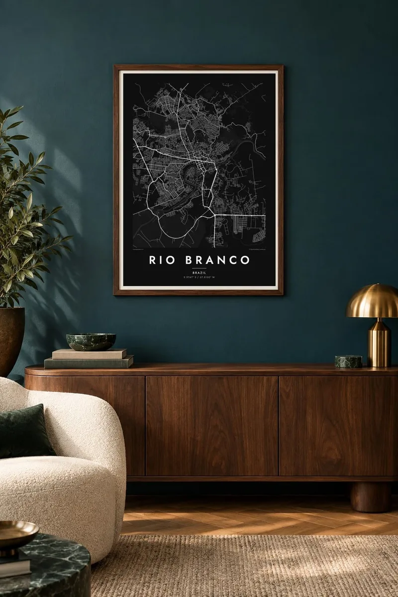
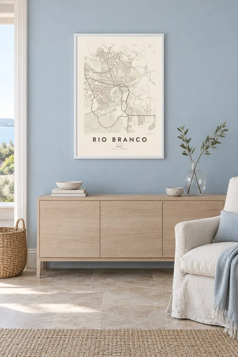
The map
Rio Branco grew up along the Acre River in the far west of the Brazilian Amazon, and the river still divides the city in two. On a map the water traces a series of tight curves, with an older riverside quarter on one bank and the administrative centre on the other. Several bridges, including a pedestrian crossing, link the halves in the core of town.
Away from the river the street pattern becomes a patchwork of grids set at slightly different angles, following the higher ground between streams that drain into the Acre. Parks and green corridors trace some of these watercourses. A Rio Branco map poster shows the river as the city's organising line, with neighbourhoods clustering along its loops before spreading out toward forest-edged outskirts.
The capital of Acre is named after the Baron of Rio Branco, the diplomat who negotiated the 1903 Treaty of Petrópolis, under which Bolivia ceded the territory to Brazil. The region's history is closely tied to rubber tapping in the surrounding forest, and the city remains a gateway toward Peru and Bolivia along the Interoceanic Highway.
The river loops through the city in deep bends, dividing it into two districts. Its curves are the most expressive shapes on the poster and set the direction of nearby streets.
In the historic core, road bridges and a footbridge span the Acre within a short distance of each other, drawing the two banks close together.
Small tributaries cut between neighbourhoods, and the street grids shift direction around them, giving the outer city a gently fractured pattern.
Make it yours
Add a date, a name or a line of your own, switch style, size or orientation.
The free preview is low-resolution with a watermark. Prints and HD files are rendered at 300 DPI, up to 7,200 × 10,800 px, without a watermark.
Why Rio Branco
Rio Branco is a long way from Brazil's coastal cities, and a map of it often means a great deal to people who moved away. The title, subtitle and coordinates line can all be edited, so the poster can mark a hometown, a posting or a first meeting.
Choose from Classic black & white, Noir, Paper, Blueprint or Sand. Download HD files for $9 in six sizes, each as a 300 DPI PNG and print-ready PDF without watermark, or order a matte printed poster, framed or unframed.
Order the Rio Branco poster| Print size | Resolution | Files |
|---|---|---|
| 30 × 40 cm11.8 × 15.7″ | 3,543 × 4,724 px | PNG · PDF |
| 29.7 × 42 cm (A3)11.7 × 16.5″ | 3,508 × 4,961 px | PNG · PDF |
| 42 × 59.4 cm (A2)16.5 × 23.4″ | 4,961 × 7,016 px | PNG · PDF |
| 45.7 × 61 cm18 × 24″ | 5,400 × 7,200 px | PNG · PDF |
| 50 × 70 cm19.7 × 27.6″ | 5,906 × 8,268 px | PNG · PDF |
| 61 × 91.4 cm24 × 36″ | 7,200 × 10,800 px | PNG · PDF |
For comparison, the free preview is 900 px wide, watermarked and meant for screens. The HD files have up to 8× the resolution in each direction and print cleanly at full poster size.
Pick a style at the top of the page, then choose Printed Poster — a size and, if you like, a frame — or Digital HD Files. Checkout takes one step, and your order page updates as soon as the payment goes through.
It is printed on premium 200 gsm matte paper in one of six sizes, from 30 × 40 cm to 24 × 36″. Printed posters start at $39, shipping included.
Yes. Choose a solid wood frame in black, white, natural oak or dark wood. It comes with shatterproof glazing and is ready to hang. Framed posters start at $99, shipping included.
Shipping is free to 60+ countries. Each poster is printed by the nearest of our print partners in 30+ countries and usually arrives in 3–7 business days. You can follow the status and tracking under My Orders. A few countries take 2–5 weeks, and where we don't ship yet, the site tells you before you pay.
Send us a photo within 14 days of delivery and we will reprint it for free or refund you.
Yes. In the editor on this page, change the title, the subtitle and the coordinates line to anything you like, and pick a style and size. Printed, framed and digital orders all use exactly your design.
For $9 you get 300 DPI PNG and print-ready PDF files in all six sizes, without a watermark, to print anywhere. Not sure yet? Download a free watermarked preview first.
Nearby
