Upper Ganges Canal
The canal runs through Roorkee in a nearly straight line, crossed by several bridges, and is the clearest, most recognisable feature of the poster.
Minimalist map poster · India
29.8663° N / 77.8912° E
A canal town where the Upper Ganges Canal runs straight through the centre, beside the broad campus of IIT Roorkee.

One city, five moods
Tap a style to see it on the wall. Every style costs the same — printed, framed or as HD files.
 Actual pixels · 24 × 36″ print file
Print-sharp
This is a 100% crop of the real print file. Every poster — printed, framed or downloaded — is rendered on our servers at 300 DPI, up to 7,200 × 10,800 pixels, so even the smallest lanes stay crisp on a 24 × 36″ print.
On the wall

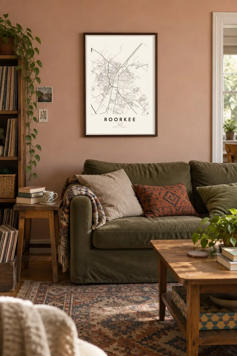
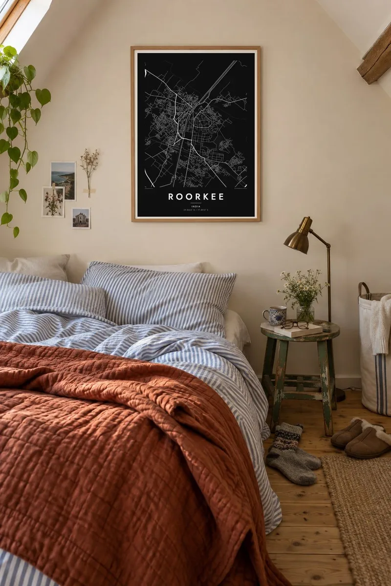
The map
Roorkee, in the Haridwar district of Uttarakhand, is a town defined by water engineering. The Upper Ganges Canal, opened in 1854, passes directly through it on a long, straight course, and much of the town was organised around the works that built and maintained it. On the map the canal is the dominant line, with bridges crossing it and streets on both banks.
The engineering college founded here in 1847 to train staff for the canal project later became the Indian Institute of Technology Roorkee, one of the oldest technical institutions in Asia. Its campus takes up a large, green part of the town, with wide roads and open grounds. Roorkee also has a long-established army cantonment, whose orderly layout contrasts with the denser market streets.
A Roorkee map poster suits anyone who has studied, taught or served here. The straight canal, the spacious campus, the measured roads of the cantonment and the older bazaar areas each have their own texture, and together they tell a clear story. Just outside town the canal crosses the Solani River on a well-known aqueduct, a detail worth including in the frame.
The canal runs through Roorkee in a nearly straight line, crossed by several bridges, and is the clearest, most recognisable feature of the poster.
The institute's grounds take up a large block of the town, with generous roads, playing fields and buildings set in open space.
Near the town, a long nineteenth-century aqueduct carries the canal over the Solani River, so on the map water crosses water.
Make it yours
Add a date, a name or a line of your own, switch style, size or orientation.
The free preview is low-resolution with a watermark. Prints and HD files are rendered at 300 DPI, up to 7,200 × 10,800 px, without a watermark.
Why Roorkee
Few towns are so closely tied to a single campus. For IIT Roorkee alumni, a map of the canal banks and hostels is a direct link to formative years. Put your batch year in the subtitle, name your hostel in the title, or set the coordinates to your department.
Choose Classic black & white, Noir, Paper, Blueprint or Sand. The $9 download includes six print sizes as 300 DPI PNGs and print-ready PDFs with no watermark, and a free 900 px preview lets you check the framing first. Matte prints, with an optional wooden frame, ship from partners in 30+ countries.
Order the Roorkee poster| Print size | Resolution | Files |
|---|---|---|
| 30 × 40 cm11.8 × 15.7″ | 3,543 × 4,724 px | PNG · PDF |
| 29.7 × 42 cm (A3)11.7 × 16.5″ | 3,508 × 4,961 px | PNG · PDF |
| 42 × 59.4 cm (A2)16.5 × 23.4″ | 4,961 × 7,016 px | PNG · PDF |
| 45.7 × 61 cm18 × 24″ | 5,400 × 7,200 px | PNG · PDF |
| 50 × 70 cm19.7 × 27.6″ | 5,906 × 8,268 px | PNG · PDF |
| 61 × 91.4 cm24 × 36″ | 7,200 × 10,800 px | PNG · PDF |
For comparison, the free preview is 900 px wide, watermarked and meant for screens. The HD files have up to 8× the resolution in each direction and print cleanly at full poster size.
Pick a style at the top of the page, then choose Printed Poster — a size and, if you like, a frame — or Digital HD Files. Checkout takes one step, and your order page updates as soon as the payment goes through.
It is printed on premium 200 gsm matte paper in one of six sizes, from 30 × 40 cm to 24 × 36″. Printed posters start at $39, shipping included.
Yes. Choose a solid wood frame in black, white, natural oak or dark wood. It comes with shatterproof glazing and is ready to hang. Framed posters start at $99, shipping included.
Shipping is free to 60+ countries. Each poster is printed by the nearest of our print partners in 30+ countries and usually arrives in 3–7 business days. You can follow the status and tracking under My Orders. A few countries take 2–5 weeks, and where we don't ship yet, the site tells you before you pay.
Send us a photo within 14 days of delivery and we will reprint it for free or refund you.
Yes. In the editor on this page, change the title, the subtitle and the coordinates line to anything you like, and pick a style and size. Printed, framed and digital orders all use exactly your design.
For $9 you get 300 DPI PNG and print-ready PDF files in all six sizes, without a watermark, to print anywhere. Not sure yet? Download a free watermarked preview first.
Nearby
