Highway spine
The old Grand Trunk Road, now a national highway, runs through the length of the city and organises the street pattern on both sides.
Minimalist map poster · India
29.3875° N / 76.9682° E
A historic battleground city on the plain north of Delhi, stretched along the great highway toward Punjab

One city, five moods
Tap a style to see it on the wall. Every style costs the same — printed, framed or as HD files.
 Actual pixels · 24 × 36″ print file
Print-sharp
This is a 100% crop of the real print file. Every poster — printed, framed or downloaded — is rendered on our servers at 300 DPI, up to 7,200 × 10,800 pixels, so even the smallest lanes stay crisp on a 24 × 36″ print.
On the wall

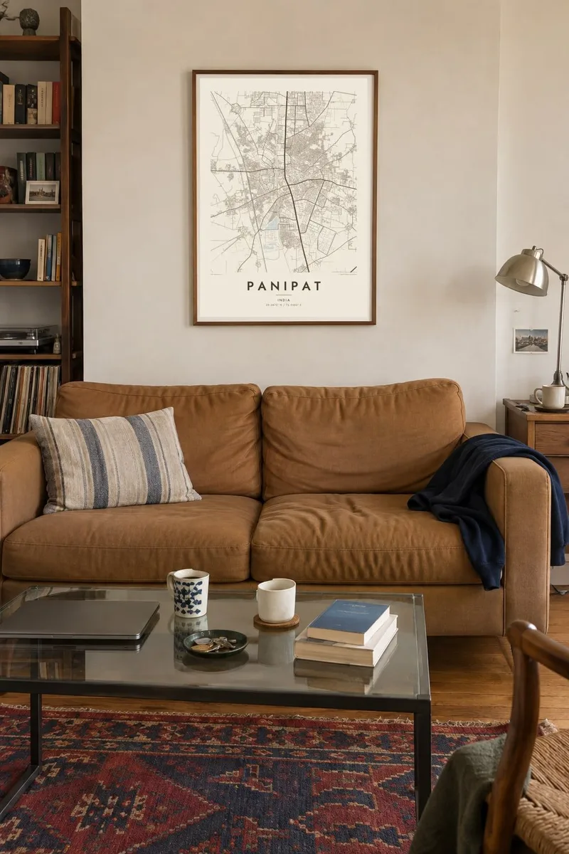
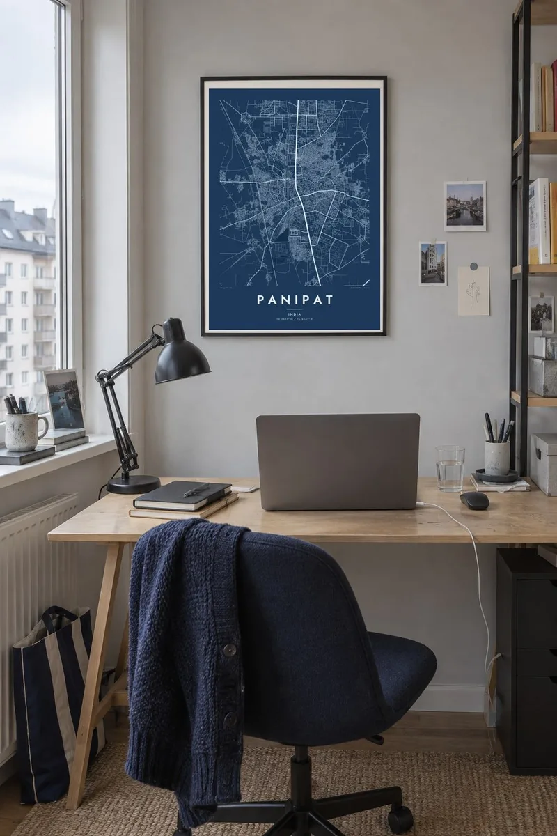
The map
Panipat lies on the flat plain of Haryana, about ninety kilometres north of Delhi, on the ancient route that became the Grand Trunk Road. That highway still runs straight through the city, and on a map it forms the spine of the urban area, with the older quarter on one side and later colonies, markets and industrial areas spreading out across the level land.
The name is known across India for three decisive battles fought on the plains nearby, in 1526, 1556 and 1761, which shaped the course of Mughal and Maratha history. The tomb of Ibrahim Lodi, who fell in the first of them, stands in the city, as does the Kabuli Bagh mosque built by Babur after his victory.
Today Panipat is better known for textiles, especially handloom products and recycled wool, and for its large oil refinery. A Panipat map poster captures the city as a working place: a dense old core, a long highway spine and a wide grid of newer sectors reaching toward the Yamuna floodplain to the east.
The old Grand Trunk Road, now a national highway, runs through the length of the city and organises the street pattern on both sides.
The historic town forms an irregular, tightly packed cluster of lanes, a clear contrast with the planned sectors laid out around it in recent decades.
Open land beyond the built-up area recalls the fields where the three battles of Panipat were fought, remembered today through memorials rather than any visible line on the map.
Make it yours
Add a date, a name or a line of your own, switch style, size or orientation.
The free preview is low-resolution with a watermark. Prints and HD files are rendered at 300 DPI, up to 7,200 × 10,800 px, without a watermark.
Why Panipat
History enthusiasts are drawn to Panipat for its battles, while many others simply call it home or know it through its textile trade. Either way, the long highway and dense core make a strong, legible print on any wall.
The title, subtitle and coordinates line can be written as you wish, for a company office, a family house or a date. Choose one of five styles and download six print sizes as PNG and PDF for $9, or order a printed poster with an optional frame.
Order the Panipat poster| Print size | Resolution | Files |
|---|---|---|
| 30 × 40 cm11.8 × 15.7″ | 3,543 × 4,724 px | PNG · PDF |
| 29.7 × 42 cm (A3)11.7 × 16.5″ | 3,508 × 4,961 px | PNG · PDF |
| 42 × 59.4 cm (A2)16.5 × 23.4″ | 4,961 × 7,016 px | PNG · PDF |
| 45.7 × 61 cm18 × 24″ | 5,400 × 7,200 px | PNG · PDF |
| 50 × 70 cm19.7 × 27.6″ | 5,906 × 8,268 px | PNG · PDF |
| 61 × 91.4 cm24 × 36″ | 7,200 × 10,800 px | PNG · PDF |
For comparison, the free preview is 900 px wide, watermarked and meant for screens. The HD files have up to 8× the resolution in each direction and print cleanly at full poster size.
Pick a style at the top of the page, then choose Printed Poster — a size and, if you like, a frame — or Digital HD Files. Checkout takes one step, and your order page updates as soon as the payment goes through.
It is printed on premium 200 gsm matte paper in one of six sizes, from 30 × 40 cm to 24 × 36″. Printed posters start at $39, shipping included.
Yes. Choose a solid wood frame in black, white, natural oak or dark wood. It comes with shatterproof glazing and is ready to hang. Framed posters start at $99, shipping included.
Shipping is free to 60+ countries. Each poster is printed by the nearest of our print partners in 30+ countries and usually arrives in 3–7 business days. You can follow the status and tracking under My Orders. A few countries take 2–5 weeks, and where we don't ship yet, the site tells you before you pay.
Send us a photo within 14 days of delivery and we will reprint it for free or refund you.
Yes. In the editor on this page, change the title, the subtitle and the coordinates line to anything you like, and pick a style and size. Printed, framed and digital orders all use exactly your design.
For $9 you get 300 DPI PNG and print-ready PDF files in all six sizes, without a watermark, to print anywhere. Not sure yet? Download a free watermarked preview first.
Nearby
