Roseau River mouth
The river runs along the northern edge of town to meet the sea. It divides the street network and adds a winding line of water to the composition.
Minimalist map poster · Dominica
15.3017° N / 61.3881° W
A compact grid at the mouth of the Roseau River, pressed between Dominica's mountains and the Caribbean Sea.

One city, five moods
Tap a style to see it on the wall. Every style costs the same — printed, framed or as HD files.
 Actual pixels · 24 × 36″ print file
Print-sharp
This is a 100% crop of the real print file. Every poster — printed, framed or downloaded — is rendered on our servers at 300 DPI, up to 7,200 × 10,800 pixels, so even the smallest lanes stay crisp on a 24 × 36″ print.
On the wall

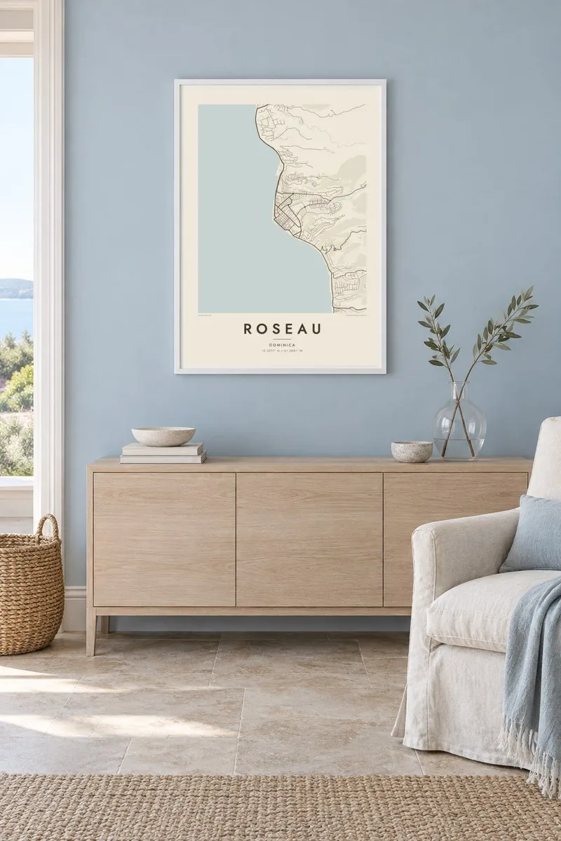
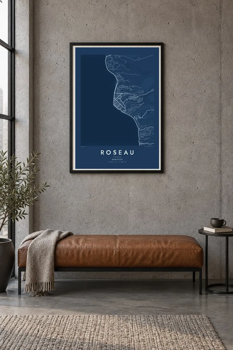
The map
Roseau lies on the southwest coast of Dominica, on a small patch of flat land where the Roseau River reaches the Caribbean Sea. The mountains of the island's interior rise almost immediately behind it, so the town is compact and dense. On a map it appears as a tight grid of short streets squeezed between the sea, the river and the steep ground inland.
The river forms a clear line along the northern edge of the town, with bridges linking the neighbourhoods on either side. The old centre keeps a regular pattern of narrow streets laid out during the French and British colonial periods. The Botanic Gardens open a wide space at the foot of Morne Bruce, the hill that overlooks the town from the east.
The name comes from the French word for the reeds that once grew along the river. Hurricane Maria badly damaged Roseau in 2017, and the town has been rebuilding since. A Roseau map poster captures its essential shape: river, grid and coastline set against the island's steep, rising terrain.
The river runs along the northern edge of town to meet the sea. It divides the street network and adds a winding line of water to the composition.
Short, narrow streets form a regular pattern on the flat coastal land. They give the centre of the map a dense, orderly texture.
A large open space on the eastern side of town, at the base of Morne Bruce. It contrasts with the tightly built streets around it.
Make it yours
Add a date, a name or a line of your own, switch style, size or orientation.
The free preview is low-resolution with a watermark. Prints and HD files are rendered at 300 DPI, up to 7,200 × 10,800 px, without a watermark.
Why Roseau
Dominicans at home and abroad, divers, hikers and returning visitors often hang Roseau as a reminder of the island. The small, dense grid between river and mountains gives the map an intimate scale that is easy to read.
Personalise the title and subtitle, add a date and edit the coordinates line. Choose one of five styles, including Paper and Sand for a warmer look. Then download the HD files for $9 or order a printed poster with an optional wooden frame.
Order the Roseau poster| Print size | Resolution | Files |
|---|---|---|
| 30 × 40 cm11.8 × 15.7″ | 3,543 × 4,724 px | PNG · PDF |
| 29.7 × 42 cm (A3)11.7 × 16.5″ | 3,508 × 4,961 px | PNG · PDF |
| 42 × 59.4 cm (A2)16.5 × 23.4″ | 4,961 × 7,016 px | PNG · PDF |
| 45.7 × 61 cm18 × 24″ | 5,400 × 7,200 px | PNG · PDF |
| 50 × 70 cm19.7 × 27.6″ | 5,906 × 8,268 px | PNG · PDF |
| 61 × 91.4 cm24 × 36″ | 7,200 × 10,800 px | PNG · PDF |
For comparison, the free preview is 900 px wide, watermarked and meant for screens. The HD files have up to 8× the resolution in each direction and print cleanly at full poster size.
Pick a style at the top of the page, then choose Printed Poster — a size and, if you like, a frame — or Digital HD Files. Checkout takes one step, and your order page updates as soon as the payment goes through.
It is printed on premium 200 gsm matte paper in one of six sizes, from 30 × 40 cm to 24 × 36″. Printed posters start at $39, shipping included.
Yes. Choose a solid wood frame in black, white, natural oak or dark wood. It comes with shatterproof glazing and is ready to hang. Framed posters start at $99, shipping included.
Shipping is free to 60+ countries. Each poster is printed by the nearest of our print partners in 30+ countries and usually arrives in 3–7 business days. You can follow the status and tracking under My Orders. A few countries take 2–5 weeks, and where we don't ship yet, the site tells you before you pay.
Send us a photo within 14 days of delivery and we will reprint it for free or refund you.
Yes. In the editor on this page, change the title, the subtitle and the coordinates line to anything you like, and pick a style and size. Printed, framed and digital orders all use exactly your design.
For $9 you get 300 DPI PNG and print-ready PDF files in all six sizes, without a watermark, to print anywhere. Not sure yet? Download a free watermarked preview first.
Nearby
