Ōmiya rail hub
Railway lines converge on Ōmiya from several directions, drawing a dense fan of tracks on the map that marks the city's role as a major junction.
Minimalist map poster · Japan
35.9081° N / 139.6566° E
A patchwork of merged towns north of Tokyo, bound together by rail lines and a broad central green belt

One city, five moods
Tap a style to see it on the wall. Every style costs the same — printed, framed or as HD files.
 Actual pixels · 24 × 36″ print file
Print-sharp
This is a 100% crop of the real print file. Every poster — printed, framed or downloaded — is rendered on our servers at 300 DPI, up to 7,200 × 10,800 pixels, so even the smallest lanes stay crisp on a 24 × 36″ print.
On the wall

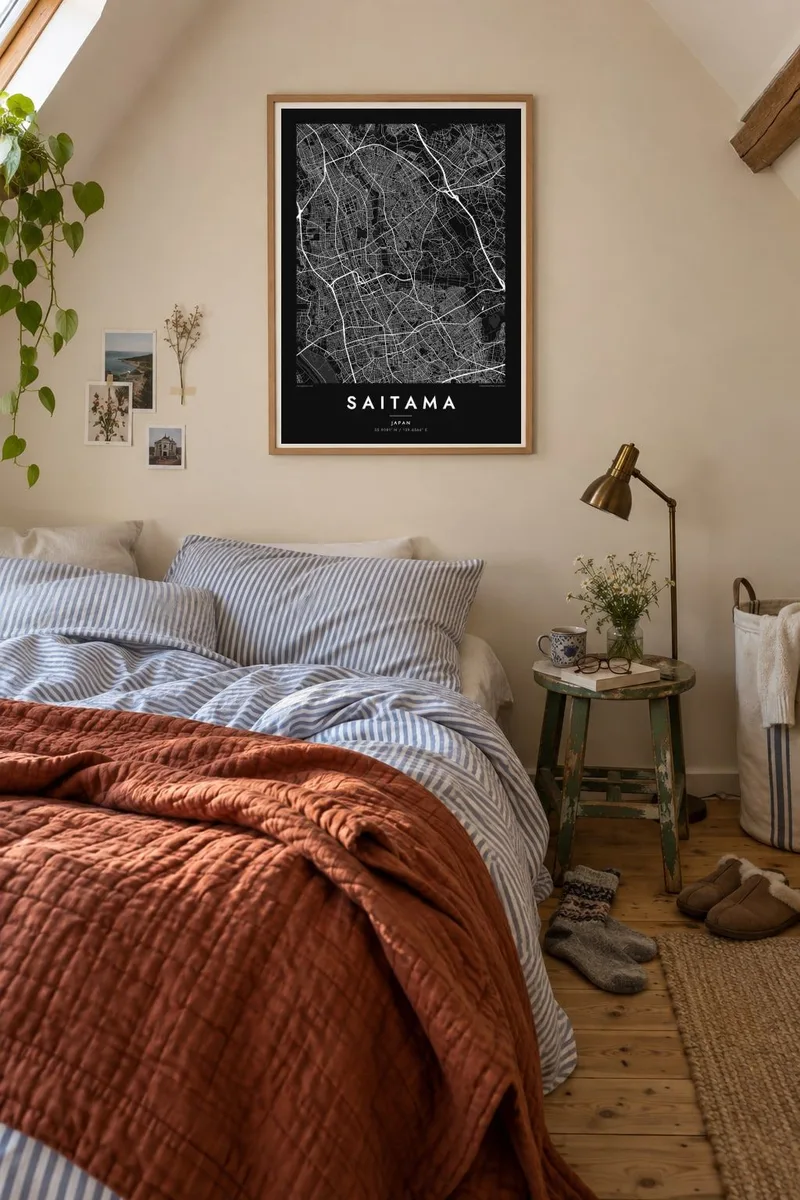

The map
Saitama was formed in 2001 by the merger of Urawa, Ōmiya and Yono, with Iwatsuki joining in 2005, and it serves as the capital of Saitama Prefecture. On the map it still reads as several distinct centres rather than one, each clustered around a railway station, with dense residential streets filling the land between them and the Arakawa River running along the west.
Ōmiya Station is one of the most important rail hubs in eastern Japan, where Shinkansen lines from Tokyo divide toward the north and the Sea of Japan coast. Nearby, the Hikawa Shrine is approached by a long, tree-lined avenue, and the Ōmiya Bonsai Village has been home to bonsai nurseries since the 1920s.
Between Urawa and Ōmiya lies the Minuma rice paddy belt, a large area of fields and green space kept free of development. A Saitama map poster shows these different parts side by side: station districts, rail lines converging, the open green belt and the river, creating a composition quite different from central Tokyo, just to the south.
Railway lines converge on Ōmiya from several directions, drawing a dense fan of tracks on the map that marks the city's role as a major junction.
An extensive area of rice paddies and parks between Urawa and Ōmiya forms a wide open space in the middle of the city, rare in the Tokyo region.
The shrine is reached along a long, straight, tree-lined avenue, a distinctive line on the map running north through the Ōmiya district.
Make it yours
Add a date, a name or a line of your own, switch style, size or orientation.
The free preview is low-resolution with a watermark. Prints and HD files are rendered at 300 DPI, up to 7,200 × 10,800 px, without a watermark.
Why Saitama
Saitama is a map for residents, commuters who travel daily to Tokyo and football supporters who know the city's stadiums. Its multi-centred form and green belt make it more varied on paper than people expect, and personal to those who live there.
Add a title in Japanese or English, include a date or neighbourhood in the subtitle, and edit the coordinates line. Choose from five styles: Classic black & white, Noir, Paper, Blueprint or Sand. Paper suits the quieter residential texture well.
Order the Saitama poster| Print size | Resolution | Files |
|---|---|---|
| 30 × 40 cm11.8 × 15.7″ | 3,543 × 4,724 px | PNG · PDF |
| 29.7 × 42 cm (A3)11.7 × 16.5″ | 3,508 × 4,961 px | PNG · PDF |
| 42 × 59.4 cm (A2)16.5 × 23.4″ | 4,961 × 7,016 px | PNG · PDF |
| 45.7 × 61 cm18 × 24″ | 5,400 × 7,200 px | PNG · PDF |
| 50 × 70 cm19.7 × 27.6″ | 5,906 × 8,268 px | PNG · PDF |
| 61 × 91.4 cm24 × 36″ | 7,200 × 10,800 px | PNG · PDF |
For comparison, the free preview is 900 px wide, watermarked and meant for screens. The HD files have up to 8× the resolution in each direction and print cleanly at full poster size.
Pick a style at the top of the page, then choose Printed Poster — a size and, if you like, a frame — or Digital HD Files. Checkout takes one step, and your order page updates as soon as the payment goes through.
It is printed on premium 200 gsm matte paper in one of six sizes, from 30 × 40 cm to 24 × 36″. Printed posters start at $39, shipping included.
Yes. Choose a solid wood frame in black, white, natural oak or dark wood. It comes with shatterproof glazing and is ready to hang. Framed posters start at $99, shipping included.
Shipping is free to 60+ countries. Each poster is printed by the nearest of our print partners in 30+ countries and usually arrives in 3–7 business days. You can follow the status and tracking under My Orders. A few countries take 2–5 weeks, and where we don't ship yet, the site tells you before you pay.
Send us a photo within 14 days of delivery and we will reprint it for free or refund you.
Yes. In the editor on this page, change the title, the subtitle and the coordinates line to anything you like, and pick a style and size. Printed, framed and digital orders all use exactly your design.
For $9 you get 300 DPI PNG and print-ready PDF files in all six sizes, without a watermark, to print anywhere. Not sure yet? Download a free watermarked preview first.
Nearby
