The canals
Straight canals cut across the city from the estuary side to the beach, dividing the flat grid into numbered sections that residents use to find their way.
Minimalist map poster · Brazil
23.9608° S / 46.3336° W
An island port city of numbered canals and a long beachfront garden, facing the Atlantic beside Brazil's busiest harbour

One city, five moods
Tap a style to see it on the wall. Every style costs the same — printed, framed or as HD files.
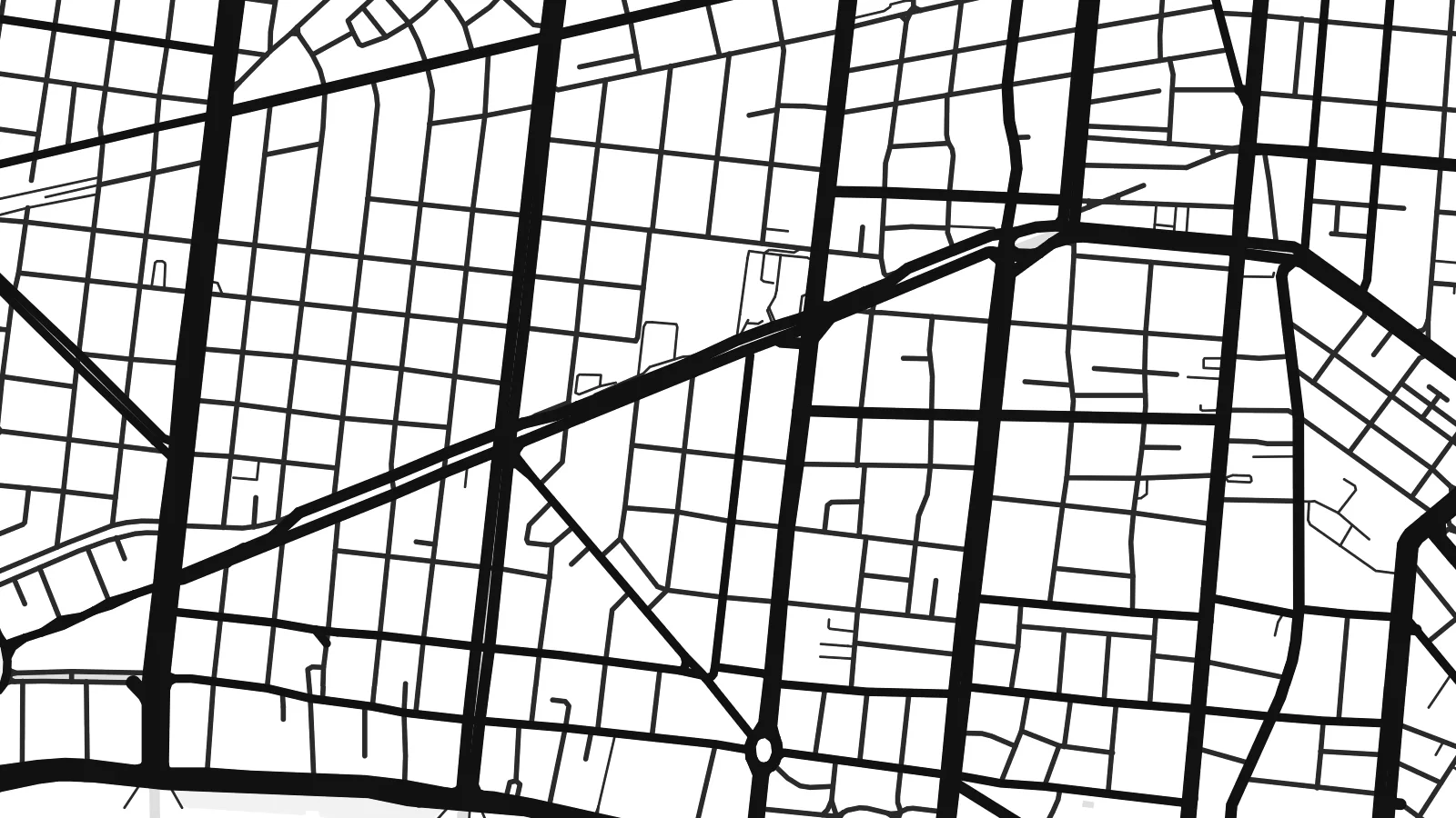 Actual pixels · 24 × 36″ print file
Print-sharp
This is a 100% crop of the real print file. Every poster — printed, framed or downloaded — is rendered on our servers at 300 DPI, up to 7,200 × 10,800 pixels, so even the smallest lanes stay crisp on a 24 × 36″ print.
On the wall


The map
Most of Santos occupies the island of São Vicente, which it shares with the neighbouring city of the same name, and its map is framed by water on nearly every side. Along the estuary channel, the quays of the largest port in Latin America stretch for kilometres. To the south, a long, gently curving beach faces the Atlantic, edged by a continuous strip of gardens.
Between port and beach, a series of drainage canals runs in straight lines toward the sea, designed in the early twentieth century by the engineer Saturnino de Brito. They are numbered and serve locals as reference points, dividing the grid into clear bands. A Santos map poster brings out this structure well: parallel canals, a rounded beachfront and Monte Serrat rising near the old centre.
Santos has been Brazil's main coffee export port since the nineteenth century, and the ornate Coffee Exchange building still stands in the historic centre. The beachfront garden is recognised as one of the longest of its kind in the world. The city is also home to Santos FC, the club where Pelé spent most of his career.
Straight canals cut across the city from the estuary side to the beach, dividing the flat grid into numbered sections that residents use to find their way.
A long ribbon of lawns and planting follows the curve of the beach for several kilometres, drawing a smooth arc along the bottom of the map.
Docks and terminals line the estuary, their long quays and rail sidings forming the city's most industrial edge and a hard contrast to the beach.
Make it yours
Add a date, a name or a line of your own, switch style, size or orientation.
The free preview is low-resolution with a watermark. Prints and HD files are rendered at 300 DPI, up to 7,200 × 10,800 px, without a watermark.
Why Santos
Santos is a city of coastal routines: a walk along the gardens, a canal number that means home, a view of ships entering the channel. Personalise the title and subtitle, and keep the coordinates line under the map.
Sand is a natural match for the beach, while Blueprint suits the port and canal lines. Classic black & white, Noir and Paper are also available. HD files cost $9 in six print sizes, and matte printed posters ship from partners in 30+ countries.
Order the Santos poster| Print size | Resolution | Files |
|---|---|---|
| 30 × 40 cm11.8 × 15.7″ | 3,543 × 4,724 px | PNG · PDF |
| 29.7 × 42 cm (A3)11.7 × 16.5″ | 3,508 × 4,961 px | PNG · PDF |
| 42 × 59.4 cm (A2)16.5 × 23.4″ | 4,961 × 7,016 px | PNG · PDF |
| 45.7 × 61 cm18 × 24″ | 5,400 × 7,200 px | PNG · PDF |
| 50 × 70 cm19.7 × 27.6″ | 5,906 × 8,268 px | PNG · PDF |
| 61 × 91.4 cm24 × 36″ | 7,200 × 10,800 px | PNG · PDF |
For comparison, the free preview is 900 px wide, watermarked and meant for screens. The HD files have up to 8× the resolution in each direction and print cleanly at full poster size.
Pick a style at the top of the page, then choose Printed Poster — a size and, if you like, a frame — or Digital HD Files. Checkout takes one step, and your order page updates as soon as the payment goes through.
It is printed on premium 200 gsm matte paper in one of six sizes, from 30 × 40 cm to 24 × 36″. Printed posters start at $39, shipping included.
Yes. Choose a solid wood frame in black, white, natural oak or dark wood. It comes with shatterproof glazing and is ready to hang. Framed posters start at $99, shipping included.
Shipping is free to 60+ countries. Each poster is printed by the nearest of our print partners in 30+ countries and usually arrives in 3–7 business days. You can follow the status and tracking under My Orders. A few countries take 2–5 weeks, and where we don't ship yet, the site tells you before you pay.
Send us a photo within 14 days of delivery and we will reprint it for free or refund you.
Yes. In the editor on this page, change the title, the subtitle and the coordinates line to anything you like, and pick a style and size. Printed, framed and digital orders all use exactly your design.
For $9 you get 300 DPI PNG and print-ready PDF files in all six sizes, without a watermark, to print anywhere. Not sure yet? Download a free watermarked preview first.
Nearby
