Odori Park
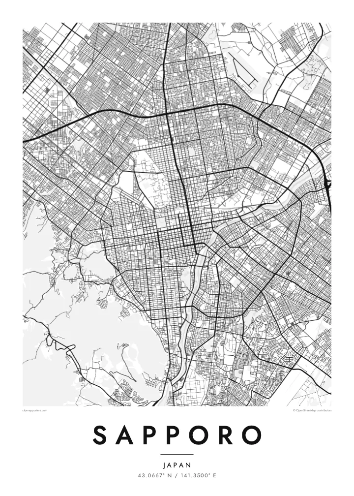
The long park crosses the centre as an unbroken band, a strip of open space that divides north from south in both the address system and the drawing.
Minimalist map poster · Japan
43.0667° N / 141.3500° E
One of Japan's clearest street grids, laid out from Odori Park between Mount Moiwa and the Toyohira River
One city, five moods
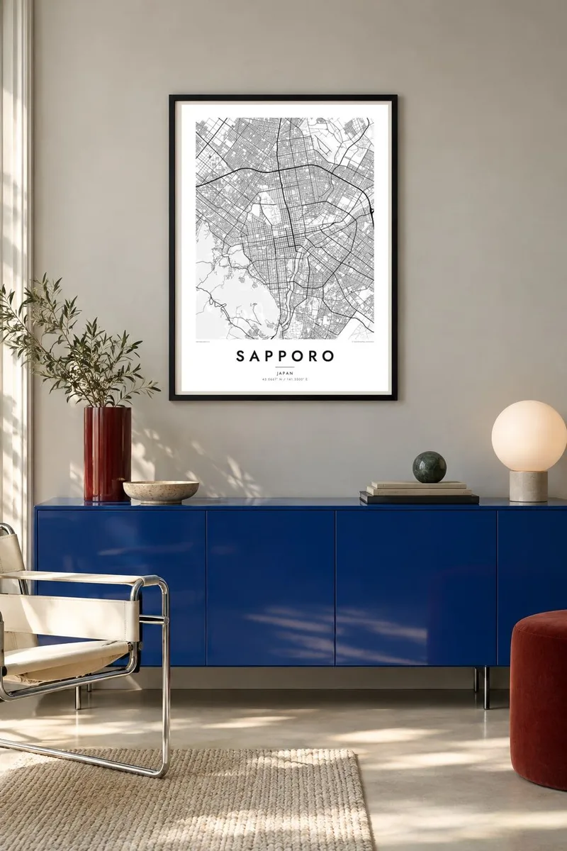
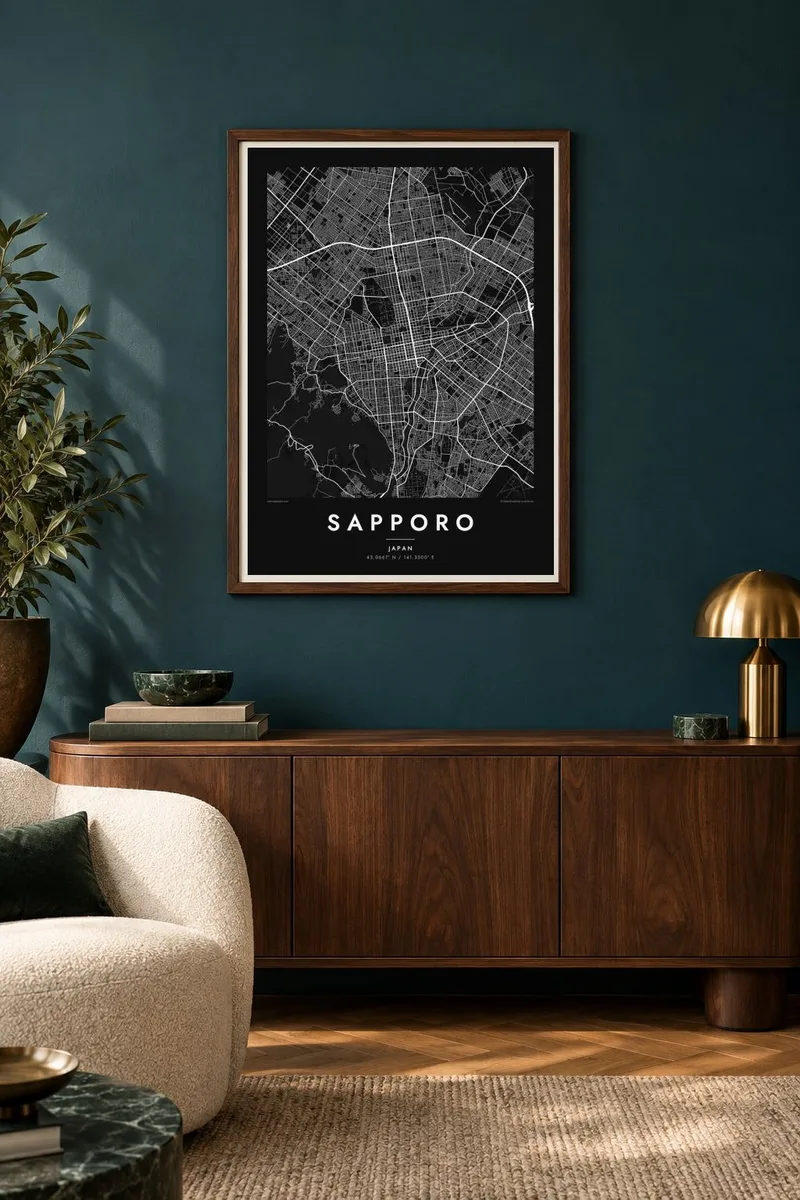
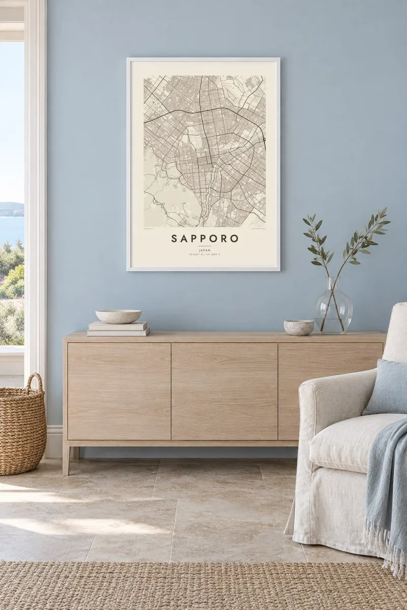
Tap a style to see it on the wall. Every style costs the same — printed, framed or as HD files.
 Actual pixels · 24 × 36″ print file
Print-sharp
This is a 100% crop of the real print file. Every poster — printed, framed or downloaded — is rendered on our servers at 300 DPI, up to 7,200 × 10,800 pixels, so even the smallest lanes stay crisp on a 24 × 36″ print.
On the wall
The map
Sapporo was planned in the second half of the nineteenth century as the new centre of Hokkaido, and its core was drawn as a regular grid rather than left to grow. Addresses still count blocks north and south of Odori Park and east and west of the Sosei River, so the map works almost like a coordinate system. It is one of the most orderly city plans in Japan.
Odori Park runs east to west as a long green strip through the centre and hosts the Sapporo Snow Festival every February. The Toyohira River curves along the south-eastern side of the grid, and Mount Moiwa rises to the south-west, where the streets give way to forest. In 1972 the city hosted the first Winter Olympics held in Asia.
A Sapporo map poster suits anyone who enjoys a clean, readable plan. The regular blocks, the long park axis and the diagonal line of the river create a composition that feels ordered but not rigid, while the wooded hills soften the corners. In black and white the grid becomes a pattern close to a woven textile.
The long park crosses the centre as an unbroken band, a strip of open space that divides north from south in both the address system and the drawing.
The central streets meet at right angles in regular blocks, numbered outward from the park and the Sosei River, which makes the poster exceptionally easy to read.
To the south-west the grid stops against the slopes of Mount Moiwa, whose wooded mass appears as an open field at the edge of the city.
Make it yours
Add a date, a name or a line of your own, switch style, size or orientation.
The free preview is low-resolution with a watermark. Prints and HD files are rendered at 300 DPI, up to 7,200 × 10,800 px, without a watermark.
Why Sapporo
Sapporo leaves a strong impression on visitors and residents alike, through snow, food and the clarity of its streets. A map of it works as a keepsake of a winter trip, a year of study or a first job in Hokkaido.
Personalise the title and subtitle with a date or a short phrase, and edit the coordinates line to your own block. Five styles are available, Classic black & white, Noir, Paper, Blueprint and Sand, as 300 DPI files or a printed poster.
Order the Sapporo poster| Print size | Resolution | Files |
|---|---|---|
| 30 × 40 cm11.8 × 15.7″ | 3,543 × 4,724 px | PNG · PDF |
| 29.7 × 42 cm (A3)11.7 × 16.5″ | 3,508 × 4,961 px | PNG · PDF |
| 42 × 59.4 cm (A2)16.5 × 23.4″ | 4,961 × 7,016 px | PNG · PDF |
| 45.7 × 61 cm18 × 24″ | 5,400 × 7,200 px | PNG · PDF |
| 50 × 70 cm19.7 × 27.6″ | 5,906 × 8,268 px | PNG · PDF |
| 61 × 91.4 cm24 × 36″ | 7,200 × 10,800 px | PNG · PDF |
For comparison, the free preview is 900 px wide, watermarked and meant for screens. The HD files have up to 8× the resolution in each direction and print cleanly at full poster size.
Pick a style at the top of the page, then choose Printed Poster — a size and, if you like, a frame — or Digital HD Files. Checkout takes one step, and your order page updates as soon as the payment goes through.
It is printed on premium 200 gsm matte paper in one of six sizes, from 30 × 40 cm to 24 × 36″. Printed posters start at $39, shipping included.
Yes. Choose a solid wood frame in black, white, natural oak or dark wood. It comes with shatterproof glazing and is ready to hang. Framed posters start at $99, shipping included.
Shipping is free to 60+ countries. Each poster is printed by the nearest of our print partners in 30+ countries and usually arrives in 3–7 business days. You can follow the status and tracking under My Orders. A few countries take 2–5 weeks, and where we don't ship yet, the site tells you before you pay.
Send us a photo within 14 days of delivery and we will reprint it for free or refund you.
Yes. In the editor on this page, change the title, the subtitle and the coordinates line to anything you like, and pick a style and size. Printed, framed and digital orders all use exactly your design.
For $9 you get 300 DPI PNG and print-ready PDF files in all six sizes, without a watermark, to print anywhere. Not sure yet? Download a free watermarked preview first.
Nearby
