Josaphat Park
Laid out in a narrow valley, the park appears as an irregular island of curving footpaths and ponds inside an otherwise rectilinear street plan.
Minimalist map poster · Belgium
50.8693° N / 4.3774° E
A dense quilt of nineteenth-century avenues north-east of central Brussels, stitched around squares, a valley park and railway yards.

One city, five moods
Tap a style to see it on the wall. Every style costs the same — printed, framed or as HD files.
 Actual pixels · 24 × 36″ print file
Print-sharp
This is a 100% crop of the real print file. Every poster — printed, framed or downloaded — is rendered on our servers at 300 DPI, up to 7,200 × 10,800 pixels, so even the smallest lanes stay crisp on a 24 × 36″ print.
On the wall

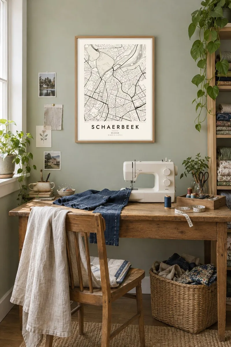
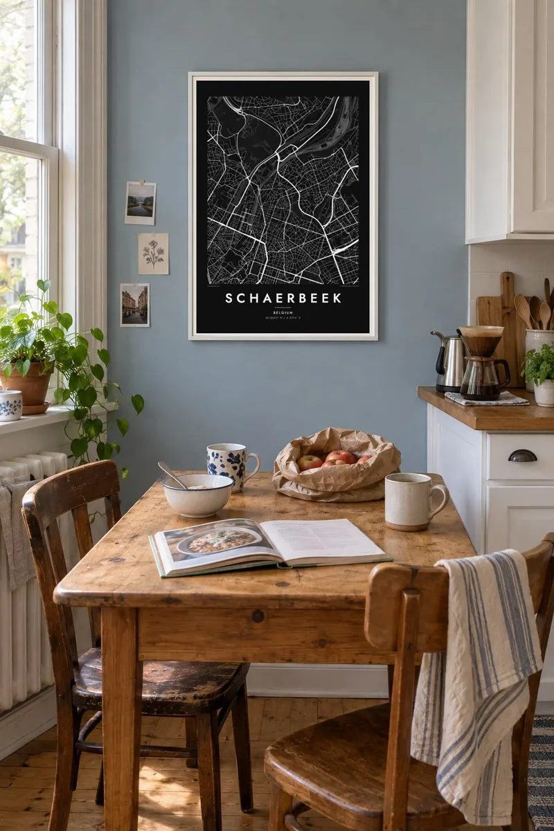
The map
Schaerbeek is one of the nineteen municipalities of the Brussels-Capital Region, rising from the edge of the historic centre toward the north-east. Its map is a tight weave of long, straight avenues laid out as the town grew rapidly in the late 1800s, broken by squares where several streets meet. To the north the pattern gives way to the broad fan of railway tracks around the station and the freight yards.
The municipality is known for its architecture: rows of Art Nouveau and eclectic townhouses, the Maison Autrique designed by Victor Horta early in his career, and a town hall in Flemish Renaissance revival style on Place Colignon. Locals still use the old nickname 'the city of donkeys', a memory of the animals that once carried produce, including the sour cherries grown here, to market in Brussels.
A Schaerbeek map poster shows how orderly this growth was. Avenues radiate from squares, Josaphat Park winds through the grid as a green valley of paths, and at the southern tip the Royal Church of Saint Mary closes the long axis of Rue Royale. It is a portrait of a residential Brussels that many people know from the inside.
Laid out in a narrow valley, the park appears as an irregular island of curving footpaths and ponds inside an otherwise rectilinear street plan.
The long straight line of Rue Royale runs up from the centre and ends at the domed Royal Church of Saint Mary, a clear anchor at the southern edge of the map.
Along the northern edge, dozens of parallel tracks spread and merge around Schaerbeek station, a mass of fine lines that gives the composition a strong base.
Make it yours
Add a date, a name or a line of your own, switch style, size or orientation.
The free preview is low-resolution with a watermark. Prints and HD files are rendered at 300 DPI, up to 7,200 × 10,800 px, without a watermark.
Why Schaerbeek
Schaerbeek is a place people live in rather than pass through, so this map often marks a first flat, a street of townhouses or years spent near Josaphat Park. The avenues and squares give a structured, graphic image that works well on a narrow wall.
Personalise the title and subtitle with a street or a moving-in date, keep or edit the coordinates, and pick one of five styles, from Noir to Blueprint. The $9 digital files cover six print sizes; printed and framed posters are also available.
Order the Schaerbeek poster| Print size | Resolution | Files |
|---|---|---|
| 30 × 40 cm11.8 × 15.7″ | 3,543 × 4,724 px | PNG · PDF |
| 29.7 × 42 cm (A3)11.7 × 16.5″ | 3,508 × 4,961 px | PNG · PDF |
| 42 × 59.4 cm (A2)16.5 × 23.4″ | 4,961 × 7,016 px | PNG · PDF |
| 45.7 × 61 cm18 × 24″ | 5,400 × 7,200 px | PNG · PDF |
| 50 × 70 cm19.7 × 27.6″ | 5,906 × 8,268 px | PNG · PDF |
| 61 × 91.4 cm24 × 36″ | 7,200 × 10,800 px | PNG · PDF |
For comparison, the free preview is 900 px wide, watermarked and meant for screens. The HD files have up to 8× the resolution in each direction and print cleanly at full poster size.
Pick a style at the top of the page, then choose Printed Poster — a size and, if you like, a frame — or Digital HD Files. Checkout takes one step, and your order page updates as soon as the payment goes through.
It is printed on premium 200 gsm matte paper in one of six sizes, from 30 × 40 cm to 24 × 36″. Printed posters start at $39, shipping included.
Yes. Choose a solid wood frame in black, white, natural oak or dark wood. It comes with shatterproof glazing and is ready to hang. Framed posters start at $99, shipping included.
Shipping is free to 60+ countries. Each poster is printed by the nearest of our print partners in 30+ countries and usually arrives in 3–7 business days. You can follow the status and tracking under My Orders. A few countries take 2–5 weeks, and where we don't ship yet, the site tells you before you pay.
Send us a photo within 14 days of delivery and we will reprint it for free or refund you.
Yes. In the editor on this page, change the title, the subtitle and the coordinates line to anything you like, and pick a style and size. Printed, framed and digital orders all use exactly your design.
For $9 you get 300 DPI PNG and print-ready PDF files in all six sizes, without a watermark, to print anywhere. Not sure yet? Download a free watermarked preview first.
Nearby
