The Huangpu bend
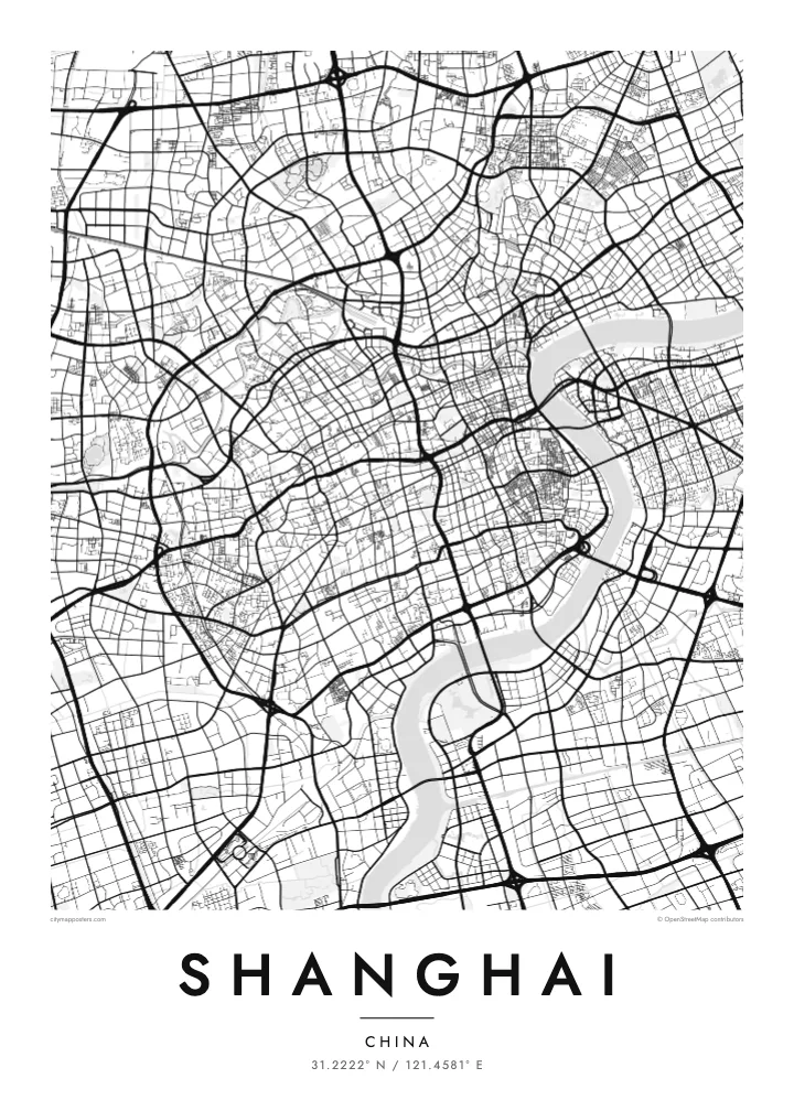
The river loops tightly around Lujiazui, creating a peninsula of land in Pudong that faces the curved waterfront of the Bund directly across the water.
Minimalist map poster · China
31.2222° N / 121.4581° E
A wide delta city split by the curving Huangpu, its dense grid spreading from the Bund toward the Yangtze estuary
One city, five moods
Tap a style to see it on the wall. Every style costs the same — printed, framed or as HD files.
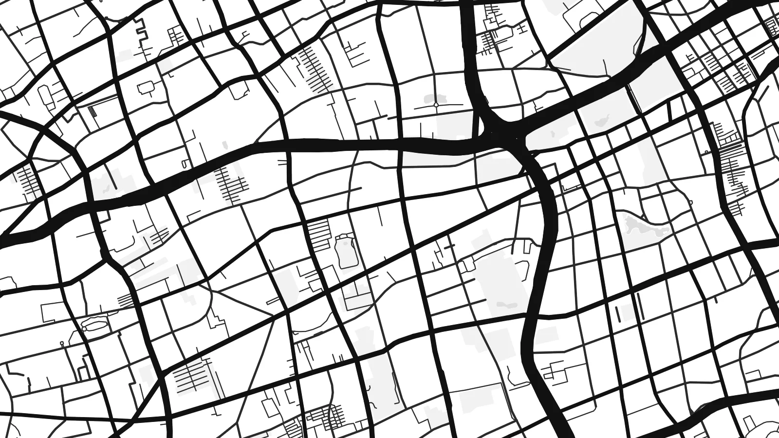 Actual pixels · 24 × 36″ print file
Print-sharp
This is a 100% crop of the real print file. Every poster — printed, framed or downloaded — is rendered on our servers at 300 DPI, up to 7,200 × 10,800 pixels, so even the smallest lanes stay crisp on a 24 × 36″ print.
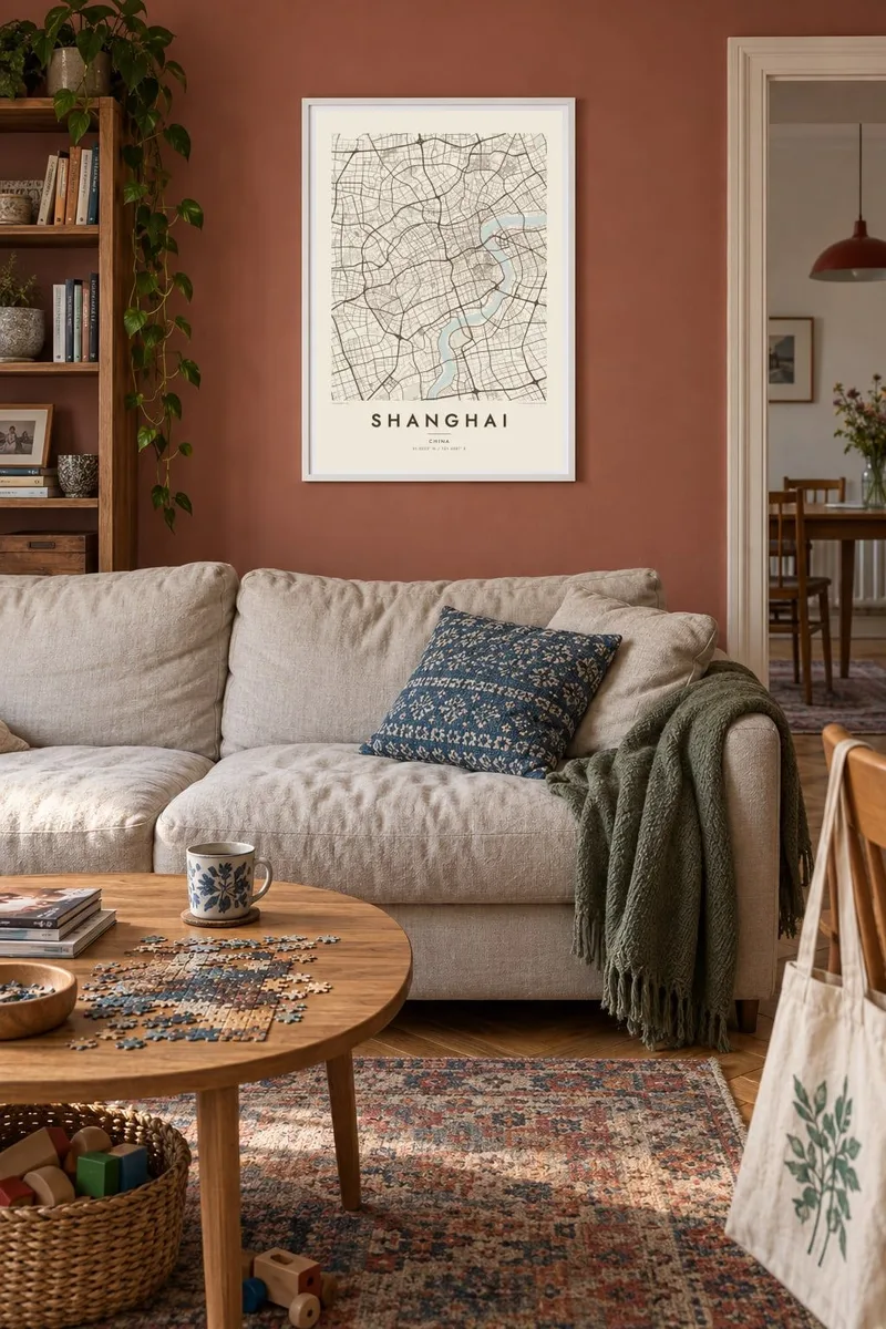
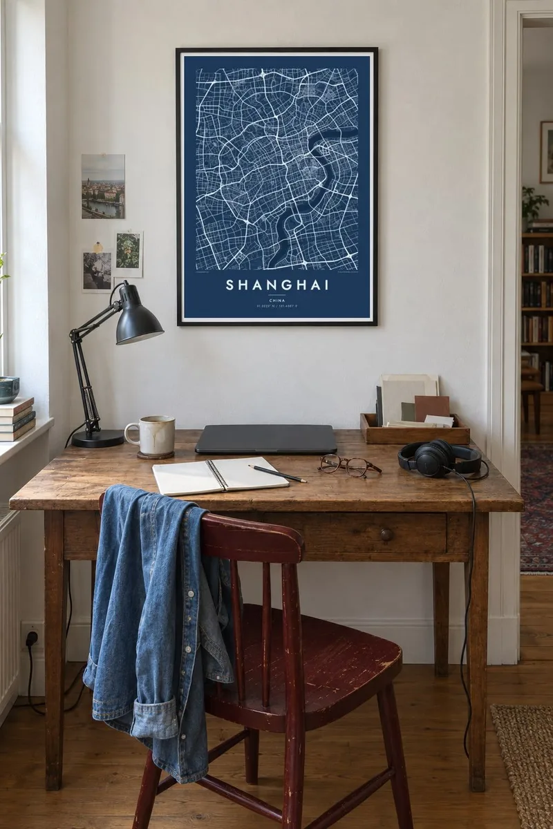
On the wall

The map
From above, Shanghai is organised by water. The Huangpu River swings through the city in a long S-curve, dividing Puxi on the west bank from Pudong on the east. Suzhou Creek threads in from the west and joins it just north of the Bund, and to the north the land gives way to the broad mouth of the Yangtze, where the long shape of Chongming Island lies in the estuary.
Puxi holds the older street patterns. The Bund traces the river's edge, the lanes of the old city form a tight oval where the city walls once stood, and the former French Concession spreads west in a looser weave of tree-lined streets. Across the water, Lujiazui sits inside a sharp bend of the river, its wide boulevards and large blocks drawn at a very different scale from the neighbourhoods opposite.
A Shanghai map poster shows how the city holds together. Concentric ring roads, from the Inner Ring to the Outer Ring, loop around the centre and cross the Huangpu on long bridges such as Nanpu and Yangpu. Rendered in fine black lines, the result is dense near the river and gradually opens out toward the flat farmland and canals of the delta.
The river loops tightly around Lujiazui, creating a peninsula of land in Pudong that faces the curved waterfront of the Bund directly across the water.
The ring of roads around the old walled city is still clearly visible, enclosing a compact mesh of narrow lanes near Yuyuan Garden, south of the Bund.
Several concentric expressways circle the centre, their loops crossing the Huangpu on major bridges and giving the whole map a clear sense of layered structure.
Make it yours
Add a date, a name or a line of your own, switch style, size or orientation.
The free preview is low-resolution with a watermark. Prints and HD files are rendered at 300 DPI, up to 7,200 × 10,800 px, without a watermark.
Why Shanghai
Shanghai is a city people remember by district: a flat in Jing'an, a first job near Lujiazui, a long walk along the Bund at night. A map poster brings those places together in one frame, whether for a home there, a memory from a trip or a gift for someone who moved away.
You can personalise it with a title and a date, such as a move, a wedding or a first visit, and choose one of five styles: Classic black & white, Noir, Paper, Blueprint or Sand. Each style draws the river and dense street grid in its own way.
Order the Shanghai poster| Print size | Resolution | Files |
|---|---|---|
| 30 × 40 cm11.8 × 15.7″ | 3,543 × 4,724 px | PNG · PDF |
| 29.7 × 42 cm (A3)11.7 × 16.5″ | 3,508 × 4,961 px | PNG · PDF |
| 42 × 59.4 cm (A2)16.5 × 23.4″ | 4,961 × 7,016 px | PNG · PDF |
| 45.7 × 61 cm18 × 24″ | 5,400 × 7,200 px | PNG · PDF |
| 50 × 70 cm19.7 × 27.6″ | 5,906 × 8,268 px | PNG · PDF |
| 61 × 91.4 cm24 × 36″ | 7,200 × 10,800 px | PNG · PDF |
For comparison, the free preview is 900 px wide, watermarked and meant for screens. The HD files have up to 8× the resolution in each direction and print cleanly at full poster size.
Pick a style at the top of the page, then choose Printed Poster — a size and, if you like, a frame — or Digital HD Files. Checkout takes one step, and your order page updates as soon as the payment goes through.
It is printed on premium 200 gsm matte paper in one of six sizes, from 30 × 40 cm to 24 × 36″. Printed posters start at $39, shipping included.
Yes. Choose a solid wood frame in black, white, natural oak or dark wood. It comes with shatterproof glazing and is ready to hang. Framed posters start at $99, shipping included.
Shipping is free to 60+ countries. Each poster is printed by the nearest of our print partners in 30+ countries and usually arrives in 3–7 business days. You can follow the status and tracking under My Orders. A few countries take 2–5 weeks, and where we don't ship yet, the site tells you before you pay.
Send us a photo within 14 days of delivery and we will reprint it for free or refund you.
Yes. In the editor on this page, change the title, the subtitle and the coordinates line to anything you like, and pick a style and size. Printed, framed and digital orders all use exactly your design.
For $9 you get 300 DPI PNG and print-ready PDF files in all six sizes, without a watermark, to print anywhere. Not sure yet? Download a free watermarked preview first.
Nearby
