Futian central axis
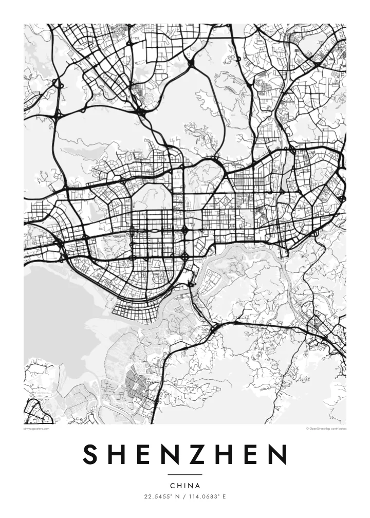
A straight north–south corridor of parks and civic buildings runs up to Lianhua Mountain, framed by an orderly grid of avenues that makes the district easy to read from above.
Minimalist map poster · China
22.5455° N / 114.0683° E
A long coastal strip of planned districts facing Hong Kong across a narrow river and the open water of Shenzhen Bay
One city, five moods
Tap a style to see it on the wall. Every style costs the same — printed, framed or as HD files.
 Actual pixels · 24 × 36″ print file
Print-sharp
This is a 100% crop of the real print file. Every poster — printed, framed or downloaded — is rendered on our servers at 300 DPI, up to 7,200 × 10,800 pixels, so even the smallest lanes stay crisp on a 24 × 36″ print.
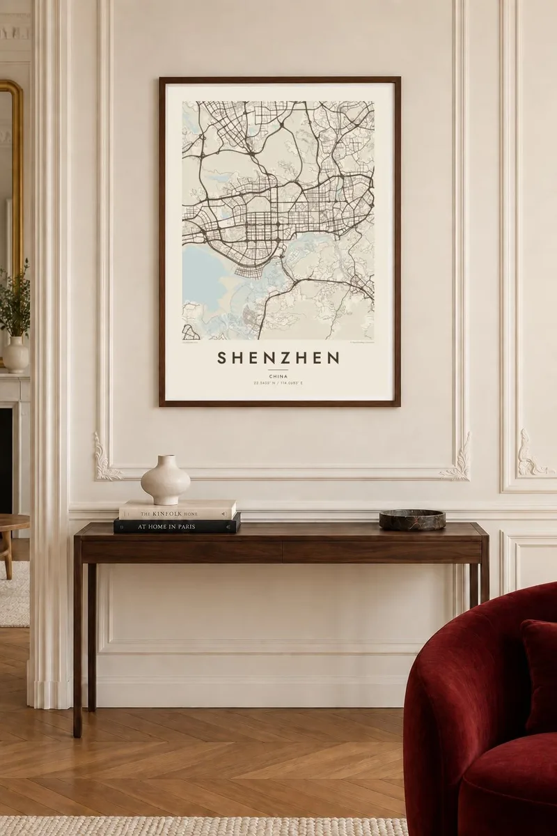
On the wall


The map
Shenzhen stretches east to west along the border with Hong Kong, which follows the Shenzhen River before opening into Shenzhen Bay. The city is long rather than round, arranged as a chain of districts, from Nanshan and Shekou in the west through Futian and Luohu toward the hills and coves of Yantian and Dapeng in the east. Green ridges push between them, so the built-up area appears in broad, separate bands.
Futian is the clearest piece of planning on the map. Its central axis runs north from near the waterfront through the business district to Lianhua Mountain, flanked by an even grid of wide avenues. In the west, the Shenzhen Bay Bridge crosses the water toward Hong Kong, while reclaimed land along the bay gives the shoreline its straight, engineered edges.
Few cities have been drawn so quickly. In 1980 Shenzhen became one of China’s first Special Economic Zones, and an area of fishing villages and market towns grew into one of the country’s largest cities within a few decades. The Ping An Finance Centre in Futian rises to about 599 metres. A Shenzhen map poster records a city that was, in large part, designed on paper first.
A straight north–south corridor of parks and civic buildings runs up to Lianhua Mountain, framed by an orderly grid of avenues that makes the district easy to read from above.
Much of the western shore is reclaimed land, giving the bay long, straight edges, waterfront parks and a bridge that reaches across the water toward Hong Kong’s New Territories.
Beyond Luohu, the city thins out among ridges such as Wutong Mountain, and the coastline breaks into small bays and headlands toward the Dapeng peninsula.
Make it yours
Add a date, a name or a line of your own, switch style, size or orientation.
The free preview is low-resolution with a watermark. Prints and HD files are rendered at 300 DPI, up to 7,200 × 10,800 px, without a watermark.
Why Shenzhen
Shenzhen draws people who arrived for work and stayed, and it often marks a turning point: a first job, a new company, a new family. A poster of its planned districts and reclaimed shoreline is a way of fixing that chapter on a wall.
Personalise the title, subtitle and coordinates line with a district, a company name or the year you moved. The design comes in five styles, Classic black & white, Noir, Paper, Blueprint and Sand, and each is available as digital HD files or a printed poster.
Order the Shenzhen poster| Print size | Resolution | Files |
|---|---|---|
| 30 × 40 cm11.8 × 15.7″ | 3,543 × 4,724 px | PNG · PDF |
| 29.7 × 42 cm (A3)11.7 × 16.5″ | 3,508 × 4,961 px | PNG · PDF |
| 42 × 59.4 cm (A2)16.5 × 23.4″ | 4,961 × 7,016 px | PNG · PDF |
| 45.7 × 61 cm18 × 24″ | 5,400 × 7,200 px | PNG · PDF |
| 50 × 70 cm19.7 × 27.6″ | 5,906 × 8,268 px | PNG · PDF |
| 61 × 91.4 cm24 × 36″ | 7,200 × 10,800 px | PNG · PDF |
For comparison, the free preview is 900 px wide, watermarked and meant for screens. The HD files have up to 8× the resolution in each direction and print cleanly at full poster size.
Pick a style at the top of the page, then choose Printed Poster — a size and, if you like, a frame — or Digital HD Files. Checkout takes one step, and your order page updates as soon as the payment goes through.
It is printed on premium 200 gsm matte paper in one of six sizes, from 30 × 40 cm to 24 × 36″. Printed posters start at $39, shipping included.
Yes. Choose a solid wood frame in black, white, natural oak or dark wood. It comes with shatterproof glazing and is ready to hang. Framed posters start at $99, shipping included.
Shipping is free to 60+ countries. Each poster is printed by the nearest of our print partners in 30+ countries and usually arrives in 3–7 business days. You can follow the status and tracking under My Orders. A few countries take 2–5 weeks, and where we don't ship yet, the site tells you before you pay.
Send us a photo within 14 days of delivery and we will reprint it for free or refund you.
Yes. In the editor on this page, change the title, the subtitle and the coordinates line to anything you like, and pick a style and size. Printed, framed and digital orders all use exactly your design.
For $9 you get 300 DPI PNG and print-ready PDF files in all six sizes, without a watermark, to print anywhere. Not sure yet? Download a free watermarked preview first.
Nearby
