Plaza Luis de Fuentes
The main square, named after the city's founder, sits at the centre of a regular colonial grid. Its tidy blocks form the densest, most ordered part of the poster.
Minimalist map poster · Bolivia
21.5355° S / 64.7296° W
A valley city on the Guadalquivir, with a colonial grid at its centre and vineyards spreading across the surrounding basin.

One city, five moods
Tap a style to see it on the wall. Every style costs the same — printed, framed or as HD files.
 Actual pixels · 24 × 36″ print file
Print-sharp
This is a 100% crop of the real print file. Every poster — printed, framed or downloaded — is rendered on our servers at 300 DPI, up to 7,200 × 10,800 pixels, so even the smallest lanes stay crisp on a 24 × 36″ print.
On the wall

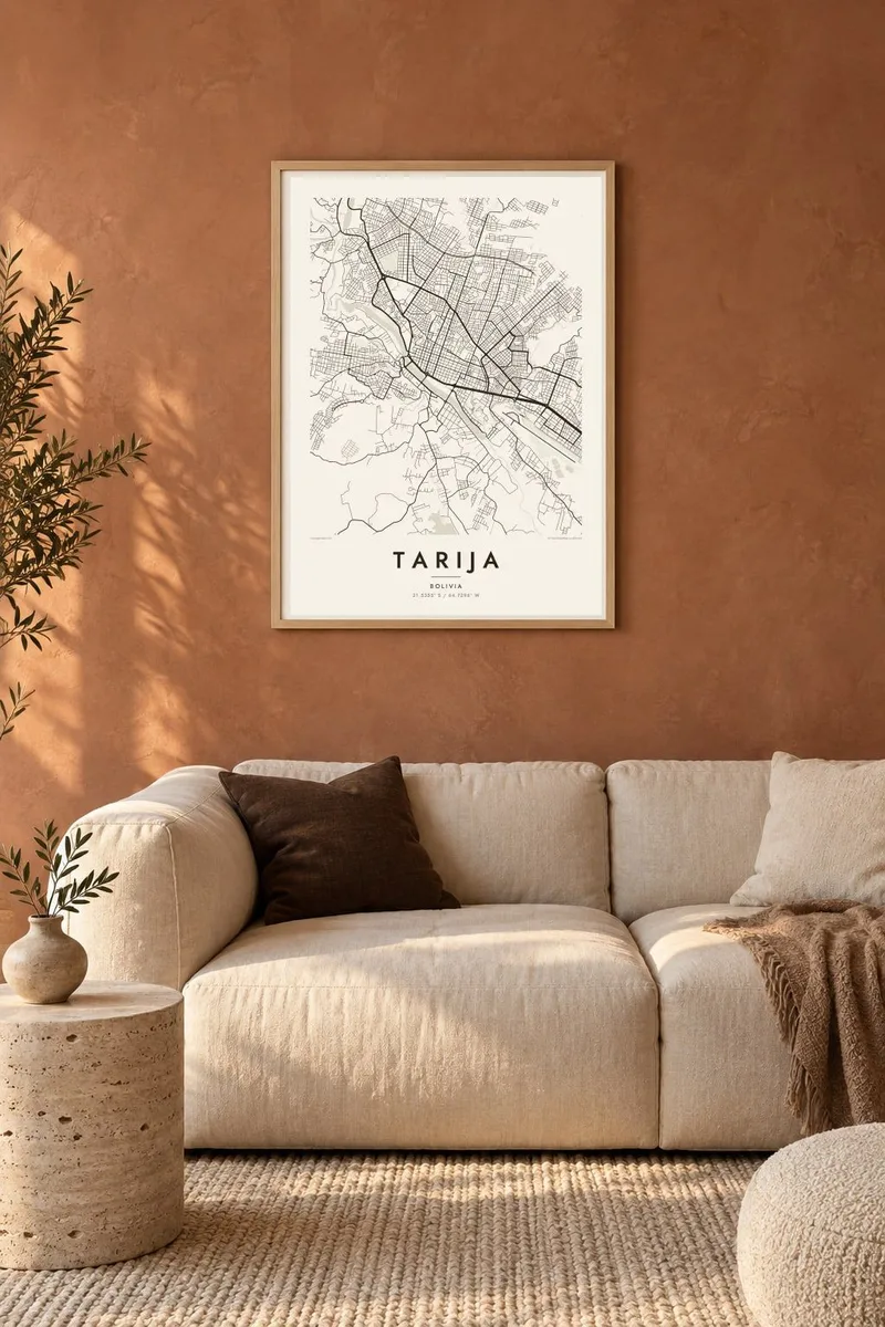
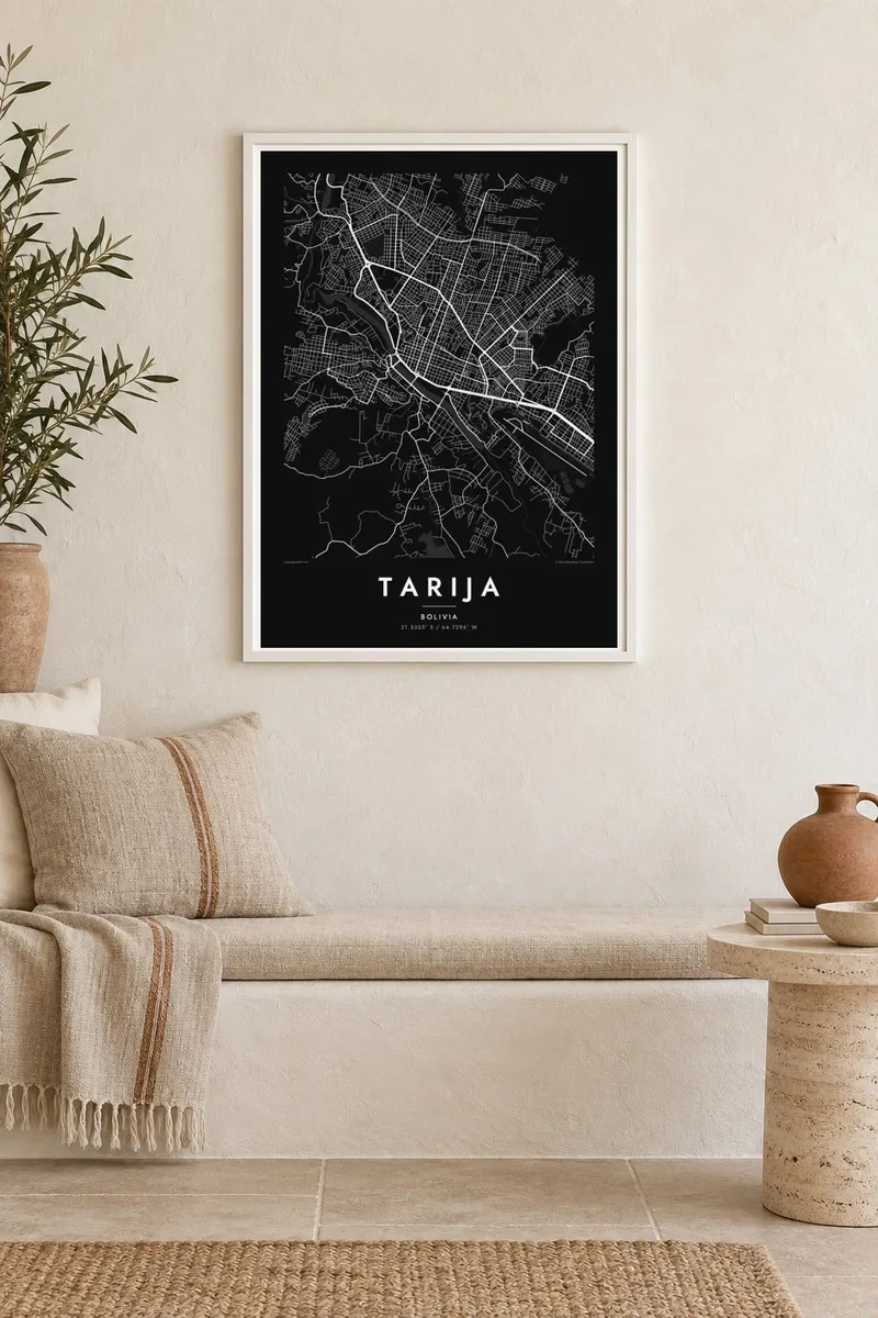
The map
Tarija lies in a broad valley in southern Bolivia, on the banks of the Guadalquivir River, at an altitude of about 1,850 metres. The city was founded in 1574 by Luis de Fuentes y Vargas, and its centre keeps a regular colonial grid around the main square named after him, with shaded plazas and low buildings. The river runs along the edge of the old town.
Around the centre the city has grown in every direction across the valley floor, and the map shows how new neighbourhoods meet the dry, eroded hills that frame the basin. The mild climate and fertile soil have made the valley Bolivia's main wine region, producing wine and the grape spirit singani from vineyards at high altitude.
Tarija is often described as the most Andalusian of Bolivian cities, for its climate, the Spanish name of its river and its relaxed pace. A Tarija map poster places the colonial grid, the river corridor and the edge of the valley in one frame, a clear portrait of a southern city with a character of its own.
The main square, named after the city's founder, sits at the centre of a regular colonial grid. Its tidy blocks form the densest, most ordered part of the poster.
The river runs through the valley beside the old town, its channel and green banks forming a winding line that frames the city on one side.
Beyond the newer districts, dry eroded hills rise around the basin. Where the streets stop, the map opens into rugged ground and the farmland that defines the region.
Make it yours
Add a date, a name or a line of your own, switch style, size or orientation.
The free preview is low-resolution with a watermark. Prints and HD files are rendered at 300 DPI, up to 7,200 × 10,800 px, without a watermark.
Why Tarija
Tarija inspires loyalty in those who grew up there and in visitors who come for the wine and the gentle climate. A map of the city is a fine gift for chapacos living elsewhere in Bolivia or abroad, and a calm piece for any room.
Add a title, a subtitle such as a date or a vineyard name, and the coordinates of a family home. Choose from Classic black & white, Noir, Paper, Blueprint and Sand, and receive HD files for $9 or a printed poster shipped from a nearby partner.
Order the Tarija poster| Print size | Resolution | Files |
|---|---|---|
| 30 × 40 cm11.8 × 15.7″ | 3,543 × 4,724 px | PNG · PDF |
| 29.7 × 42 cm (A3)11.7 × 16.5″ | 3,508 × 4,961 px | PNG · PDF |
| 42 × 59.4 cm (A2)16.5 × 23.4″ | 4,961 × 7,016 px | PNG · PDF |
| 45.7 × 61 cm18 × 24″ | 5,400 × 7,200 px | PNG · PDF |
| 50 × 70 cm19.7 × 27.6″ | 5,906 × 8,268 px | PNG · PDF |
| 61 × 91.4 cm24 × 36″ | 7,200 × 10,800 px | PNG · PDF |
For comparison, the free preview is 900 px wide, watermarked and meant for screens. The HD files have up to 8× the resolution in each direction and print cleanly at full poster size.
Pick a style at the top of the page, then choose Printed Poster — a size and, if you like, a frame — or Digital HD Files. Checkout takes one step, and your order page updates as soon as the payment goes through.
It is printed on premium 200 gsm matte paper in one of six sizes, from 30 × 40 cm to 24 × 36″. Printed posters start at $39, shipping included.
Yes. Choose a solid wood frame in black, white, natural oak or dark wood. It comes with shatterproof glazing and is ready to hang. Framed posters start at $99, shipping included.
Shipping is free to 60+ countries. Each poster is printed by the nearest of our print partners in 30+ countries and usually arrives in 3–7 business days. You can follow the status and tracking under My Orders. A few countries take 2–5 weeks, and where we don't ship yet, the site tells you before you pay.
Send us a photo within 14 days of delivery and we will reprint it for free or refund you.
Yes. In the editor on this page, change the title, the subtitle and the coordinates line to anything you like, and pick a style and size. Printed, framed and digital orders all use exactly your design.
For $9 you get 300 DPI PNG and print-ready PDF files in all six sizes, without a watermark, to print anywhere. Not sure yet? Download a free watermarked preview first.
Nearby
