Station and clock tower
The streets around the railway station and the clock tower form the densest part of the map, a regular grid of shophouse blocks at the heart of town.
Minimalist map poster · Thailand
7.5563° N / 99.6114° E
An inland provincial capital in southern Thailand, surrounded by rubber plantations, with the Trang River flowing past toward the Andaman Sea.

One city, five moods
Tap a style to see it on the wall. Every style costs the same — printed, framed or as HD files.
 Actual pixels · 24 × 36″ print file
Print-sharp
This is a 100% crop of the real print file. Every poster — printed, framed or downloaded — is rendered on our servers at 300 DPI, up to 7,200 × 10,800 pixels, so even the smallest lanes stay crisp on a 24 × 36″ print.
On the wall

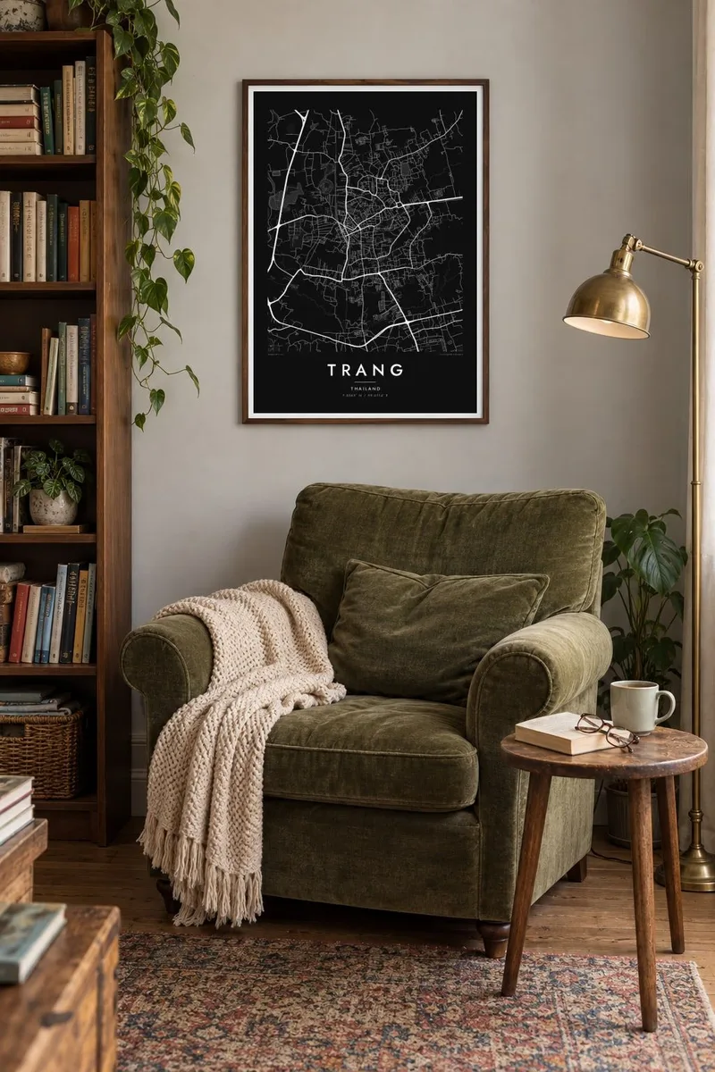
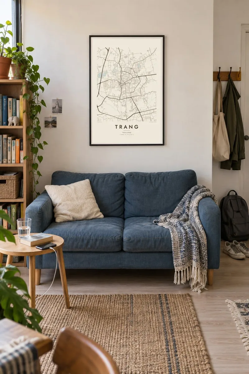
The map
Trang is the capital of Trang province on the Andaman side of southern Thailand. Unlike the beach towns of the region, the city itself lies inland, and from above it appears as a compact grid of shophouse streets around the railway station and clock tower, surrounded by rubber and oil palm plantations that cover the low hills in every direction.
The railway gives the map its spine. The line runs through the town on its way to the river port of Kantang, and several main streets start from the station square. The Trang River passes nearby, winding south toward its estuary and the islands of the coast. Away from the centre, the grid loosens into newer neighbourhoods with larger blocks and more space.
Trang is known across Thailand for its food, especially crispy roast pork and long breakfasts of dim sum and coffee, a legacy of its Hokkien Chinese community. The province also includes islands such as Ko Kradan and Ko Mook. A Trang map poster focuses on the city itself, a quiet grid that works well in any of the five styles.
The streets around the railway station and the clock tower form the densest part of the map, a regular grid of shophouse blocks at the heart of town.
The track cuts a long straight line through the city on its way to Kantang, dividing older streets from newer ones and giving the poster a clear axis.
Beyond the built-up area, the street network thins quickly into scattered roads among rubber and palm plantations, leaving wide, calm margins around the town.
Make it yours
Add a date, a name or a line of your own, switch style, size or orientation.
The free preview is low-resolution with a watermark. Prints and HD files are rendered at 300 DPI, up to 7,200 × 10,800 px, without a watermark.
Why Trang
Trang is the kind of town people come back to for the food and stay for the pace. A map suits anyone who grew up here, spent time on the nearby islands or simply loved the morning coffee shops, and it looks at home in a kitchen as much as a living room.
Personalise the title and subtitle with a travel date or a family name, and edit the coordinates line. Pick one of five styles, try the free watermarked preview, then order a printed poster on matte paper or download the HD files for $9.
Order the Trang poster| Print size | Resolution | Files |
|---|---|---|
| 30 × 40 cm11.8 × 15.7″ | 3,543 × 4,724 px | PNG · PDF |
| 29.7 × 42 cm (A3)11.7 × 16.5″ | 3,508 × 4,961 px | PNG · PDF |
| 42 × 59.4 cm (A2)16.5 × 23.4″ | 4,961 × 7,016 px | PNG · PDF |
| 45.7 × 61 cm18 × 24″ | 5,400 × 7,200 px | PNG · PDF |
| 50 × 70 cm19.7 × 27.6″ | 5,906 × 8,268 px | PNG · PDF |
| 61 × 91.4 cm24 × 36″ | 7,200 × 10,800 px | PNG · PDF |
For comparison, the free preview is 900 px wide, watermarked and meant for screens. The HD files have up to 8× the resolution in each direction and print cleanly at full poster size.
Pick a style at the top of the page, then choose Printed Poster — a size and, if you like, a frame — or Digital HD Files. Checkout takes one step, and your order page updates as soon as the payment goes through.
It is printed on premium 200 gsm matte paper in one of six sizes, from 30 × 40 cm to 24 × 36″. Printed posters start at $39, shipping included.
Yes. Choose a solid wood frame in black, white, natural oak or dark wood. It comes with shatterproof glazing and is ready to hang. Framed posters start at $99, shipping included.
Shipping is free to 60+ countries. Each poster is printed by the nearest of our print partners in 30+ countries and usually arrives in 3–7 business days. You can follow the status and tracking under My Orders. A few countries take 2–5 weeks, and where we don't ship yet, the site tells you before you pay.
Send us a photo within 14 days of delivery and we will reprint it for free or refund you.
Yes. In the editor on this page, change the title, the subtitle and the coordinates line to anything you like, and pick a style and size. Printed, framed and digital orders all use exactly your design.
For $9 you get 300 DPI PNG and print-ready PDF files in all six sizes, without a watermark, to print anywhere. Not sure yet? Download a free watermarked preview first.
Nearby
