River and islands
The Uji River flows swiftly through the centre, divided by small islands linked by bridges. It is the main feature of the map and sets the orientation of the whole town.
Minimalist map poster · Japan
34.8904° N / 135.8032° E
A tea town on the Uji River, where fast water leaves the hills and the Byōdō-in faces its garden pond.

One city, five moods
Tap a style to see it on the wall. Every style costs the same — printed, framed or as HD files.
 Actual pixels · 24 × 36″ print file
Print-sharp
This is a 100% crop of the real print file. Every poster — printed, framed or downloaded — is rendered on our servers at 300 DPI, up to 7,200 × 10,800 pixels, so even the smallest lanes stay crisp on a 24 × 36″ print.
On the wall

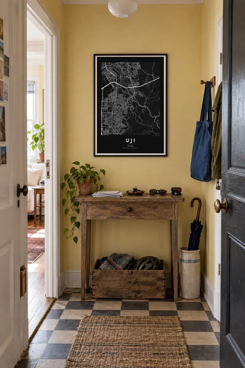
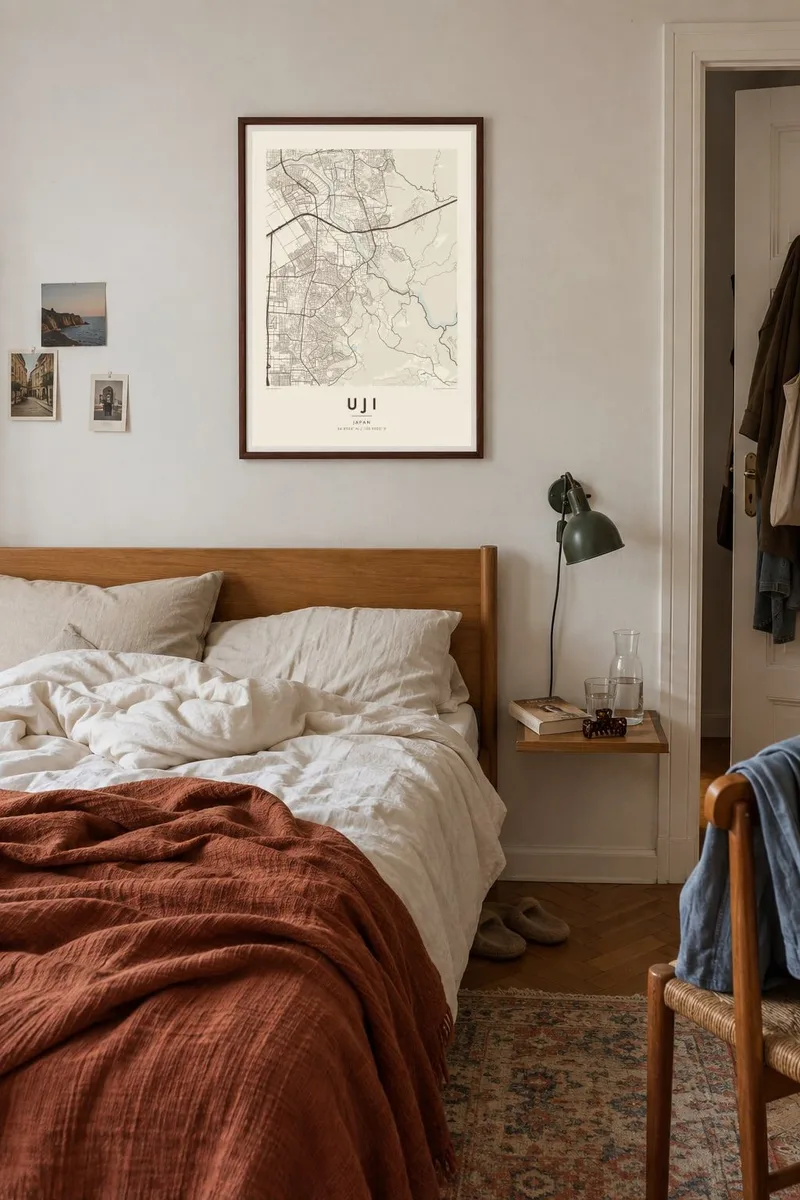
The map
Uji lies south of Kyoto, at the point where the Uji River emerges from a narrow gorge and spreads onto the plain. From above, the historic core clusters around the river, with two small islands in mid-stream and a network of narrow streets on both banks. Residential neighbourhoods and rail lines extend west across the flat land, while forested hills rise to the east.
Uji is best known for the Byōdō-in, an eleventh-century temple whose Phoenix Hall appears on the ten-yen coin, and for the Ujigami Shrine across the river; both belong to the Historic Monuments of Ancient Kyoto World Heritage site. The town is also one of Japan's most celebrated tea regions, and the final chapters of The Tale of Genji are set here.
An Uji map poster captures the town at the scale of a walk: the Uji Bridge, the river islands, the temple precinct and the tea shops along the approach streets, framed by the hills. In black and white, the curving water and the dense old lanes form a quiet, balanced composition.
The Uji River flows swiftly through the centre, divided by small islands linked by bridges. It is the main feature of the map and sets the orientation of the whole town.
The temple grounds on the west bank form a distinct open area, with the Phoenix Hall set beside its pond. On the poster it appears as a calm space within the surrounding streets.
One of the oldest bridge sites in Japan, crossing the river near the town centre. On the map it is a short, strong line joining the two halves of historic Uji.
Make it yours
Add a date, a name or a line of your own, switch style, size or orientation.
The free preview is low-resolution with a watermark. Prints and HD files are rendered at 300 DPI, up to 7,200 × 10,800 px, without a watermark.
Why Uji
Uji is a place visitors remember for tea, temples and the sound of the river, and residents know it as a quiet town beside a great city. A map of it makes a gentle, refined print for a kitchen, a tea corner or a study.
Personalise the title, subtitle and coordinates line, perhaps with the date of a visit or a line from Genji, and choose one of five styles: Classic black & white, Noir, Paper, Blueprint or Sand. Paper and Sand suit the soft tones of a tea room.
Order the Uji poster| Print size | Resolution | Files |
|---|---|---|
| 30 × 40 cm11.8 × 15.7″ | 3,543 × 4,724 px | PNG · PDF |
| 29.7 × 42 cm (A3)11.7 × 16.5″ | 3,508 × 4,961 px | PNG · PDF |
| 42 × 59.4 cm (A2)16.5 × 23.4″ | 4,961 × 7,016 px | PNG · PDF |
| 45.7 × 61 cm18 × 24″ | 5,400 × 7,200 px | PNG · PDF |
| 50 × 70 cm19.7 × 27.6″ | 5,906 × 8,268 px | PNG · PDF |
| 61 × 91.4 cm24 × 36″ | 7,200 × 10,800 px | PNG · PDF |
For comparison, the free preview is 900 px wide, watermarked and meant for screens. The HD files have up to 8× the resolution in each direction and print cleanly at full poster size.
Pick a style at the top of the page, then choose Printed Poster — a size and, if you like, a frame — or Digital HD Files. Checkout takes one step, and your order page updates as soon as the payment goes through.
It is printed on premium 200 gsm matte paper in one of six sizes, from 30 × 40 cm to 24 × 36″. Printed posters start at $39, shipping included.
Yes. Choose a solid wood frame in black, white, natural oak or dark wood. It comes with shatterproof glazing and is ready to hang. Framed posters start at $99, shipping included.
Shipping is free to 60+ countries. Each poster is printed by the nearest of our print partners in 30+ countries and usually arrives in 3–7 business days. You can follow the status and tracking under My Orders. A few countries take 2–5 weeks, and where we don't ship yet, the site tells you before you pay.
Send us a photo within 14 days of delivery and we will reprint it for free or refund you.
Yes. In the editor on this page, change the title, the subtitle and the coordinates line to anything you like, and pick a style and size. Printed, framed and digital orders all use exactly your design.
For $9 you get 300 DPI PNG and print-ready PDF files in all six sizes, without a watermark, to print anywhere. Not sure yet? Download a free watermarked preview first.
Nearby
