The Rhine
The river runs in a straight, embanked channel along the western edge of Vaduz and forms the border with Switzerland. It is the strongest line on the map.
Minimalist map poster · Liechtenstein
47.1415° N / 9.5215° E
A small Alpine capital stretched along the Rhine valley floor, with a castle perched on the slopes above.

One city, five moods
Tap a style to see it on the wall. Every style costs the same — printed, framed or as HD files.
 Actual pixels · 24 × 36″ print file
Print-sharp
This is a 100% crop of the real print file. Every poster — printed, framed or downloaded — is rendered on our servers at 300 DPI, up to 7,200 × 10,800 pixels, so even the smallest lanes stay crisp on a 24 × 36″ print.
On the wall

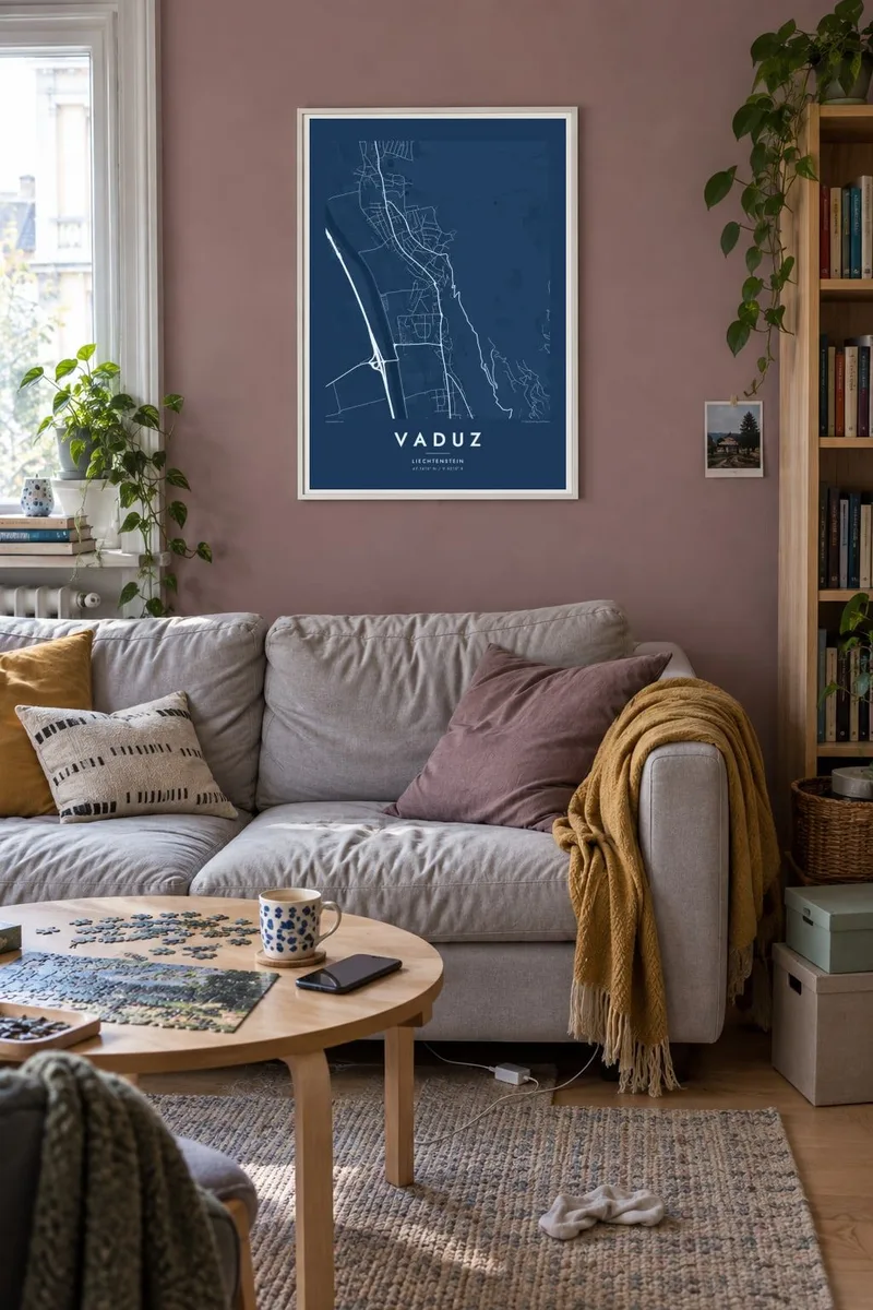
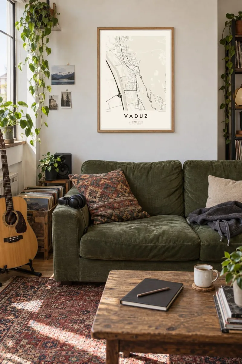
The map
Vaduz lies on the flat floor of the Rhine valley, on the eastern bank of the river, which forms Liechtenstein's border with Switzerland. From above, the town is a long, loose strip of streets between the river's straight, embanked channel to the west and steep forested mountainsides to the east. Roads run along the valley rather than across it, following the land.
Above the town, on a terrace in the mountainside, stands Vaduz Castle, the residence of the Prince of Liechtenstein. It is visible from almost everywhere in the valley. Below it, the compact centre around the Städtle, a pedestrian street, holds the parliament, government buildings and museums. Liechtenstein is one of the smallest countries in Europe, and Vaduz is its capital, though not its largest town.
A Vaduz map poster reads clearly from west to east: the Rhine, the flat farmland and roads on the valley floor, the town itself, and finally the switchbacks climbing the slope. The strong line of the river and the rising terrain give the composition a clean structure. It is an understated map of a very small and very Alpine capital.
The river runs in a straight, embanked channel along the western edge of Vaduz and forms the border with Switzerland. It is the strongest line on the map.
The princely residence sits on a terrace above the town. On the poster it lies where the street pattern gives way to the steep slope and its winding access road.
The town's streets run mostly parallel to the valley, following the flat ground between river and mountain. The layout shows how the terrain shapes everything here.
Make it yours
Add a date, a name or a line of your own, switch style, size or orientation.
The free preview is low-resolution with a watermark. Prints and HD files are rendered at 300 DPI, up to 7,200 × 10,800 px, without a watermark.
Why Vaduz
Vaduz is a place people connect with through work, study, family or a trip through the Alps. A map of the Rhine, the valley and the castle slope is a restrained way to keep that memory, clean enough for an office and personal enough for home.
The title, subtitle and coordinates line are yours to write, in German or English. Choose from five styles: Classic black & white, Noir, Paper, Blueprint or Sand. Classic black & white suits the sharp contrast between river and mountain.
Order the Vaduz poster| Print size | Resolution | Files |
|---|---|---|
| 30 × 40 cm11.8 × 15.7″ | 3,543 × 4,724 px | PNG · PDF |
| 29.7 × 42 cm (A3)11.7 × 16.5″ | 3,508 × 4,961 px | PNG · PDF |
| 42 × 59.4 cm (A2)16.5 × 23.4″ | 4,961 × 7,016 px | PNG · PDF |
| 45.7 × 61 cm18 × 24″ | 5,400 × 7,200 px | PNG · PDF |
| 50 × 70 cm19.7 × 27.6″ | 5,906 × 8,268 px | PNG · PDF |
| 61 × 91.4 cm24 × 36″ | 7,200 × 10,800 px | PNG · PDF |
For comparison, the free preview is 900 px wide, watermarked and meant for screens. The HD files have up to 8× the resolution in each direction and print cleanly at full poster size.
Pick a style at the top of the page, then choose Printed Poster — a size and, if you like, a frame — or Digital HD Files. Checkout takes one step, and your order page updates as soon as the payment goes through.
It is printed on premium 200 gsm matte paper in one of six sizes, from 30 × 40 cm to 24 × 36″. Printed posters start at $39, shipping included.
Yes. Choose a solid wood frame in black, white, natural oak or dark wood. It comes with shatterproof glazing and is ready to hang. Framed posters start at $99, shipping included.
Shipping is free to 60+ countries. Each poster is printed by the nearest of our print partners in 30+ countries and usually arrives in 3–7 business days. You can follow the status and tracking under My Orders. A few countries take 2–5 weeks, and where we don't ship yet, the site tells you before you pay.
Send us a photo within 14 days of delivery and we will reprint it for free or refund you.
Yes. In the editor on this page, change the title, the subtitle and the coordinates line to anything you like, and pick a style and size. Printed, framed and digital orders all use exactly your design.
For $9 you get 300 DPI PNG and print-ready PDF files in all six sizes, without a watermark, to print anywhere. Not sure yet? Download a free watermarked preview first.
Nearby
