Neris and Vilnia
The Vilnia joins the Neris just below the castle hill. That confluence explains where the city began and why the oldest streets cluster in the land between the two rivers.
Minimalist map poster · Lithuania
54.6892° N / 25.2798° E
Two rivers meet below a castle hill, and a crooked medieval core spills out toward forested ridges and wide river bends.

One city, five moods
Tap a style to see it on the wall. Every style costs the same — printed, framed or as HD files.
 Actual pixels · 24 × 36″ print file
Print-sharp
This is a 100% crop of the real print file. Every poster — printed, framed or downloaded — is rendered on our servers at 300 DPI, up to 7,200 × 10,800 pixels, so even the smallest lanes stay crisp on a 24 × 36″ print.
On the wall
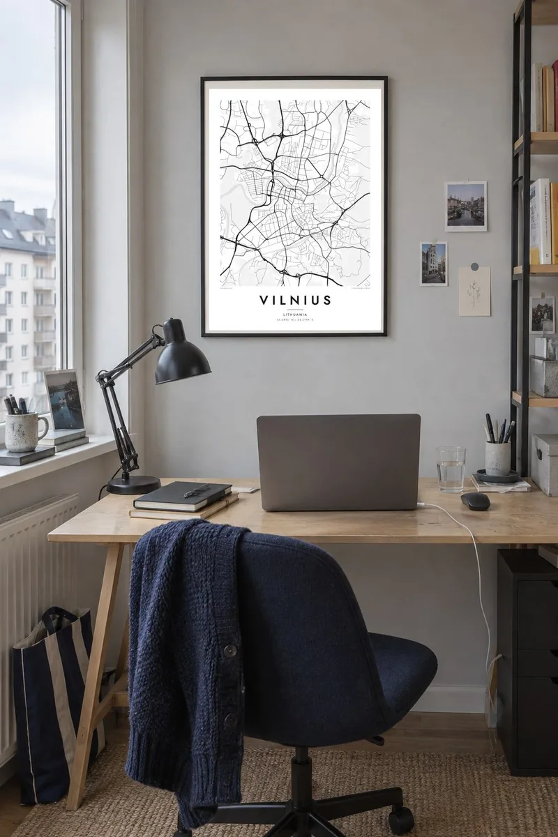


The map
Vilnius grew where the small Vilnia river runs into the broader Neris, and the map still shows that meeting point as its anchor. Above it rises the castle hill with Gediminas Tower. From there the Old Town unfolds southward in a knot of short, bending lanes. It is one of the largest surviving medieval old towns in Northern Europe and is listed by UNESCO, which gives the centre an unusually dense texture.
Beyond the old core the pattern loosens. The Neris swings through the city in wide loops, one of which holds Vingis Park, and the right bank climbs into wooded hills that break the streets into separate pockets. Soviet-era districts to the north and west appear as large blocks with generous gaps between them, a clear contrast to the tight lanes near the cathedral.
A Vilnius map poster in black and white makes these layers easy to read: the fine grain of the Old Town, the open shapes of parks and forest, and the river that ties them together. As the capital of Lithuania, the city is often a first stop for visitors, and its plan rewards those who come back to study it slowly.
The Vilnia joins the Neris just below the castle hill. That confluence explains where the city began and why the oldest streets cluster in the land between the two rivers.
South of the cathedral, streets curve, fork and narrow around churches and courtyards. On paper they form one of the densest patches of the whole map, clearly set apart from the later districts around them.
A deep meander of the Neris wraps around Vingis Park west of the centre. It leaves a rounded green peninsula that reads as a quiet shape among the surrounding blocks.
Make it yours
Add a date, a name or a line of your own, switch style, size or orientation.
The free preview is low-resolution with a watermark. Prints and HD files are rendered at 300 DPI, up to 7,200 × 10,800 px, without a watermark.
Why Vilnius
People hang Vilnius for the years they studied there, for family roots in Lithuania, or for a first walk up to the tower above the rooftops. The map holds that place without the noise of a photograph: just streets, water and green space, drawn where they really are.
You can write your own title, add a subtitle such as a date or a name, and edit the coordinates line, then choose Classic black & white, Noir, Paper, Blueprint or Sand. Buy the HD files for $9 in six print sizes, or order a printed poster with an optional wooden frame.
Order the Vilnius poster| Print size | Resolution | Files |
|---|---|---|
| 30 × 40 cm11.8 × 15.7″ | 3,543 × 4,724 px | PNG · PDF |
| 29.7 × 42 cm (A3)11.7 × 16.5″ | 3,508 × 4,961 px | PNG · PDF |
| 42 × 59.4 cm (A2)16.5 × 23.4″ | 4,961 × 7,016 px | PNG · PDF |
| 45.7 × 61 cm18 × 24″ | 5,400 × 7,200 px | PNG · PDF |
| 50 × 70 cm19.7 × 27.6″ | 5,906 × 8,268 px | PNG · PDF |
| 61 × 91.4 cm24 × 36″ | 7,200 × 10,800 px | PNG · PDF |
For comparison, the free preview is 900 px wide, watermarked and meant for screens. The HD files have up to 8× the resolution in each direction and print cleanly at full poster size.
Pick a style at the top of the page, then choose Printed Poster — a size and, if you like, a frame — or Digital HD Files. Checkout takes one step, and your order page updates as soon as the payment goes through.
It is printed on premium 200 gsm matte paper in one of six sizes, from 30 × 40 cm to 24 × 36″. Printed posters start at $39, shipping included.
Yes. Choose a solid wood frame in black, white, natural oak or dark wood. It comes with shatterproof glazing and is ready to hang. Framed posters start at $99, shipping included.
Shipping is free to 60+ countries. Each poster is printed by the nearest of our print partners in 30+ countries and usually arrives in 3–7 business days. You can follow the status and tracking under My Orders. A few countries take 2–5 weeks, and where we don't ship yet, the site tells you before you pay.
Send us a photo within 14 days of delivery and we will reprint it for free or refund you.
Yes. In the editor on this page, change the title, the subtitle and the coordinates line to anything you like, and pick a style and size. Printed, framed and digital orders all use exactly your design.
For $9 you get 300 DPI PNG and print-ready PDF files in all six sizes, without a watermark, to print anywhere. Not sure yet? Download a free watermarked preview first.
Nearby
