Confluence of rivers
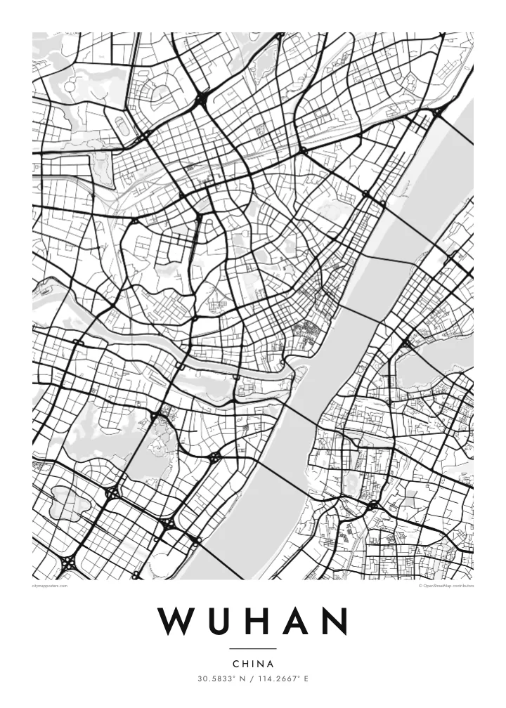
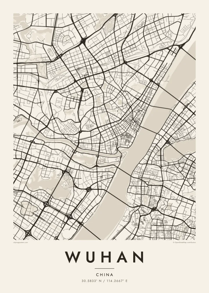
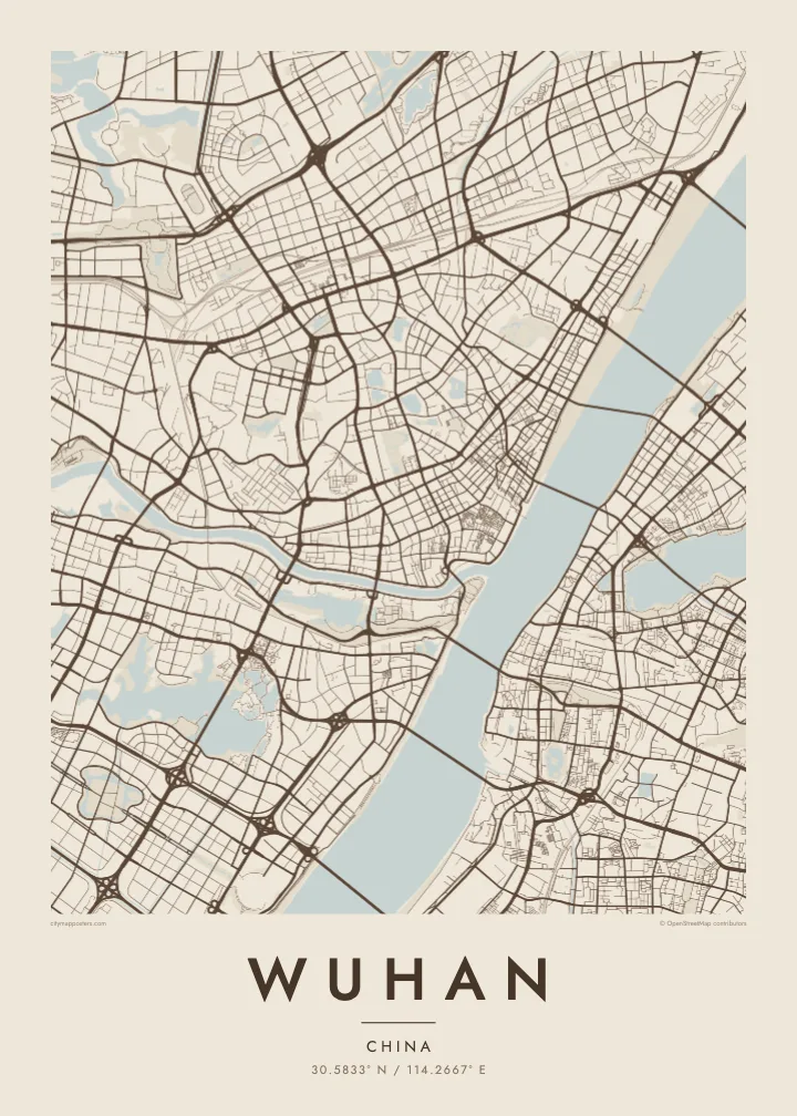
The narrow Han River joins the broad Yangtze at the heart of the city, dividing the plan into three clear sections and giving Wuhan its recognisable Y-shaped outline.
Ata mapa faigafua · China
30.5833° N / 114.2667° E
Three historic towns divided by the Yangtze and Han rivers, set among dozens of lakes on a wide plain


Kolo e tahi, lanu e nima
Tuki he sitaili ke sio ai ʻi te holo. ʻE tatau pē te totogi ʻo te sitaili fuli pē — mokā tā, fakakātoa, peʻe ko he ʻu faila HD.
 Ngaahi pikiseli moʻoni · faila tā 24 × 36″
Mahino lelei ki te pulūti
Ko he konga 100% ʻo te faila tā moʻoni ʻaeni. Ko te ʻu posita fuli pē — mokā tā, fakakātoa peʻe download — ʻe fakatupu ʻi ʻomātou seva ʻi te 300 DPI, aʻu ki te 7,200 × 10,800 pikiseli, koia ʻe nofo mahino ai te ʻu ala liliki ʻi he tā 24 × 36″.
ʻI Te Puipui


Te mapa
Wuhan is formed by a meeting of rivers. The Han River flows into the Yangtze in the middle of the city, and the two waterways divide it into three historic parts: Hankou to the north-west, Hanyang to the south-west and Wuchang on the eastern bank. On a map, this Y-shaped junction is unmistakable, with bridges linking each piece to the others.
Water continues beyond the rivers. Wuhan is scattered with lakes, the best known being East Lake, whose irregular shoreline spreads across the eastern districts beside Wuhan University. Hankou keeps a denser grid, including streets of the former concessions near the riverbank, while Hanyang and Wuchang are marked by Turtle Hill and Snake Hill, which face each other across the Yangtze.
The Wuhan Yangtze River Bridge, opened in 1957, was the first bridge built across the Yangtze, and it runs between those two hills. The Yellow Crane Tower, a landmark rebuilt many times over the centuries, stands on Snake Hill beside it. A Wuhan map poster shows a city where almost every journey across town involves crossing water.
The narrow Han River joins the broad Yangtze at the heart of the city, dividing the plan into three clear sections and giving Wuhan its recognisable Y-shaped outline.
A large lake with a deeply indented shoreline in Wuchang, surrounded by parkland, causeways and university campuses. It forms one of the biggest open shapes on the eastern side of the map.
A series of bridges crosses the Yangtze within the city, starting with the 1957 bridge between Turtle Hill and Snake Hill. They appear as spaced lines spanning the widest stretch of water.
Faʻu ke ʻau ʻa ʻau
Tuku he ʻaho, he hingoa peʻe he kiʻi palalau ʻa ʻau, fetogi te faʻahiga, te lahi peʻe te hake.
Ko te faʻata fua noa ʻe māʻulalo hono lelei pea ʻe ʻi ai he fakaʻilonga. Ko te ʻu tā mo te ʻu faila HD ʻe fakatupu ʻi te 300 DPI, aʻu ki te 7,200 × 10,800 px, ʻe mole ʻi ai he fakaʻilonga.
Koteā ko Wuhan
Wuhan’s map carries meaning for graduates of its many universities, families from Hankou or Wuchang, and anyone who has watched the Yangtze from the old bridge. The rivers and lakes give it a spacious, balanced composition that stays clear at every print size.
Choose a title and subtitle, perhaps a campus, a neighbourhood or a year, and set the coordinates line. Then pick one of five styles, Classic black & white, Noir, Paper, Blueprint or Sand, as instant HD files or a printed poster with an optional wooden frame.
Fakatau te posita Wuhan| Lahi ʻo te pulūti | Mahino | Faile |
|---|---|---|
| 30 × 40 cm11.8 × 15.7″ | 3,543 × 4,724 px | PNG · PDF |
| 29.7 × 42 cm (A3)11.7 × 16.5″ | 3,508 × 4,961 px | PNG · PDF |
| 42 × 59.4 cm (A2)16.5 × 23.4″ | 4,961 × 7,016 px | PNG · PDF |
| 45.7 × 61 cm18 × 24″ | 5,400 × 7,200 px | PNG · PDF |
| 50 × 70 cm19.7 × 27.6″ | 5,906 × 8,268 px | PNG · PDF |
| 61 × 91.4 cm24 × 36″ | 7,200 × 10,800 px | PNG · PDF |
Ko te ata ʻe mole totogi ʻe 900 px tona laulahi, mo te fakaʻilonga, ki te sioʻata pē. Ko te ʻu faile HD ʻe aʻu ki te liuga 8 tona mahino, pea ʻe pulūti lelei ʻi te lahi kātoa.
Fili he sitaili ʻi te tuʻa ʻo te pasina, pea fili leva te Posita Tā — he lahi pea, kapau ʻe ke loto ai, he fakakātoa — peʻe ko te ʻu Faila HD Fakakomipiuta. ʻE tahi pē te sitepu ʻo te totogi, pea ʻe fakafou fakavavevave pē tau pasina fakatau mai te taimi ʻe fai ai te totogi.
ʻE tā ʻi he pepa lelei ʻaupito 200 gsm matte, ʻi he tahi ʻo te ono lahi, mai te 30 × 40 cm ki te 24 × 36″. ʻE kamata te ʻu posita tā ʻi te $39, kātoa mo te ʻave.
ʻIo. Fili he fakakātoa ʻakau moʻoni ʻi te kili, hinahina, ʻakau natula peʻe ʻakau ʻuliʻuli. ʻE ʻi ai mo he sioga mālohi ʻe mole mafesi, pea kua teu ke tautau. ʻE kamata te ʻu posita fakakātoa ʻi te $99, kātoa mo te ʻave.
Ko te fakahoko e mole totogi ki te ʼu fenua e 60+. Ko te pōsita taki taha ʼe tā e te tahi ʼo ʼemau ʼu kaufakalogo tā ʼe ofi mai, ʼi te ʼu fenua e 30+, pea ʼe hoko mai ʼi te ʼu ʼaho gaue e 3–7. ʼE feala hau ke ke vakaʼi te tuʼunga mo te tracking ʼi Oku Fakamaʼu. ʼE ʼi ai te ʼu fenua ʼe 2–5 te ʼu vaiaho, pea ʼi te ʼu fenua ʼaē ʼe heʼeki tou fakahoko ki ai, ʼe fakahā e te saite ʼi muʼa ʼo tau totogi.
Fekau mai he ʻata ʻi loto ʻi te ʻaho e 14 talu mai te aʻu mai, pea mātou toe tā noa peʻe toe totogi atu.
ʻIo. ʻI te meʻa fakatonutonu ʻi te pasina ʻaeni, fetogi te kupu tāfito, te kupu lalo pea mo te laina koʻoliteti ki he meʻa fuli pē ʻe ke loto ai, pea fili he sitaili mo he lahi. Ko te ʻu fakatau tā, fakakātoa mo fakakomipiuta ʻe fakaʻaogaʻi katoa pē tou fakatātā.
Mo te $9 ʻe ke maʻu ai te ʻu faila PNG 300 DPI mo PDF kua teu ke tā, ʻi te ono lahi kātoa, ʻe mole ʻi ai he fakaʻilonga, ke ke tā ai ʻi soʻo he potu. Kei tā fakafiafia? Download muʻa he faʻata mokā mo he fakaʻilonga, ʻe fua noa.
