Meiji Yōsui
The historic irrigation canal and its branches run across the plain in long, fine lines, the backbone of the farmland that shaped Anjō's growth.
Minimalist map poster · Japan
34.9583° N / 137.0805° E
A flat, finely gridded city on the Nishimikawa plain, crossed by irrigation canals, rail lines and farmland

One city, five moods
Tap a style to see it on the wall. Every style costs the same — printed, framed or as HD files.
 Actual pixels · 24 × 36″ print file
Print-sharp
This is a 100% crop of the real print file. Every poster — printed, framed or downloaded — is rendered on our servers at 300 DPI, up to 7,200 × 10,800 pixels, so even the smallest lanes stay crisp on a 24 × 36″ print.
On the wall
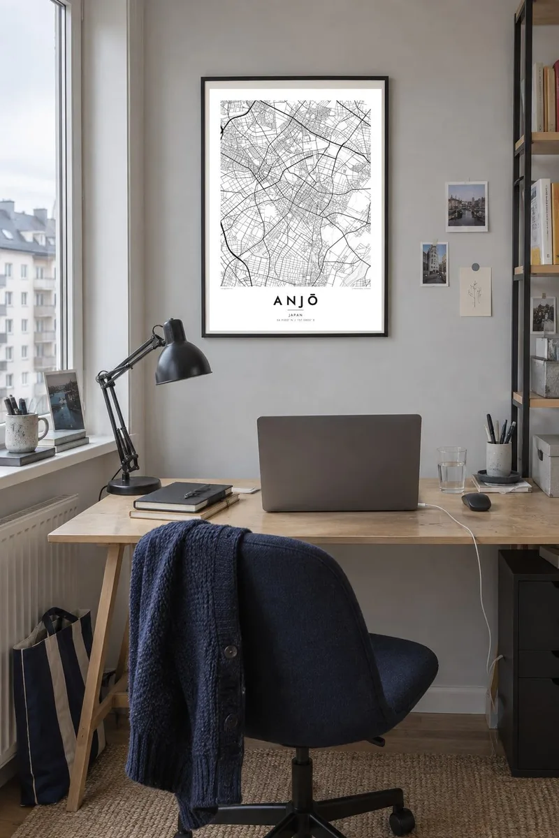


The map
Anjō lies in the Nishimikawa area of central Aichi, on a broad, flat plain between Nagoya and Okazaki. From above, it is one of the most evenly textured maps in the region: a fine grid of residential streets and fields, broken up by rail lines, main roads and the long thin lines of irrigation canals. There are no dramatic hills or coastlines, which lets the pattern of the streets carry the design.
Much of that landscape owes its shape to the Meiji Yōsui, an irrigation canal completed in the late nineteenth century that turned dry upland into productive farmland. Anjō's cooperative, diversified farming in the early twentieth century earned it the nickname Japan's Denmark. Today the city is also closely tied to the automotive industry of the surrounding area, while keeping much of its agricultural ground.
An Anjō map poster shows a city where housing, factories and rice fields sit side by side in a close, regular mesh. The Tōkaidō main line and the Shinkansen cut straight lines across the plain, with Mikawa-Anjō station on the high-speed route. Canals thread through at gentle angles, and in black and white the overall effect is almost like a woven textile.
The historic irrigation canal and its branches run across the plain in long, fine lines, the backbone of the farmland that shaped Anjō's growth.
The Tōkaidō main line and the Shinkansen cross the city in straight, confident strokes, dividing the even grid of streets into clear sections.
Residential blocks and farmland alternate across the flat plain, so the map shows a steady, detailed texture with no single dominant centre.
Make it yours
Add a date, a name or a line of your own, switch style, size or orientation.
The free preview is low-resolution with a watermark. Prints and HD files are rendered at 300 DPI, up to 7,200 × 10,800 px, without a watermark.
Why Anjō
Anjō does not rely on landmarks for its character, and that is exactly why its map works so well as a print. The canals, grid and rail lines make a calm, detailed pattern that suits people who live and work here, or who grew up among its fields.
The title, subtitle and coordinates line can be personalised for a home, a family or a date, and the design comes in five styles: Classic black and white, Noir, Paper, Blueprint or Sand. Order HD files or a printed poster.
Order the Anjō poster| Print size | Resolution | Files |
|---|---|---|
| 30 × 40 cm11.8 × 15.7″ | 3,543 × 4,724 px | PNG · PDF |
| 29.7 × 42 cm (A3)11.7 × 16.5″ | 3,508 × 4,961 px | PNG · PDF |
| 42 × 59.4 cm (A2)16.5 × 23.4″ | 4,961 × 7,016 px | PNG · PDF |
| 45.7 × 61 cm18 × 24″ | 5,400 × 7,200 px | PNG · PDF |
| 50 × 70 cm19.7 × 27.6″ | 5,906 × 8,268 px | PNG · PDF |
| 61 × 91.4 cm24 × 36″ | 7,200 × 10,800 px | PNG · PDF |
For comparison, the free preview is 900 px wide, watermarked and meant for screens. The HD files have up to 8× the resolution in each direction and print cleanly at full poster size.
Pick a style at the top of the page, then choose Printed Poster — a size and, if you like, a frame — or Digital HD Files. Checkout takes one step, and your order page updates as soon as the payment goes through.
It is printed on premium 200 gsm matte paper in one of six sizes, from 30 × 40 cm to 24 × 36″. Printed posters start at $39, shipping included.
Yes. Choose a solid wood frame in black, white, natural oak or dark wood. It comes with shatterproof glazing and is ready to hang. Framed posters start at $99, shipping included.
Shipping is free to 60+ countries. Each poster is printed by the nearest of our print partners in 30+ countries and usually arrives in 3–7 business days. You can follow the status and tracking under My Orders. A few countries take 2–5 weeks, and where we don't ship yet, the site tells you before you pay.
Send us a photo within 14 days of delivery and we will reprint it for free or refund you.
Yes. In the editor on this page, change the title, the subtitle and the coordinates line to anything you like, and pick a style and size. Printed, framed and digital orders all use exactly your design.
For $9 you get 300 DPI PNG and print-ready PDF files in all six sizes, without a watermark, to print anywhere. Not sure yet? Download a free watermarked preview first.
Nearby
