Education City
A large, carefully planned campus district of university buildings and internal loop roads. It reads as a distinct patch of open, orderly space against the denser residential areas nearby.
Minimalist map poster · Qatar
25.2919° N / 51.4244° E
Broad desert blocks, wide multi-lane highways and large campuses spreading west of Doha across flat, open ground.

One city, five moods
Tap a style to see it on the wall. Every style costs the same — printed, framed or as HD files.
 Actual pixels · 24 × 36″ print file
Print-sharp
This is a 100% crop of the real print file. Every poster — printed, framed or downloaded — is rendered on our servers at 300 DPI, up to 7,200 × 10,800 pixels, so even the smallest lanes stay crisp on a 24 × 36″ print.
On the wall
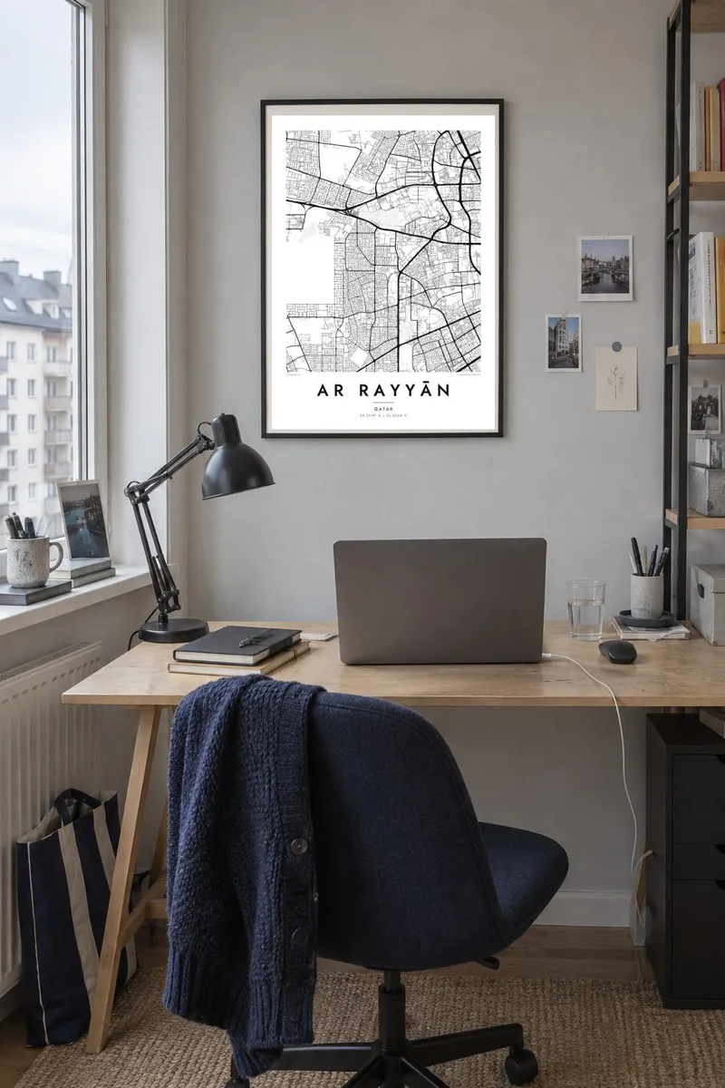


The map
Ar Rayyān sits directly west of Doha, and from above the two run together without a clear edge. The difference is scale. Ar Rayyān's plan is made of large superblocks, generous highway corridors and big interchanges set out across flat desert. Residential districts fill the spaces between them, with cul-de-sacs and villa compounds forming fine textures inside the coarse grid of main roads.
Several of the most recognisable shapes on the map are purpose-built. Education City, home to branch campuses of international universities, covers a wide area of landscaped plots and ring roads. The Aspire Zone groups sports venues together, including Khalifa International Stadium. The municipality also hosted matches at the 2022 FIFA World Cup, and the stadium footprints appear as clean ovals within the street pattern.
Because the land is so level, the geometry does all the work. On an Ar Rayyān map poster the long arterial roads, the tidy compounds and the large rounded forms of stadiums and campuses create a composition that feels planned and contemporary. It is a portrait of a place built quickly and deliberately, where engineered layout matters more than rivers or hills.
A large, carefully planned campus district of university buildings and internal loop roads. It reads as a distinct patch of open, orderly space against the denser residential areas nearby.
The sports complex around Khalifa International Stadium gathers several large venues and parkland into one compact area. On the map it appears as a cluster of rounded, open shapes.
Wide multi-lane roads and big interchanges divide the municipality into huge blocks. They form the strongest lines on the poster and link Ar Rayyān to central Doha.
Make it yours
Add a date, a name or a line of your own, switch style, size or orientation.
The free preview is low-resolution with a watermark. Prints and HD files are rendered at 300 DPI, up to 7,200 × 10,800 px, without a watermark.
Why Ar Rayyān
For residents, students and people who have worked in Qatar, this map records a specific part of the Doha area that is often overlooked in favour of the waterfront skyline. It suits people who value clean, architectural line work.
The title, subtitle and coordinates line are all editable, so you can name a campus, a compound or a year. Pick one of five styles. Blueprint and Sand work particularly well with the desert geometry, alongside Classic black & white, Noir and Paper.
Order the Ar Rayyān poster| Print size | Resolution | Files |
|---|---|---|
| 30 × 40 cm11.8 × 15.7″ | 3,543 × 4,724 px | PNG · PDF |
| 29.7 × 42 cm (A3)11.7 × 16.5″ | 3,508 × 4,961 px | PNG · PDF |
| 42 × 59.4 cm (A2)16.5 × 23.4″ | 4,961 × 7,016 px | PNG · PDF |
| 45.7 × 61 cm18 × 24″ | 5,400 × 7,200 px | PNG · PDF |
| 50 × 70 cm19.7 × 27.6″ | 5,906 × 8,268 px | PNG · PDF |
| 61 × 91.4 cm24 × 36″ | 7,200 × 10,800 px | PNG · PDF |
For comparison, the free preview is 900 px wide, watermarked and meant for screens. The HD files have up to 8× the resolution in each direction and print cleanly at full poster size.
Pick a style at the top of the page, then choose Printed Poster — a size and, if you like, a frame — or Digital HD Files. Checkout takes one step, and your order page updates as soon as the payment goes through.
It is printed on premium 200 gsm matte paper in one of six sizes, from 30 × 40 cm to 24 × 36″. Printed posters start at $39, shipping included.
Yes. Choose a solid wood frame in black, white, natural oak or dark wood. It comes with shatterproof glazing and is ready to hang. Framed posters start at $99, shipping included.
Shipping is free to 60+ countries. Each poster is printed by the nearest of our print partners in 30+ countries and usually arrives in 3–7 business days. You can follow the status and tracking under My Orders. A few countries take 2–5 weeks, and where we don't ship yet, the site tells you before you pay.
Send us a photo within 14 days of delivery and we will reprint it for free or refund you.
Yes. In the editor on this page, change the title, the subtitle and the coordinates line to anything you like, and pick a style and size. Printed, framed and digital orders all use exactly your design.
For $9 you get 300 DPI PNG and print-ready PDF files in all six sizes, without a watermark, to print anywhere. Not sure yet? Download a free watermarked preview first.
Nearby
