Floating Harbour
A long, non-tidal basin through the city centre, lined with former warehouses, quays and bridges. On the map it forms a clear ribbon of water crossing the middle.
Minimalist map poster · United Kingdom
51.4552° N / 2.5966° W
A harbour city threaded by the Avon, from the tight curve of the Floating Harbour to the deep cut of the gorge

One city, five moods
Tap a style to see it on the wall. Every style costs the same — printed, framed or as HD files.
 Actual pixels · 24 × 36″ print file
Print-sharp
This is a 100% crop of the real print file. Every poster — printed, framed or downloaded — is rendered on our servers at 300 DPI, up to 7,200 × 10,800 pixels, so even the smallest lanes stay crisp on a 24 × 36″ print.
On the wall

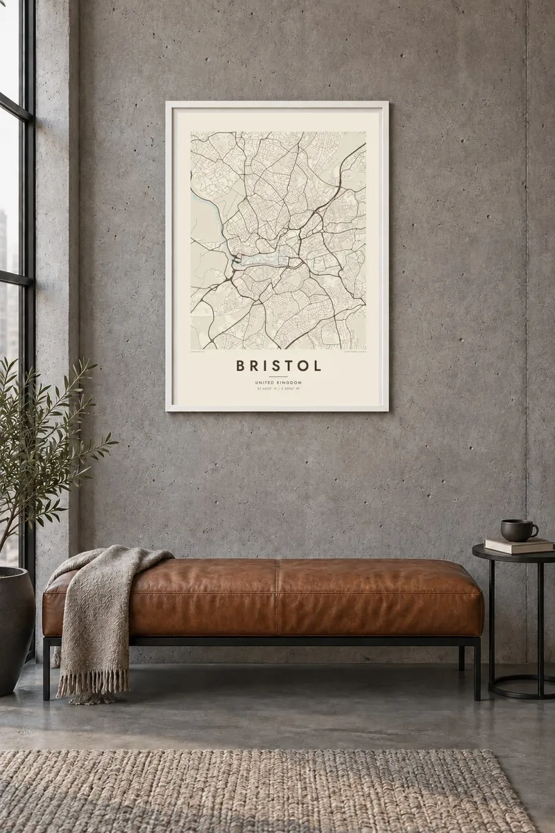
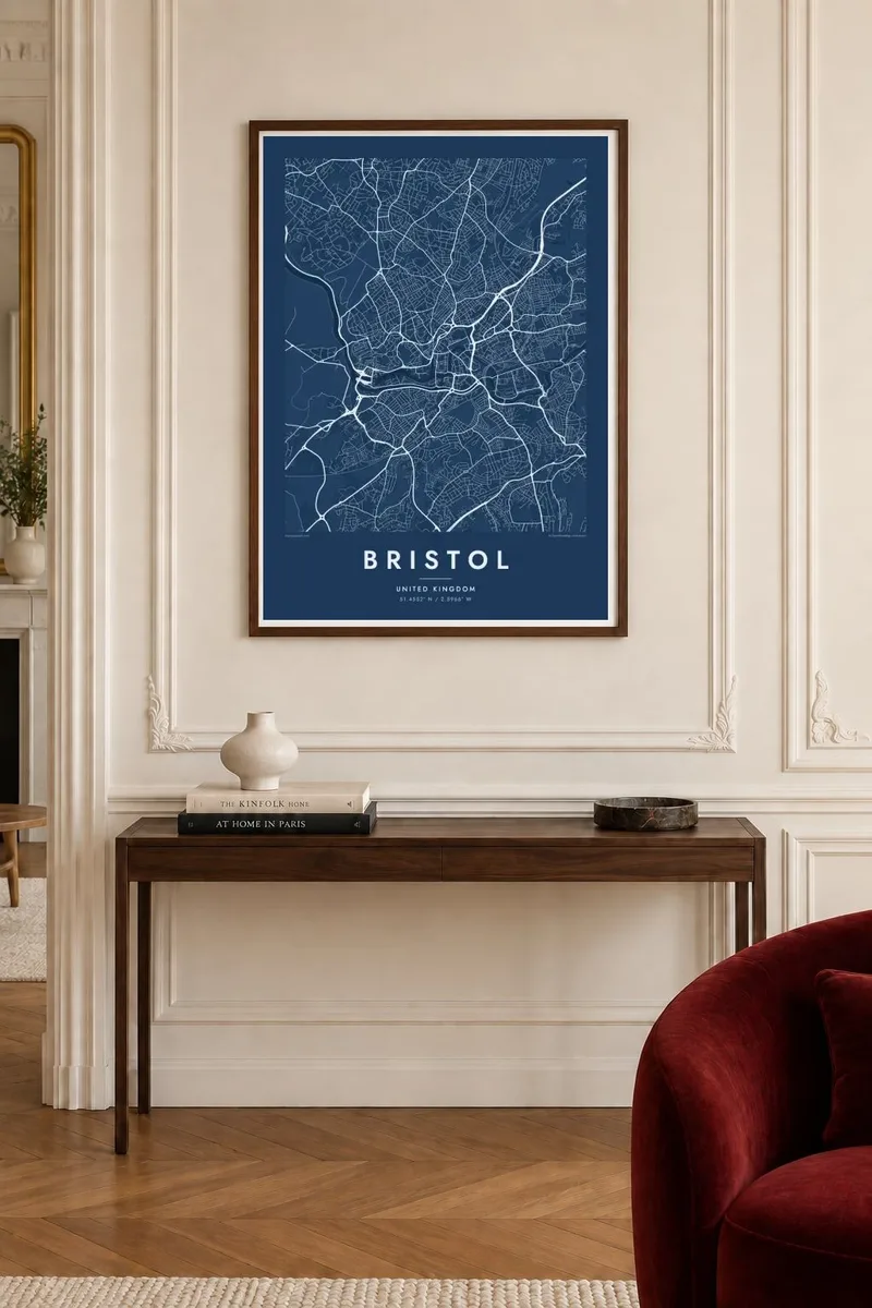
The map
Bristol is shaped by water. The River Avon winds through the city, and in the centre an old stretch of it was turned into the Floating Harbour, a long, narrow basin with quays and docks along both sides. West of the centre the river leaves through the Avon Gorge, a steep cut between limestone cliffs, before heading to the Severn estuary. Around these waterways the streets climb onto the hills of Clifton, Kingsdown and Totterdown.
Isambard Kingdom Brunel left a strong mark here. His Clifton Suspension Bridge spans the gorge, and his steamship SS Great Britain sits in a dry dock on the harbour. The city was a major Atlantic port for centuries, and its wealth was closely tied to the transatlantic slave trade, a history that has become a central part of public debate in the city.
A Bristol map poster traces the whole story of the waterways: the harbour basin, the New Cut dug to carry the river's tidal flow, and the gorge curving away to the west. The hills show up in how the streets break into terraces and crescents, while the centre remains a dense tangle of medieval lanes.
A long, non-tidal basin through the city centre, lined with former warehouses, quays and bridges. On the map it forms a clear ribbon of water crossing the middle.
West of Clifton the river runs through a deep limestone gorge. The Clifton Suspension Bridge crosses it high above the water, a thin line between wooded cliffs.
On the hill above the gorge, Georgian crescents and terraces follow the slope in curved rows, giving the western part of the map an elegant, flowing pattern.
Make it yours
Add a date, a name or a line of your own, switch style, size or orientation.
The free preview is low-resolution with a watermark. Prints and HD files are rendered at 300 DPI, up to 7,200 × 10,800 px, without a watermark.
Why Bristol
Bristol has a loyal following among people who studied, worked or grew up there. The harbour and the gorge are shapes people recognise immediately, and the map carries memories of specific quays, hills and bridges.
Personalise the title and subtitle with a year, a street or a university, and choose from Classic black & white, Noir, Paper, Blueprint and Sand. Blueprint suits the harbour's maritime character.
Order the Bristol poster| Print size | Resolution | Files |
|---|---|---|
| 30 × 40 cm11.8 × 15.7″ | 3,543 × 4,724 px | PNG · PDF |
| 29.7 × 42 cm (A3)11.7 × 16.5″ | 3,508 × 4,961 px | PNG · PDF |
| 42 × 59.4 cm (A2)16.5 × 23.4″ | 4,961 × 7,016 px | PNG · PDF |
| 45.7 × 61 cm18 × 24″ | 5,400 × 7,200 px | PNG · PDF |
| 50 × 70 cm19.7 × 27.6″ | 5,906 × 8,268 px | PNG · PDF |
| 61 × 91.4 cm24 × 36″ | 7,200 × 10,800 px | PNG · PDF |
For comparison, the free preview is 900 px wide, watermarked and meant for screens. The HD files have up to 8× the resolution in each direction and print cleanly at full poster size.
Pick a style at the top of the page, then choose Printed Poster — a size and, if you like, a frame — or Digital HD Files. Checkout takes one step, and your order page updates as soon as the payment goes through.
It is printed on premium 200 gsm matte paper in one of six sizes, from 30 × 40 cm to 24 × 36″. Printed posters start at $39, shipping included.
Yes. Choose a solid wood frame in black, white, natural oak or dark wood. It comes with shatterproof glazing and is ready to hang. Framed posters start at $99, shipping included.
Shipping is free to 60+ countries. Each poster is printed by the nearest of our print partners in 30+ countries and usually arrives in 3–7 business days. You can follow the status and tracking under My Orders. A few countries take 2–5 weeks, and where we don't ship yet, the site tells you before you pay.
Send us a photo within 14 days of delivery and we will reprint it for free or refund you.
Yes. In the editor on this page, change the title, the subtitle and the coordinates line to anything you like, and pick a style and size. Printed, framed and digital orders all use exactly your design.
For $9 you get 300 DPI PNG and print-ready PDF files in all six sizes, without a watermark, to print anywhere. Not sure yet? Download a free watermarked preview first.
Nearby
