Magic Roundabout
The famous junction appears as a tight cluster of small circles around a central island, one of the most recognisable road layouts in Britain.
Minimalist map poster · United Kingdom
51.5580° N / 1.7812° W
A railway town split between a hilltop old town and a Victorian new town, ringed by roundabouts and modern housing estates.

One city, five moods
Tap a style to see it on the wall. Every style costs the same — printed, framed or as HD files.
 Actual pixels · 24 × 36″ print file
Print-sharp
This is a 100% crop of the real print file. Every poster — printed, framed or downloaded — is rendered on our servers at 300 DPI, up to 7,200 × 10,800 pixels, so even the smallest lanes stay crisp on a 24 × 36″ print.
On the wall

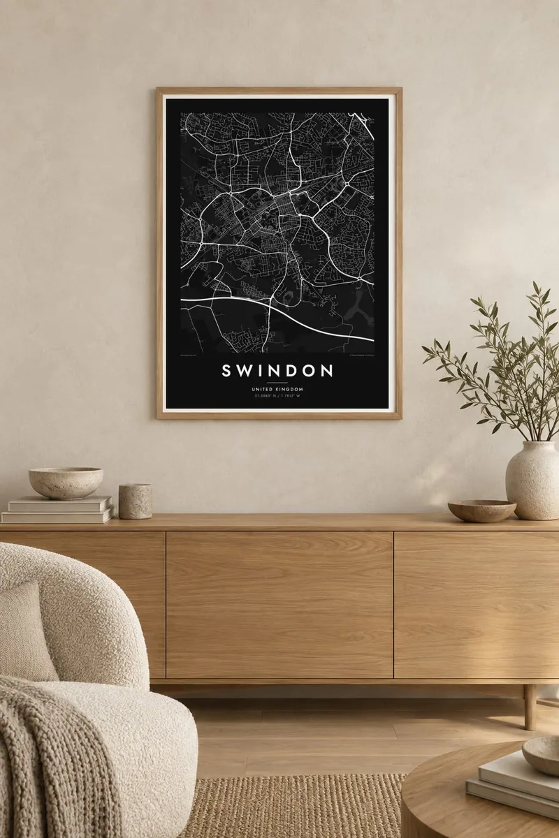
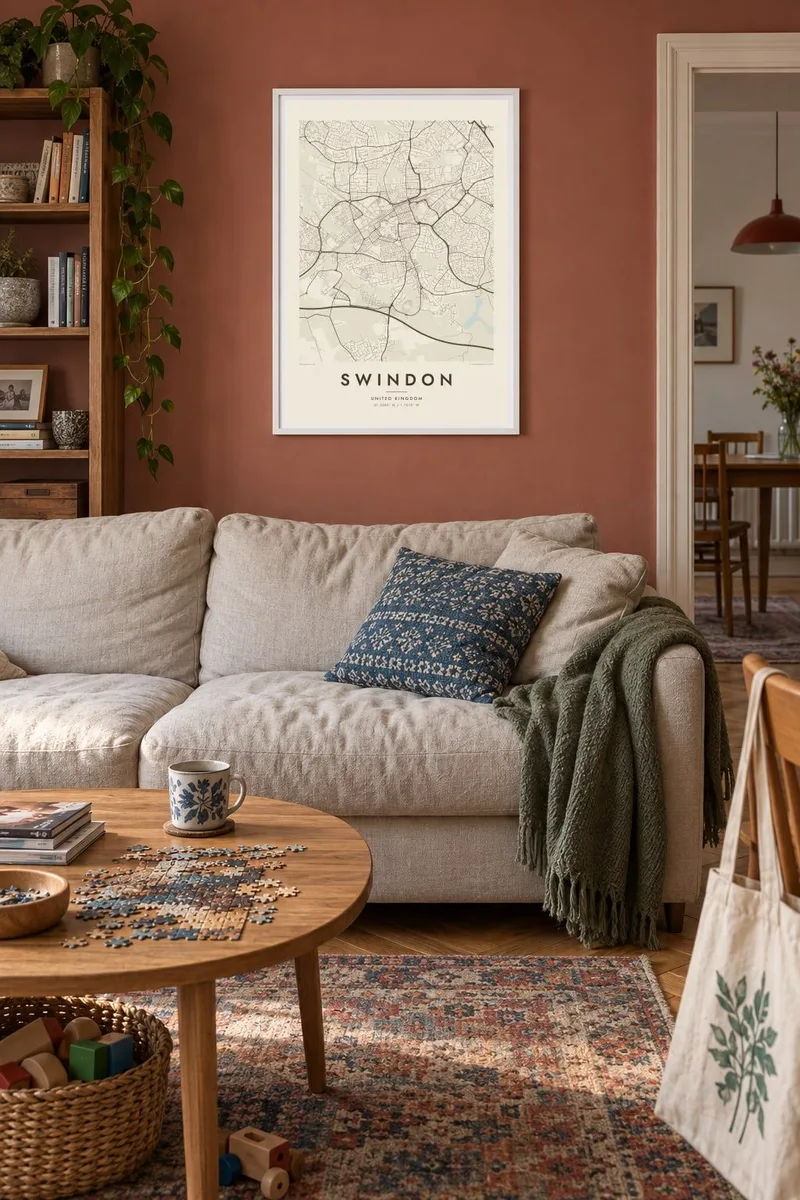
The map
Swindon grew in two halves. The old market town stood on a hill to the south. In the 1840s, the Great Western Railway built its works and a planned village on lower ground to the north. On a map the difference is still clear: an older, irregular core on the hill and a more regular grid of terraced streets near the railway line.
The railway works once employed thousands of people. Their former site now holds a designer outlet and the STEAM museum, which is dedicated to the Great Western Railway. The tracks run east to west through the town as a strong horizontal band across the map. Near the station, the railway village of stone cottages is one of the best-preserved examples of its kind.
Swindon is also famous for the Magic Roundabout, a junction of five mini roundabouts arranged around a central one. Beyond the centre, ring roads, housing estates and business parks spread out toward the M4 motorway to the south. A Swindon map poster shows the whole town, from the railway core to the planned suburbs of the twentieth century.
The famous junction appears as a tight cluster of small circles around a central island, one of the most recognisable road layouts in Britain.
The Great Western main line crosses the town from east to west, with the former works and the railway village gathered alongside it near the centre.
South of the railway, the older market town sits on higher ground, and its streets are less regular than the Victorian terraces below.
Make it yours
Add a date, a name or a line of your own, switch style, size or orientation.
The free preview is low-resolution with a watermark. Prints and HD files are rendered at 300 DPI, up to 7,200 × 10,800 px, without a watermark.
Why Swindon
For many people who moved for work, Swindon was a first home, and many local families trace their roots to the railway works. A map of the town is a practical, understated way to mark where a working life or a family story began.
Change the title, add a subtitle with a street name or a date, and edit the coordinates line. Choose from Classic black and white, Noir, Paper, Blueprint or Sand. Download the HD files for $9 in six print sizes up to A2 and 24×36″, or order a printed poster.
Order the Swindon poster| Print size | Resolution | Files |
|---|---|---|
| 30 × 40 cm11.8 × 15.7″ | 3,543 × 4,724 px | PNG · PDF |
| 29.7 × 42 cm (A3)11.7 × 16.5″ | 3,508 × 4,961 px | PNG · PDF |
| 42 × 59.4 cm (A2)16.5 × 23.4″ | 4,961 × 7,016 px | PNG · PDF |
| 45.7 × 61 cm18 × 24″ | 5,400 × 7,200 px | PNG · PDF |
| 50 × 70 cm19.7 × 27.6″ | 5,906 × 8,268 px | PNG · PDF |
| 61 × 91.4 cm24 × 36″ | 7,200 × 10,800 px | PNG · PDF |
For comparison, the free preview is 900 px wide, watermarked and meant for screens. The HD files have up to 8× the resolution in each direction and print cleanly at full poster size.
Pick a style at the top of the page, then choose Printed Poster — a size and, if you like, a frame — or Digital HD Files. Checkout takes one step, and your order page updates as soon as the payment goes through.
It is printed on premium 200 gsm matte paper in one of six sizes, from 30 × 40 cm to 24 × 36″. Printed posters start at $39, shipping included.
Yes. Choose a solid wood frame in black, white, natural oak or dark wood. It comes with shatterproof glazing and is ready to hang. Framed posters start at $99, shipping included.
Shipping is free to 60+ countries. Each poster is printed by the nearest of our print partners in 30+ countries and usually arrives in 3–7 business days. You can follow the status and tracking under My Orders. A few countries take 2–5 weeks, and where we don't ship yet, the site tells you before you pay.
Send us a photo within 14 days of delivery and we will reprint it for free or refund you.
Yes. In the editor on this page, change the title, the subtitle and the coordinates line to anything you like, and pick a style and size. Printed, framed and digital orders all use exactly your design.
For $9 you get 300 DPI PNG and print-ready PDF files in all six sizes, without a watermark, to print anywhere. Not sure yet? Download a free watermarked preview first.
Nearby
