The great breakwaters
Kilometres of sea walls stretch across the bay and enclose the harbour. They give the poster its most distinctive feature, a set of long straight lines floating in open water.
Minimalist map poster · France
49.6398° N / 1.6164° W
A naval port at the tip of the Cotentin, sheltered by vast breakwaters that turn open sea into an enormous harbour.

One city, five moods
Tap a style to see it on the wall. Every style costs the same — printed, framed or as HD files.
 Actual pixels · 24 × 36″ print file
Print-sharp
This is a 100% crop of the real print file. Every poster — printed, framed or downloaded — is rendered on our servers at 300 DPI, up to 7,200 × 10,800 pixels, so even the smallest lanes stay crisp on a 24 × 36″ print.
On the wall

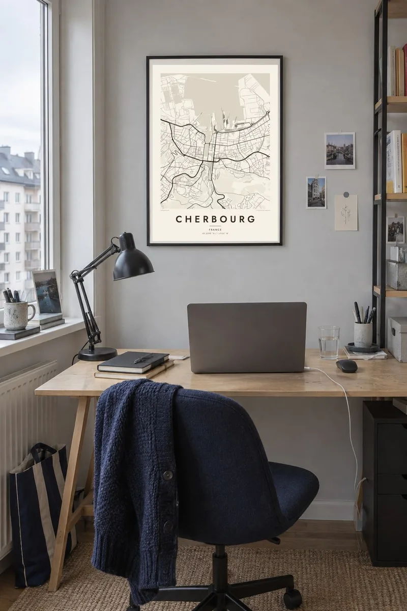
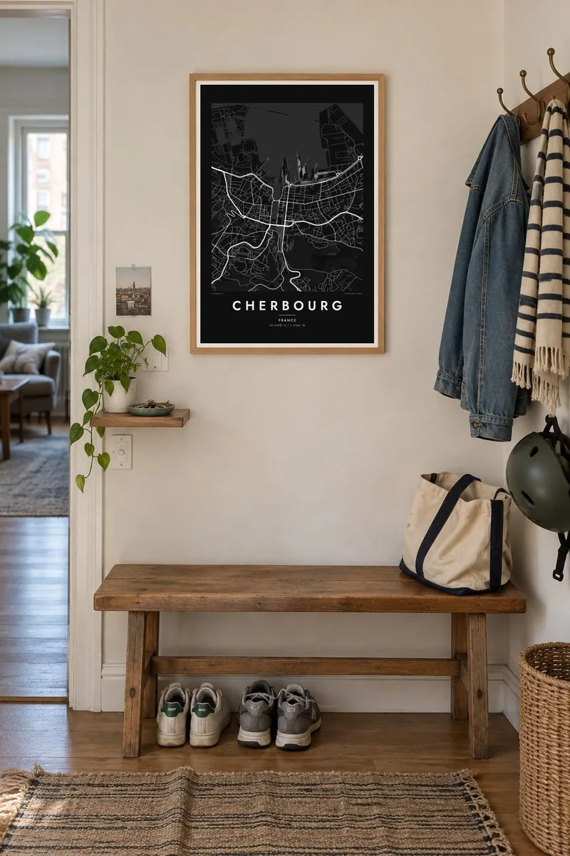
The map
Cherbourg sits at the northern tip of the Cotentin peninsula in Normandy, facing the English Channel. The harbour dominates its map. Long stone breakwaters built across the bay enclose one of the largest artificial harbours in the world, and inner basins, docks and quays cut deep into the town. Since 2016 Cherbourg has been part of the merged commune of Cherbourg-en-Cotentin.
Behind the port, the old streets are packed onto low ground, and the steep Montagne du Roule rises to the east with a fort on top that overlooks the whole harbour. Cherbourg's links to the sea run deep. The Titanic called here on its maiden voyage in 1912, and the former transatlantic terminal now houses the Cité de la Mer museum.
The town is also known far beyond France through The Umbrellas of Cherbourg, Jacques Demy's 1964 musical. A Cherbourg map poster, though, is about the shape of the place itself: breakwaters drawn like pencil lines across the sea, the angular basins of the harbour and the dense town gathered around them.
Kilometres of sea walls stretch across the bay and enclose the harbour. They give the poster its most distinctive feature, a set of long straight lines floating in open water.
Docks and basins reach into the centre of town, creating rectangular shapes of water that separate districts and link the harbour directly to the streets.
A steep hill rises on the eastern side of town, topped by Fort du Roule. There the street pattern thins out and bends around the slope.
Make it yours
Add a date, a name or a line of your own, switch style, size or orientation.
The free preview is low-resolution with a watermark. Prints and HD files are rendered at 300 DPI, up to 7,200 × 10,800 px, without a watermark.
Why Cherbourg
Cherbourg suits anyone with a connection to the sea, the navy, the ferries to England and Ireland, or the Second World War history of the Cotentin. The breakwaters make it one of the most graphic harbour maps in France, clear even from across a room.
Change the title, add a subtitle with a date or a name, and adjust the coordinates line. Choose from five styles, including Blueprint for a nautical look, then download HD files in six sizes or order a matte print with an optional wooden frame.
Order the Cherbourg poster| Print size | Resolution | Files |
|---|---|---|
| 30 × 40 cm11.8 × 15.7″ | 3,543 × 4,724 px | PNG · PDF |
| 29.7 × 42 cm (A3)11.7 × 16.5″ | 3,508 × 4,961 px | PNG · PDF |
| 42 × 59.4 cm (A2)16.5 × 23.4″ | 4,961 × 7,016 px | PNG · PDF |
| 45.7 × 61 cm18 × 24″ | 5,400 × 7,200 px | PNG · PDF |
| 50 × 70 cm19.7 × 27.6″ | 5,906 × 8,268 px | PNG · PDF |
| 61 × 91.4 cm24 × 36″ | 7,200 × 10,800 px | PNG · PDF |
For comparison, the free preview is 900 px wide, watermarked and meant for screens. The HD files have up to 8× the resolution in each direction and print cleanly at full poster size.
Pick a style at the top of the page, then choose Printed Poster — a size and, if you like, a frame — or Digital HD Files. Checkout takes one step, and your order page updates as soon as the payment goes through.
It is printed on premium 200 gsm matte paper in one of six sizes, from 30 × 40 cm to 24 × 36″. Printed posters start at $39, shipping included.
Yes. Choose a solid wood frame in black, white, natural oak or dark wood. It comes with shatterproof glazing and is ready to hang. Framed posters start at $99, shipping included.
Shipping is free to 60+ countries. Each poster is printed by the nearest of our print partners in 30+ countries and usually arrives in 3–7 business days. You can follow the status and tracking under My Orders. A few countries take 2–5 weeks, and where we don't ship yet, the site tells you before you pay.
Send us a photo within 14 days of delivery and we will reprint it for free or refund you.
Yes. In the editor on this page, change the title, the subtitle and the coordinates line to anything you like, and pick a style and size. Printed, framed and digital orders all use exactly your design.
For $9 you get 300 DPI PNG and print-ready PDF files in all six sizes, without a watermark, to print anywhere. Not sure yet? Download a free watermarked preview first.
Nearby
