Ancestral Temple
The Zumiao temple complex in Chancheng, with its courtyards and ceremonial halls. It sits within a compact grid of older streets, a quieter pocket inside the wider city.
Minimalist map poster · China
A river-laced city beside Guangzhou, where delta channels thread between old temple streets, ceramics quarters and dense new grids.
23.0268° N / 113.1315° E
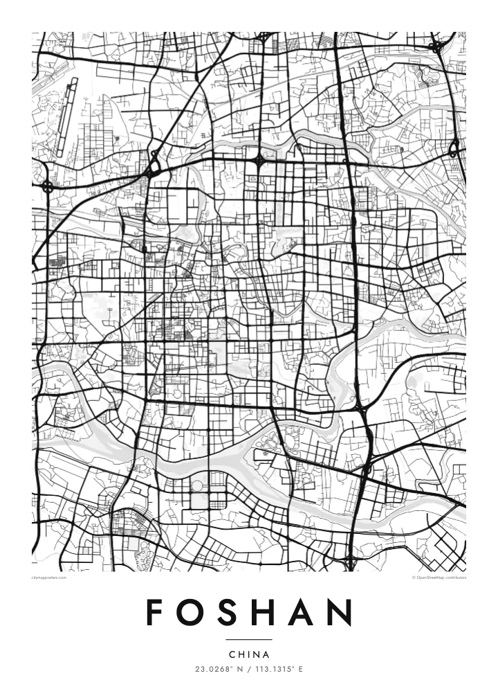
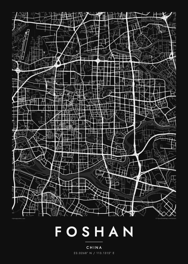
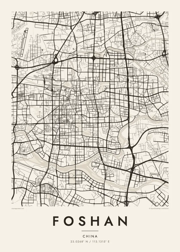

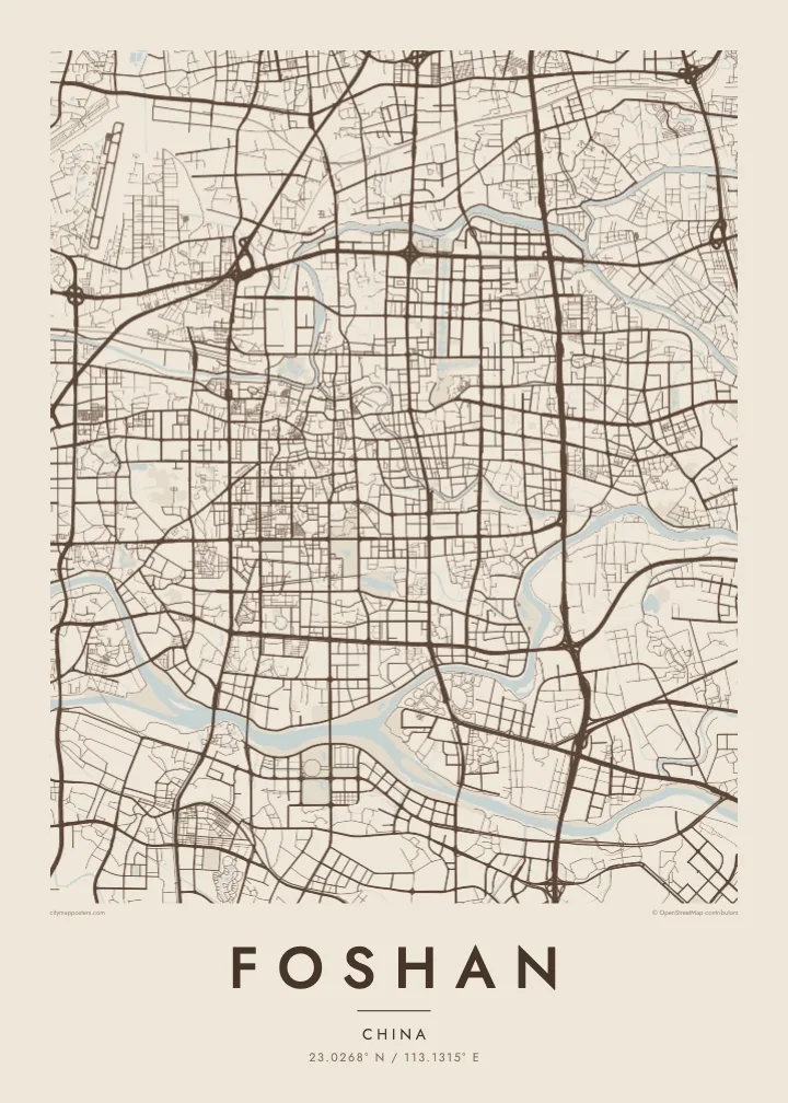
One city, five moods
Tap a style to see it on the wall. Every style is included in the same $9 price.
 Actual pixels · 24 × 36″ HD file
Print-sharp
This is a crop of the real HD file at 100%. The paid download is rendered on our servers at 300 DPI, up to 7,200 × 10,800 pixels, so even the smallest lanes stay crisp on a 24 × 36″ print.
The map
Foshan lies immediately west and southwest of Guangzhou in the Pearl River Delta, and on the map the two cities run into each other with no visible break. The land is laced with water: branches of the Xi and Bei rivers, smaller channels and fish ponds break the street pattern into islands and peninsulas, especially in the southern districts toward Shunde.
The old centre of Chancheng is organised around the Foshan Ancestral Temple, a Taoist temple complex first built in the Song dynasty and rebuilt many times since. Nearby, the Shiwan area has made ceramics for centuries. The city is also closely linked with martial arts; Wong Fei-hung and Ip Man were both born here, and a Foshan map poster covers the ground where both grew up.
Foshan's urban area is in fact several districts joined together, Chancheng, Nanhai, Shunde and others, each with its own centre. The Guangfo metro line, opened in 2010, was one of the first in China to link two cities directly. From above, the effect is a continuous, dense fabric divided mainly by water, which suits a monochrome print particularly well.
The Zumiao temple complex in Chancheng, with its courtyards and ceremonial halls. It sits within a compact grid of older streets, a quieter pocket inside the wider city.
River branches and man-made channels split the southern districts into separate pieces, and many small ponds survive between buildings, creating a fragmented, island-like pattern across the lower part of the map.
Foshan's eastern side meets Guangzhou without a visible boundary. A wider frame shows the two cities merging, joined by bridges, rail lines and continuous streets.
Make it yours
Add a date, a name or a line of your own, switch style, size or orientation.
Free preview is low-resolution with a watermark. The HD version is 7,200 × 10,800 px, 300 DPI, no watermark.
Why Foshan
Foshan is known for its food, its kung fu schools and its craftsmanship, and many people from Shunde or Nanhai keep a strong sense of home. A map of the city shows where that sense comes from: water, old temples and close streets.
Personalise the title with your district, a family name or a date, and pick one of five styles. Paper suits the ceramic and craft associations; Noir gives the channels a dark, graphic weight. Download HD files in six sizes, or order a framed print.
Get the Foshan poster — $9| Print size | Resolution | Files |
|---|---|---|
| 30 × 40 cm | 3,543 × 4,724 px | PNG · PDF |
| 50 × 70 cm | 5,906 × 8,268 px | PNG · PDF |
| A3 · 29.7 × 42 cm | 3,508 × 4,961 px | PNG · PDF |
| A2 · 42 × 59.4 cm | 4,961 × 7,016 px | PNG · PDF |
| 18 × 24" | 5,400 × 7,200 px | PNG · PDF |
| 24 × 36" | 7,200 × 10,800 px | PNG · PDF |
For comparison, the free preview is 900 px wide, watermarked and meant for screens. The HD files have up to 8× the resolution in each direction and print cleanly at full poster size.
Yes. Drag and zoom the map in the editor — centre it on your neighbourhood, the old town or the whole metro area. The text updates independently.
The HD purchase includes 30×40 cm, 50×70 cm, A3, A2, 18×24″ and 24×36″, each as a 300 DPI PNG and a print-ready PDF.
You can download a free 900 px preview with a watermark. The paid HD files have no watermark and are sharp enough for large prints.
Send the PDF to any local print shop or online printing service and ask for the matching paper size. Matte paper and a thin black or oak frame suit this style best.
Nearby
