Radial town plan
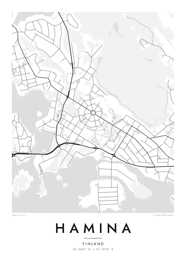
Streets fan out from the central square and are crossed by ring streets, producing an octagonal pattern that is one of the clearest planned layouts in the Nordic countries.
Minimalist map poster · Finland
60.5697° N / 27.1979° E
A rare octagonal town plan, streets radiating from a central square like spokes, set against the inlets of the Gulf of Finland.
One city, five moods
Tap a style to see it on the wall. Every style costs the same — printed, framed or as HD files.
 Actual pixels · 24 × 36″ print file
Print-sharp
This is a 100% crop of the real print file. Every poster — printed, framed or downloaded — is rendered on our servers at 300 DPI, up to 7,200 × 10,800 pixels, so even the smallest lanes stay crisp on a 24 × 36″ print.
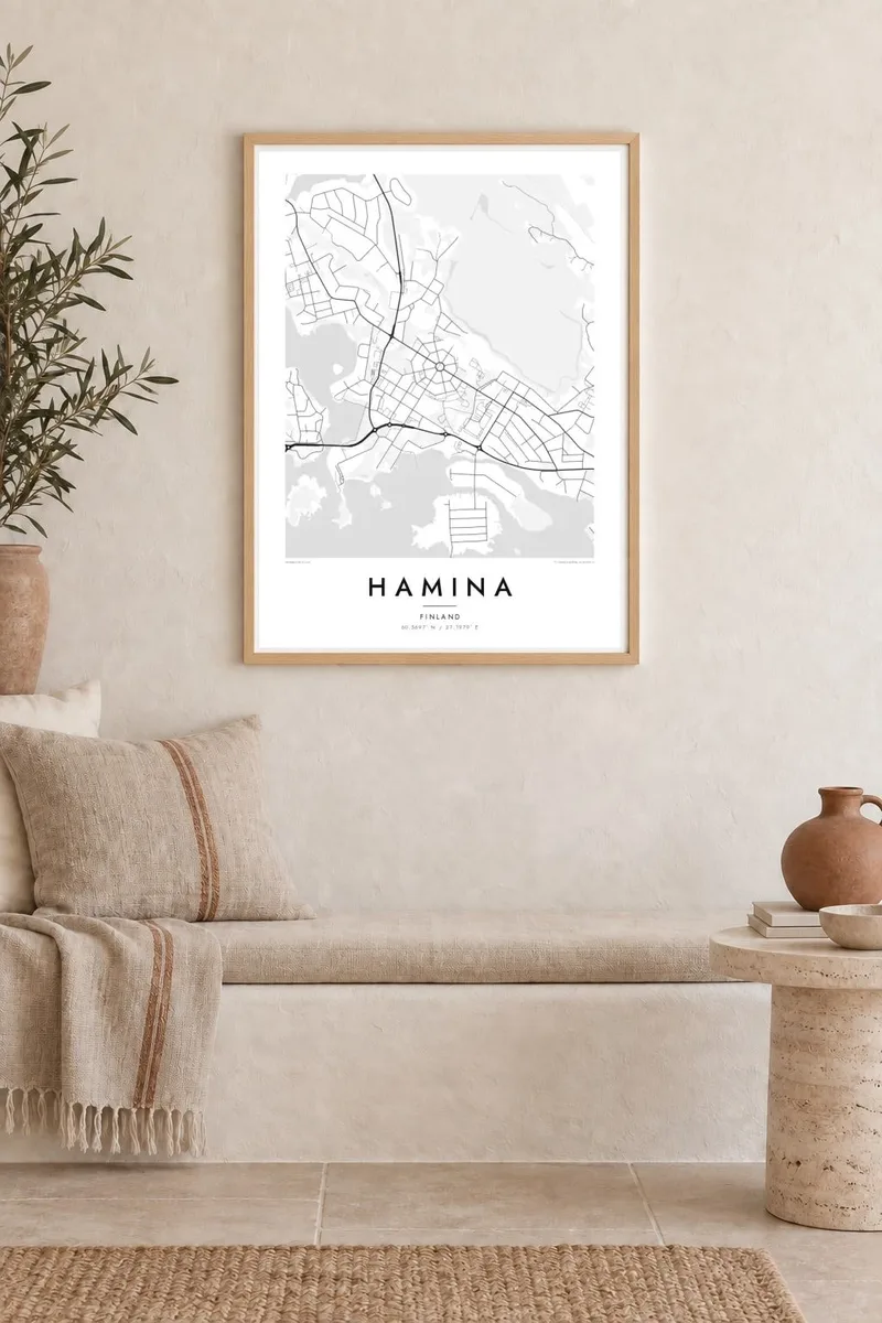
On the wall


The map
Hamina sits on the Gulf of Finland in Kymenlaakso, close to the Russian border, and few towns anywhere look so deliberate from above. Its old centre was laid out in the eighteenth century as a fortress town, with streets running outward from a central square and ring streets circling them inside star-shaped bastions. On a map the pattern reads almost like a diagram, a wheel pressed into the landscape.
Beyond the historic core the geometry loosens. Residential streets spread across low ground, bays and inlets cut into the shoreline, and small islands scatter toward open water. To the south the port area, run jointly with neighbouring Kotka, adds wide quays and rail sidings. That is a different kind of order from the radial plan: straight and industrial where the old town is circular and ceremonial.
The town is also known for the Hamina Tattoo, an international military music festival held in the fortress setting, and for the Reserve Officer School based here. A Hamina map poster captures that centre without any need for labels. The ring of streets and the bastion outline are recognisable at a glance, and they hold up well at every print size, from A3 to 24×36″.
Streets fan out from the central square and are crossed by ring streets, producing an octagonal pattern that is one of the clearest planned layouts in the Nordic countries.
Remains of the star-shaped fortifications trace angular earthworks around the old centre, giving the map a sharp, geometric border between the historic town and later districts.
South of the centre, bays, peninsulas and small islands break the Gulf of Finland shoreline into irregular fingers of land and water, a loose counterpoint to the strict radial core.
Make it yours
Add a date, a name or a line of your own, switch style, size or orientation.
The free preview is low-resolution with a watermark. Prints and HD files are rendered at 300 DPI, up to 7,200 × 10,800 px, without a watermark.
Why Hamina
Hamina suits anyone who grew up inside its ring of streets, served at the officer school or spent summers on this stretch of coast. The plan is so distinctive that it works as a piece of graphic design in its own right, even for people who have never visited.
You can set your own title, subtitle and coordinates line, adding a family name or a meaningful date, and choose from five styles: Classic black & white, Noir, Paper, Blueprint or Sand. Blueprint in particular suits a town that was drawn with ruler and compass.
Order the Hamina poster| Print size | Resolution | Files |
|---|---|---|
| 30 × 40 cm11.8 × 15.7″ | 3,543 × 4,724 px | PNG · PDF |
| 29.7 × 42 cm (A3)11.7 × 16.5″ | 3,508 × 4,961 px | PNG · PDF |
| 42 × 59.4 cm (A2)16.5 × 23.4″ | 4,961 × 7,016 px | PNG · PDF |
| 45.7 × 61 cm18 × 24″ | 5,400 × 7,200 px | PNG · PDF |
| 50 × 70 cm19.7 × 27.6″ | 5,906 × 8,268 px | PNG · PDF |
| 61 × 91.4 cm24 × 36″ | 7,200 × 10,800 px | PNG · PDF |
For comparison, the free preview is 900 px wide, watermarked and meant for screens. The HD files have up to 8× the resolution in each direction and print cleanly at full poster size.
Pick a style at the top of the page, then choose Printed Poster — a size and, if you like, a frame — or Digital HD Files. Checkout takes one step, and your order page updates as soon as the payment goes through.
It is printed on premium 200 gsm matte paper in one of six sizes, from 30 × 40 cm to 24 × 36″. Printed posters start at $39, shipping included.
Yes. Choose a solid wood frame in black, white, natural oak or dark wood. It comes with shatterproof glazing and is ready to hang. Framed posters start at $99, shipping included.
Shipping is free to 60+ countries. Each poster is printed by the nearest of our print partners in 30+ countries and usually arrives in 3–7 business days. You can follow the status and tracking under My Orders. A few countries take 2–5 weeks, and where we don't ship yet, the site tells you before you pay.
Send us a photo within 14 days of delivery and we will reprint it for free or refund you.
Yes. In the editor on this page, change the title, the subtitle and the coordinates line to anything you like, and pick a style and size. Printed, framed and digital orders all use exactly your design.
For $9 you get 300 DPI PNG and print-ready PDF files in all six sizes, without a watermark, to print anywhere. Not sure yet? Download a free watermarked preview first.
Nearby
