Sakurajima
The volcanic island sits in the bay directly opposite the city, its almost circular outline one of the most recognisable shapes on any Japanese city map.
Minimalist map poster · Japan
31.5667° N / 130.5500° E
A harbour city on Kinkō Bay, facing the smoking cone of Sakurajima across a few kilometres of open water

One city, five moods
Tap a style to see it on the wall. Every style costs the same — printed, framed or as HD files.
 Actual pixels · 24 × 36″ print file
Print-sharp
This is a 100% crop of the real print file. Every poster — printed, framed or downloaded — is rendered on our servers at 300 DPI, up to 7,200 × 10,800 pixels, so even the smallest lanes stay crisp on a 24 × 36″ print.
On the wall

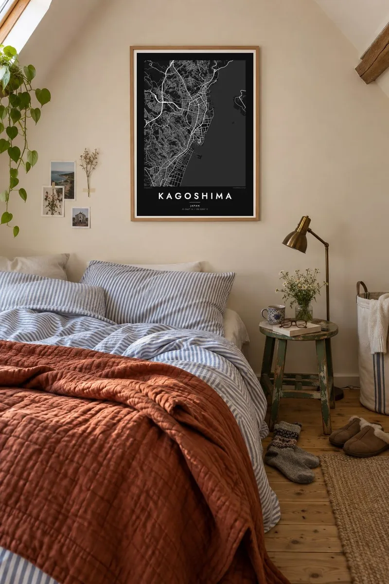
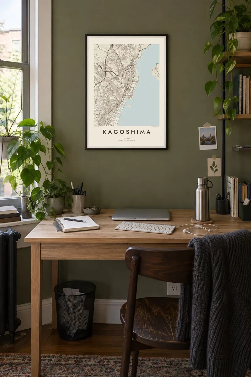
The map
Kagoshima lines the western shore of Kinkō Bay at the southern end of Kyushu, and its map is defined by water and one mountain. The city's streets run along a narrow coastal plain between the bay and a line of hills. Across the water lies Sakurajima, one of Japan's most active volcanoes, a near-circular island joined to the mainland on its eastern side by an old lava flow.
This was the seat of the Satsuma domain, which played a leading role in the Meiji Restoration. Shiroyama, the wooded hill above the centre, is where Saigō Takamori made his last stand in 1877. On the coast north of the centre lies Sengan-en, the Shimazu family garden that uses Sakurajima as borrowed scenery.
A Kagoshima map poster sets the city's dense blocks, tram lines and harbour against the round shape of the volcano and the wide sweep of the bay. The Kōtsuki River cuts through the centre on its way to the sea. Few cities offer such a strong natural counterpart on the same sheet, and the balance between them shapes the whole composition.
The volcanic island sits in the bay directly opposite the city, its almost circular outline one of the most recognisable shapes on any Japanese city map.
A wooded hill rises just behind the downtown streets, a green shape above the grid and the site of the final battle of the Satsuma Rebellion.
The river runs through the city centre to Kinkō Bay, crossed by a series of bridges that link the older districts with the southern parts of the city.
Make it yours
Add a date, a name or a line of your own, switch style, size or orientation.
The free preview is low-resolution with a watermark. Prints and HD files are rendered at 300 DPI, up to 7,200 × 10,800 px, without a watermark.
Why Kagoshima
Anyone who has seen Sakurajima from the ferry or the waterfront remembers how close the volcano feels. A map of Kagoshima keeps that view in graphic form, the city and the mountain facing each other across the bay.
Add a title, a subtitle with the date of your trip and a coordinates line for a favourite spot. The poster comes in five styles, Classic black & white, Noir, Paper, Blueprint and Sand, each giving the bay and the island a different weight.
Order the Kagoshima poster| Print size | Resolution | Files |
|---|---|---|
| 30 × 40 cm11.8 × 15.7″ | 3,543 × 4,724 px | PNG · PDF |
| 29.7 × 42 cm (A3)11.7 × 16.5″ | 3,508 × 4,961 px | PNG · PDF |
| 42 × 59.4 cm (A2)16.5 × 23.4″ | 4,961 × 7,016 px | PNG · PDF |
| 45.7 × 61 cm18 × 24″ | 5,400 × 7,200 px | PNG · PDF |
| 50 × 70 cm19.7 × 27.6″ | 5,906 × 8,268 px | PNG · PDF |
| 61 × 91.4 cm24 × 36″ | 7,200 × 10,800 px | PNG · PDF |
For comparison, the free preview is 900 px wide, watermarked and meant for screens. The HD files have up to 8× the resolution in each direction and print cleanly at full poster size.
Pick a style at the top of the page, then choose Printed Poster — a size and, if you like, a frame — or Digital HD Files. Checkout takes one step, and your order page updates as soon as the payment goes through.
It is printed on premium 200 gsm matte paper in one of six sizes, from 30 × 40 cm to 24 × 36″. Printed posters start at $39, shipping included.
Yes. Choose a solid wood frame in black, white, natural oak or dark wood. It comes with shatterproof glazing and is ready to hang. Framed posters start at $99, shipping included.
Shipping is free to 60+ countries. Each poster is printed by the nearest of our print partners in 30+ countries and usually arrives in 3–7 business days. You can follow the status and tracking under My Orders. A few countries take 2–5 weeks, and where we don't ship yet, the site tells you before you pay.
Send us a photo within 14 days of delivery and we will reprint it for free or refund you.
Yes. In the editor on this page, change the title, the subtitle and the coordinates line to anything you like, and pick a style and size. Printed, framed and digital orders all use exactly your design.
For $9 you get 300 DPI PNG and print-ready PDF files in all six sizes, without a watermark, to print anywhere. Not sure yet? Download a free watermarked preview first.
Nearby
