Valley setting
The city fills a basin between surrounding ridges, and the empty space of the hills on nearly every side frames the street pattern like a natural border.
Minimalist map poster · Pakistan
33.5820° N / 71.4493° E
A frontier city in a hill-ringed valley, with a dense old town, a cantonment grid and roads threading out through passes.

One city, five moods
Tap a style to see it on the wall. Every style costs the same — printed, framed or as HD files.
 Actual pixels · 24 × 36″ print file
Print-sharp
This is a 100% crop of the real print file. Every poster — printed, framed or downloaded — is rendered on our servers at 300 DPI, up to 7,200 × 10,800 pixels, so even the smallest lanes stay crisp on a 24 × 36″ print.
On the wall

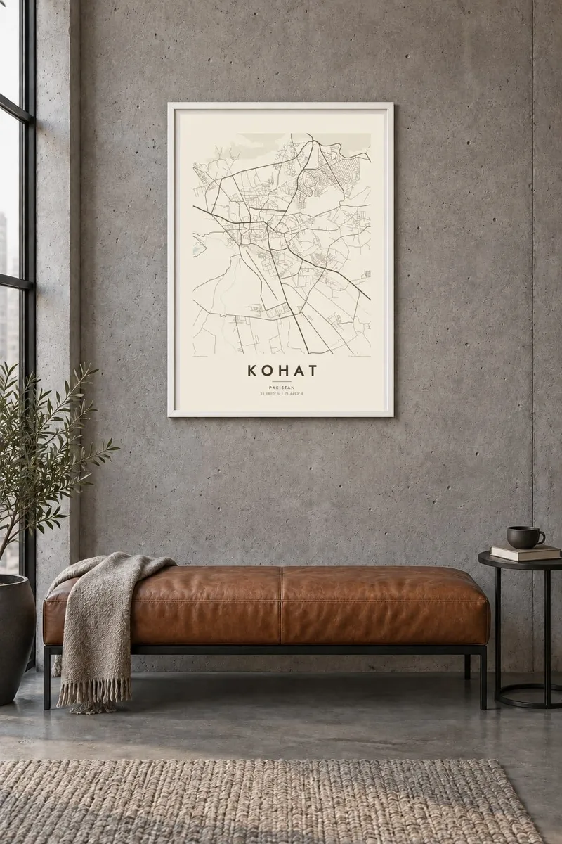
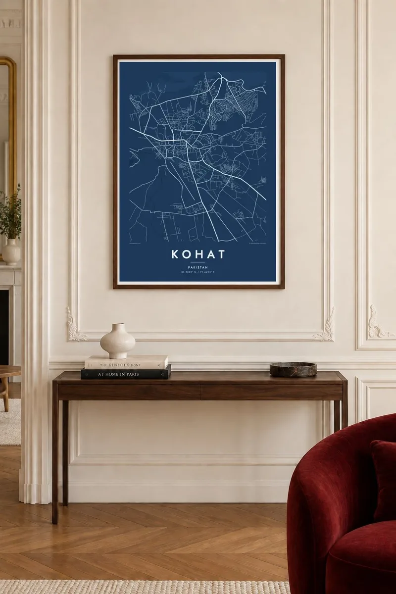
The map
Kohat sits in a valley in Khyber Pakhtunkhwa, south of Peshawar, surrounded by ridges that close in on most sides. On a map the hills appear as a blank ring around the urban area, and the city spreads across the flatter valley floor between them. Seasonal streams cross the land in shallow beds, and the main roads leave the valley through gaps in the hills, giving the plan a clear sense of enclosure.
The layout has two distinct characters. The older city has irregular, closely packed streets and bazaars, while the cantonment built during the colonial period follows a more open arrangement of wide roads, straight avenues and larger plots. Seen together, the dense core and the orderly cantonment create a strong contrast in line weight, which is exactly what a black-and-white print picks up well.
Kohat is known for the Kohat Pass on the route to Peshawar, and for the road tunnel later cut through the hills there, which shortened a difficult mountain journey. The city has long served as a military and administrative centre for its district. A Kohat map poster keeps the focus on the valley itself: the compact streets, the cantonment grid and the hills that define its edges.
The city fills a basin between surrounding ridges, and the empty space of the hills on nearly every side frames the street pattern like a natural border.
Tight irregular lanes in the old centre sit beside the broader, straighter roads of the cantonment, two street patterns that give the map its internal contrast.
The main road north towards Peshawar climbs out of the valley towards the Kohat Pass, a line on the map that marks the city's historic role as a crossing point.
Make it yours
Add a date, a name or a line of your own, switch style, size or orientation.
The free preview is low-resolution with a watermark. Prints and HD files are rendered at 300 DPI, up to 7,200 × 10,800 px, without a watermark.
Why Kohat
Kohat is a place many people have lived in for a posting, studied in or left behind for work elsewhere. A clean map of its valley is a way to keep that connection visible without turning it into a souvenir.
The title, subtitle and coordinates line can all be set to your own words, including a year or a family name. Choose Classic black & white, Noir, Paper, Blueprint or Sand; Blueprint suits the cantonment geometry, while Paper feels warmer and softer.
Order the Kohat poster| Print size | Resolution | Files |
|---|---|---|
| 30 × 40 cm11.8 × 15.7″ | 3,543 × 4,724 px | PNG · PDF |
| 29.7 × 42 cm (A3)11.7 × 16.5″ | 3,508 × 4,961 px | PNG · PDF |
| 42 × 59.4 cm (A2)16.5 × 23.4″ | 4,961 × 7,016 px | PNG · PDF |
| 45.7 × 61 cm18 × 24″ | 5,400 × 7,200 px | PNG · PDF |
| 50 × 70 cm19.7 × 27.6″ | 5,906 × 8,268 px | PNG · PDF |
| 61 × 91.4 cm24 × 36″ | 7,200 × 10,800 px | PNG · PDF |
For comparison, the free preview is 900 px wide, watermarked and meant for screens. The HD files have up to 8× the resolution in each direction and print cleanly at full poster size.
Pick a style at the top of the page, then choose Printed Poster — a size and, if you like, a frame — or Digital HD Files. Checkout takes one step, and your order page updates as soon as the payment goes through.
It is printed on premium 200 gsm matte paper in one of six sizes, from 30 × 40 cm to 24 × 36″. Printed posters start at $39, shipping included.
Yes. Choose a solid wood frame in black, white, natural oak or dark wood. It comes with shatterproof glazing and is ready to hang. Framed posters start at $99, shipping included.
Shipping is free to 60+ countries. Each poster is printed by the nearest of our print partners in 30+ countries and usually arrives in 3–7 business days. You can follow the status and tracking under My Orders. A few countries take 2–5 weeks, and where we don't ship yet, the site tells you before you pay.
Send us a photo within 14 days of delivery and we will reprint it for free or refund you.
Yes. In the editor on this page, change the title, the subtitle and the coordinates line to anything you like, and pick a style and size. Printed, framed and digital orders all use exactly your design.
For $9 you get 300 DPI PNG and print-ready PDF files in all six sizes, without a watermark, to print anywhere. Not sure yet? Download a free watermarked preview first.
Nearby
