Triple frontier
Colombia, Brazil and Peru meet at Leticia. The urban grid continues into Tabatinga without interruption, so the international border is almost invisible in the street pattern.
Minimalist map poster · Colombia
4.2108° S / 69.9394° W
A river port on the Amazon where Colombia, Brazil and Peru meet, its streets running straight into Tabatinga

One city, five moods
Tap a style to see it on the wall. Every style costs the same — printed, framed or as HD files.
 Actual pixels · 24 × 36″ print file
Print-sharp
This is a 100% crop of the real print file. Every poster — printed, framed or downloaded — is rendered on our servers at 300 DPI, up to 7,200 × 10,800 pixels, so even the smallest lanes stay crisp on a 24 × 36″ print.
On the wall

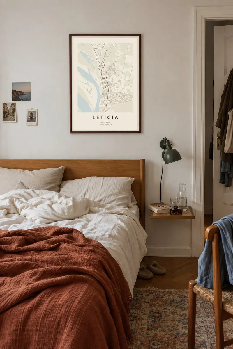
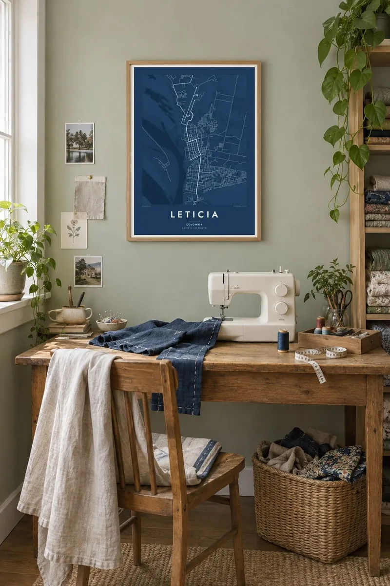
The map
Leticia is the capital of Colombia's Amazonas department and sits on the northern bank of the Amazon River at the point where Colombia, Brazil and Peru meet. From above, its grid of streets runs directly into the Brazilian town of Tabatinga with no natural barrier between them. Across the water lie river islands and the Peruvian settlement of Santa Rosa.
The city has no road connection to the rest of Colombia, so people and goods arrive by air or by river. Founded under Peruvian rule in 1867, Leticia passed to Colombia under a 1922 treaty, and a brief conflict between the two countries in 1932 and 1933 settled the border. Today it is the main starting point for trips into the surrounding rainforest.
A Leticia map poster is defined by contrast. The regular urban blocks stop abruptly at the forest edge, the Amazon cuts a broad sweep across the frame, and channels and islands add shifting shapes. Few cities show so clearly on a map how a settlement and a great river sit side by side.
Colombia, Brazil and Peru meet at Leticia. The urban grid continues into Tabatinga without interruption, so the international border is almost invisible in the street pattern.
The river runs along the southern side of the city, broad and braided with channels. It takes up a large part of any wider composition and gives the poster its dominant shape.
Long, low islands lie in the river around Leticia, their outlines shaped by sediment and current. They add soft, organic forms opposite the regular city grid.
Make it yours
Add a date, a name or a line of your own, switch style, size or orientation.
The free preview is low-resolution with a watermark. Prints and HD files are rendered at 300 DPI, up to 7,200 × 10,800 px, without a watermark.
Why Leticia
Few people reach Leticia by chance, so a map of it often marks a significant journey: a trip into the Amazon, research fieldwork or years spent living on the frontier. The poster records exactly where the city meets the river and the forest.
Add a title and subtitle of your choice, keep the coordinates line or rewrite it, and pick Classic black & white, Noir, Paper, Blueprint or Sand. Download six HD sizes for $9, or order a matte printed poster with an optional wooden frame.
Order the Leticia poster| Print size | Resolution | Files |
|---|---|---|
| 30 × 40 cm11.8 × 15.7″ | 3,543 × 4,724 px | PNG · PDF |
| 29.7 × 42 cm (A3)11.7 × 16.5″ | 3,508 × 4,961 px | PNG · PDF |
| 42 × 59.4 cm (A2)16.5 × 23.4″ | 4,961 × 7,016 px | PNG · PDF |
| 45.7 × 61 cm18 × 24″ | 5,400 × 7,200 px | PNG · PDF |
| 50 × 70 cm19.7 × 27.6″ | 5,906 × 8,268 px | PNG · PDF |
| 61 × 91.4 cm24 × 36″ | 7,200 × 10,800 px | PNG · PDF |
For comparison, the free preview is 900 px wide, watermarked and meant for screens. The HD files have up to 8× the resolution in each direction and print cleanly at full poster size.
Pick a style at the top of the page, then choose Printed Poster — a size and, if you like, a frame — or Digital HD Files. Checkout takes one step, and your order page updates as soon as the payment goes through.
It is printed on premium 200 gsm matte paper in one of six sizes, from 30 × 40 cm to 24 × 36″. Printed posters start at $39, shipping included.
Yes. Choose a solid wood frame in black, white, natural oak or dark wood. It comes with shatterproof glazing and is ready to hang. Framed posters start at $99, shipping included.
Shipping is free to 60+ countries. Each poster is printed by the nearest of our print partners in 30+ countries and usually arrives in 3–7 business days. You can follow the status and tracking under My Orders. A few countries take 2–5 weeks, and where we don't ship yet, the site tells you before you pay.
Send us a photo within 14 days of delivery and we will reprint it for free or refund you.
Yes. In the editor on this page, change the title, the subtitle and the coordinates line to anything you like, and pick a style and size. Printed, framed and digital orders all use exactly your design.
For $9 you get 300 DPI PNG and print-ready PDF files in all six sizes, without a watermark, to print anywhere. Not sure yet? Download a free watermarked preview first.
Nearby
