The town grid
Straight, broad streets laid out in the early twentieth century give central Livingstone a regular, open pattern that reads easily and calmly in black and white.
Minimalist map poster · Zambia
17.8419° S / 25.8543° E
A colonial-era grid on the plateau above the Zambezi, a short road away from the gorges and spray of Victoria Falls.

One city, five moods
Tap a style to see it on the wall. Every style costs the same — printed, framed or as HD files.
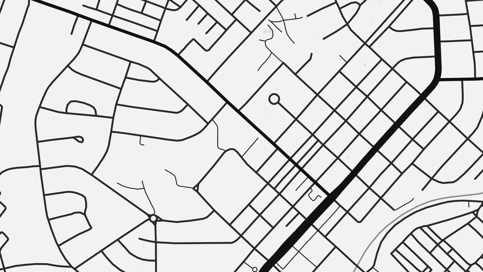 Actual pixels · 24 × 36″ print file
Print-sharp
This is a 100% crop of the real print file. Every poster — printed, framed or downloaded — is rendered on our servers at 300 DPI, up to 7,200 × 10,800 pixels, so even the smallest lanes stay crisp on a 24 × 36″ print.
On the wall


The map
Livingstone lies in southern Zambia, roughly ten kilometres from the Zambezi River and Victoria Falls, known locally as Mosi-oa-Tunya, the smoke that thunders. The town itself is laid out on a straightforward grid of wide streets, with a long main road running through the centre and the road south leading directly to the river, the national park and the falls.
Named after the Scottish explorer David Livingstone, the town served as the capital of Northern Rhodesia until 1935, when the administration moved to Lusaka. Its broad avenues and older colonial buildings date from that period. To the south, the river breaks into islands and channels before plunging into a zigzag of narrow basalt gorges crossed by the Victoria Falls Bridge.
A Livingstone map poster can hold the town and its landscape in one frame: the orderly street grid, the road to the river, the wide Zambezi scattered with islands above the falls, and the sharp line of gorges below them. Few places pair such a plain urban plan with one of the most dramatic natural features on the continent.
Straight, broad streets laid out in the early twentieth century give central Livingstone a regular, open pattern that reads easily and calmly in black and white.
Above the falls the river is wide and slow, broken by islands and sandbars, a soft, irregular shape that contrasts with the rigid lines of the town.
Below the falls the Zambezi runs through a series of zigzag gorges. The Victoria Falls Bridge, opened in 1905, spans one of them and links Zambia with Zimbabwe.
Make it yours
Add a date, a name or a line of your own, switch style, size or orientation.
The free preview is low-resolution with a watermark. Prints and HD files are rendered at 300 DPI, up to 7,200 × 10,800 px, without a watermark.
Why Livingstone
For many travellers Livingstone is the base for seeing Victoria Falls, rafting the gorges or setting out on safari, and a map of the town and river holds the whole trip in one image. For those who grew up here, it is home beside a world-famous landscape.
The title, subtitle and coordinates line are yours to change, for instance to the date of a visit. Choose Classic black & white, Noir, Paper, Blueprint or Sand, and download high-resolution PNG and PDF files or order a matte print, with an optional wooden frame.
Order the Livingstone poster| Print size | Resolution | Files |
|---|---|---|
| 30 × 40 cm11.8 × 15.7″ | 3,543 × 4,724 px | PNG · PDF |
| 29.7 × 42 cm (A3)11.7 × 16.5″ | 3,508 × 4,961 px | PNG · PDF |
| 42 × 59.4 cm (A2)16.5 × 23.4″ | 4,961 × 7,016 px | PNG · PDF |
| 45.7 × 61 cm18 × 24″ | 5,400 × 7,200 px | PNG · PDF |
| 50 × 70 cm19.7 × 27.6″ | 5,906 × 8,268 px | PNG · PDF |
| 61 × 91.4 cm24 × 36″ | 7,200 × 10,800 px | PNG · PDF |
For comparison, the free preview is 900 px wide, watermarked and meant for screens. The HD files have up to 8× the resolution in each direction and print cleanly at full poster size.
Pick a style at the top of the page, then choose Printed Poster — a size and, if you like, a frame — or Digital HD Files. Checkout takes one step, and your order page updates as soon as the payment goes through.
It is printed on premium 200 gsm matte paper in one of six sizes, from 30 × 40 cm to 24 × 36″. Printed posters start at $39, shipping included.
Yes. Choose a solid wood frame in black, white, natural oak or dark wood. It comes with shatterproof glazing and is ready to hang. Framed posters start at $99, shipping included.
Shipping is free to 60+ countries. Each poster is printed by the nearest of our print partners in 30+ countries and usually arrives in 3–7 business days. You can follow the status and tracking under My Orders. A few countries take 2–5 weeks, and where we don't ship yet, the site tells you before you pay.
Send us a photo within 14 days of delivery and we will reprint it for free or refund you.
Yes. In the editor on this page, change the title, the subtitle and the coordinates line to anything you like, and pick a style and size. Printed, framed and digital orders all use exactly your design.
For $9 you get 300 DPI PNG and print-ready PDF files in all six sizes, without a watermark, to print anywhere. Not sure yet? Download a free watermarked preview first.
Nearby
