Landing Bay
Visitors and the supply ship arrive at a small beach and jetty in the southeast corner. It is the one place where the cliffs give way and a road climbs to the plateau.
Minimalist map poster · United Kingdom
51.1805° N / 4.6669° W
A narrow granite slab in the Bristol Channel, with cliffs on every side and a single track running along its spine.

One city, five moods
Tap a style to see it on the wall. Every style costs the same — printed, framed or as HD files.
 Actual pixels · 24 × 36″ print file
Print-sharp
This is a 100% crop of the real print file. Every poster — printed, framed or downloaded — is rendered on our servers at 300 DPI, up to 7,200 × 10,800 pixels, so even the smallest lanes stay crisp on a 24 × 36″ print.
On the wall
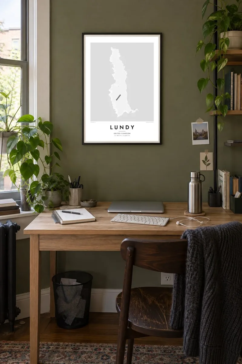


The island
Lundy lies in the Bristol Channel off the north coast of Devon, where the channel opens into the Atlantic. It is a long, thin island, about five kilometres from north to south and roughly a kilometre across, a granite plateau edged almost everywhere by steep cliffs. On a map it looks like a sliver of stone, and a small landing beach at the southeast corner is its one gentle entry point.
Lundy is owned by the National Trust and managed by the Landmark Trust, which looks after its historic buildings as holiday lets. Its name is usually traced to the Norse word for puffin, and puffins still breed on the western cliffs. The surrounding waters became England's first statutory marine nature reserve and later its first Marine Conservation Zone.
Most buildings cluster in the south, around the village with its tavern, church and the Old Light. From there a single track runs north along the plateau, past old field walls, to the lighthouse at the far tip. A Lundy map poster in a tall format suits the island's proportions and leaves the surrounding channel as a wide, calm field.
Visitors and the supply ship arrive at a small beach and jetty in the southeast corner. It is the one place where the cliffs give way and a road climbs to the plateau.
This early nineteenth-century lighthouse near the village was built so high that fog often hid its beam. Two new lights were later placed at the north and south ends.
One main track runs the length of the island, crossing a series of old stone walls. On the map it becomes a single fine line along the plateau.
Make it yours
Add a date, a name or a line of your own, switch style, size or orientation.
The free preview is low-resolution with a watermark. Prints and HD files are rendered at 300 DPI, up to 7,200 × 10,800 px, without a watermark.
Why Lundy
Lundy is the kind of place people return to for decades, staying in the same cottage, counting puffins, diving the marine reserve. Its outline is simple and instantly recognisable to them. A poster is a fine reminder of the boat crossing and of the quiet that follows once the day visitors have left.
Add the dates of a stay or the name of your cottage to the title and subtitle, and keep or rewrite the coordinates line. There are five styles to choose from, from Classic black & white to Sand. Download 300 DPI files in six sizes for $9, or order a ready-printed matte poster.
Order the Lundy poster| Print size | Resolution | Files |
|---|---|---|
| 30 × 40 cm11.8 × 15.7″ | 3,543 × 4,724 px | PNG · PDF |
| 29.7 × 42 cm (A3)11.7 × 16.5″ | 3,508 × 4,961 px | PNG · PDF |
| 42 × 59.4 cm (A2)16.5 × 23.4″ | 4,961 × 7,016 px | PNG · PDF |
| 45.7 × 61 cm18 × 24″ | 5,400 × 7,200 px | PNG · PDF |
| 50 × 70 cm19.7 × 27.6″ | 5,906 × 8,268 px | PNG · PDF |
| 61 × 91.4 cm24 × 36″ | 7,200 × 10,800 px | PNG · PDF |
For comparison, the free preview is 900 px wide, watermarked and meant for screens. The HD files have up to 8× the resolution in each direction and print cleanly at full poster size.
Pick a style at the top of the page, then choose Printed Poster — a size and, if you like, a frame — or Digital HD Files. Checkout takes one step, and your order page updates as soon as the payment goes through.
It is printed on premium 200 gsm matte paper in one of six sizes, from 30 × 40 cm to 24 × 36″. Printed posters start at $39, shipping included.
Yes. Choose a solid wood frame in black, white, natural oak or dark wood. It comes with shatterproof glazing and is ready to hang. Framed posters start at $99, shipping included.
Shipping is free to 60+ countries. Each poster is printed by the nearest of our print partners in 30+ countries and usually arrives in 3–7 business days. You can follow the status and tracking under My Orders. A few countries take 2–5 weeks, and where we don't ship yet, the site tells you before you pay.
Send us a photo within 14 days of delivery and we will reprint it for free or refund you.
Yes. In the editor on this page, change the title, the subtitle and the coordinates line to anything you like, and pick a style and size. Printed, framed and digital orders all use exactly your design.
For $9 you get 300 DPI PNG and print-ready PDF files in all six sizes, without a watermark, to print anywhere. Not sure yet? Download a free watermarked preview first.
Nearby
