Northern villages
Nearly all settlement lies along the north coast and the slopes just behind it. On the poster, these small clusters form a short band of detail against the bare interior.
Poster minimalist tal-mappa · il-Greċja
35.3873° N / 26.9294° E
A steep, elongated island at the southern edge of the Dodecanese, with its villages gathered along the northern shore.


Belt waħda, ħames atmosferi
Agħfas fuq stil biex tarah fuq il-ħajt. Kull stil jiswa l-istess — stampat, inkurnat jew bħala fajls HD.
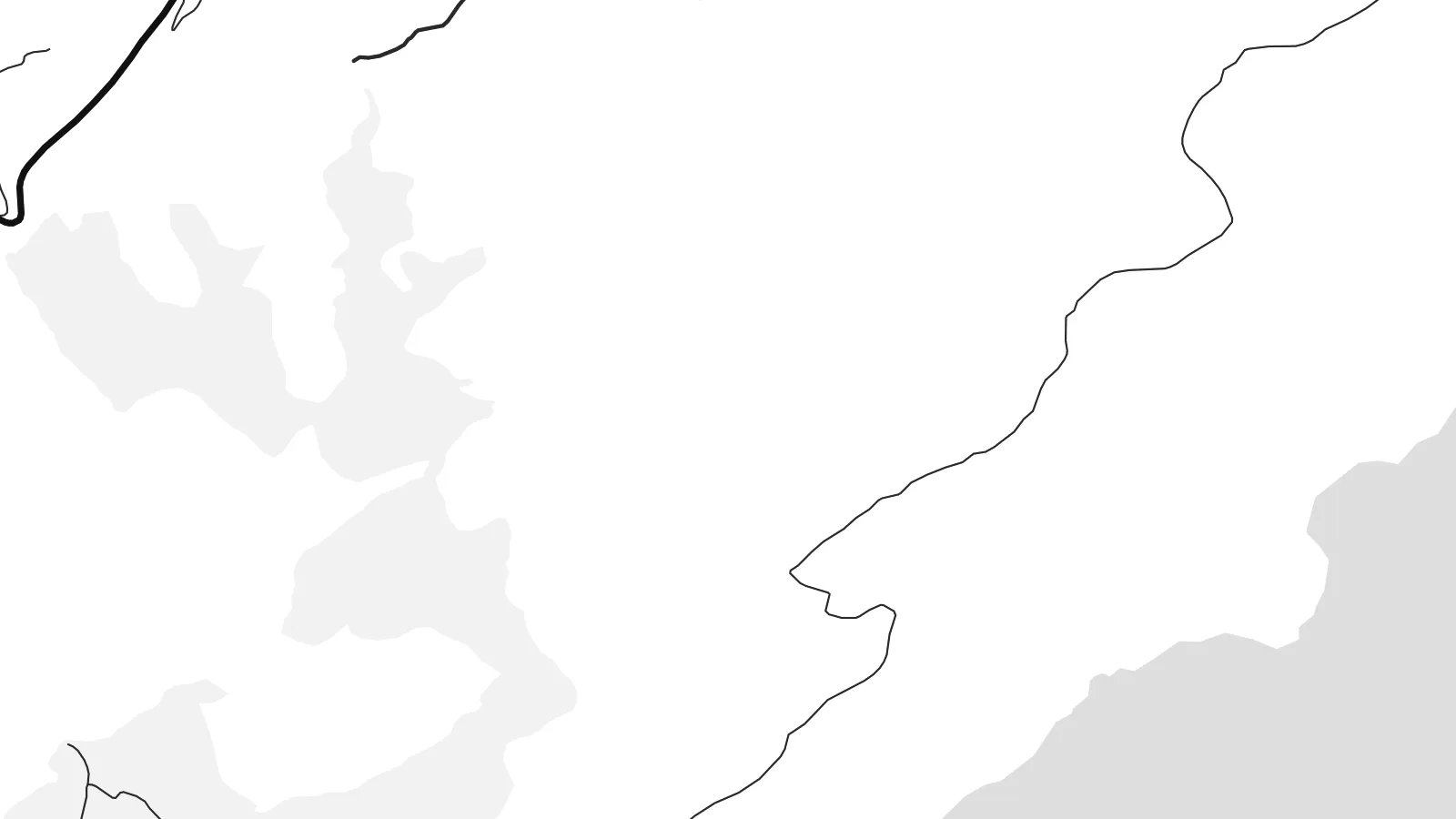 Pixels reali · fajl tal-istampar 24 × 36″
Preċiż għall-istampar
Dan huwa qtugħ ta' 100% mill-fajl tal-istampar reali. Kull poster — stampat, inkurnat jew iddawnlowdjat — jiġi ġġenerat fuq is-servers tagħna b'300 DPI, sa 7,200 × 10,800 pixel, biex saħansitra l-iżgħar toroq jibqgħu ċari fuq stampa ta' 24 × 36″.
Fuq il-ħajt


Il-mappa
Kasos is the southernmost island of the Dodecanese, lying between Karpathos and the eastern tip of Crete. It is long and mountainous, its southern slopes dropping steeply into the sea with barely a road. Almost all of its settlements sit on the gentler northern side, grouped around the small port and capital, Fry, and a handful of villages just inland.
The island is remembered for a dark episode in 1824, during the Greek War of Independence, when an Egyptian fleet landed on Kasos and killed or enslaved much of its population. The anniversary is still marked every year. The island also has a long seafaring tradition, and over generations many Kasiots made their lives at sea or settled abroad.
A Kasos map poster shows a place that has stayed small and quiet. The composition is weighted heavily to the north, where short roads connect the villages, while the rest of the island is a broad, largely empty landmass. Offshore, small islets such as Armathia add a few scattered forms to the surrounding sea.
Nearly all settlement lies along the north coast and the slopes just behind it. On the poster, these small clusters form a short band of detail against the bare interior.
The capital, Fry, surrounds a small old harbour known as Bouka, a tiny enclosed basin. It is the most intricate point on the island's coastline.
The southern half of the island is steep and almost roadless. It appears on the map as a clean, open shape, which gives the poster its sense of space.
Agħmlu tiegħek
Żid data, isem jew sentenza tiegħek, ibdel l-istil, id-daqs jew l-orjentazzjoni.
Il-preview b'xejn hija b'riżoluzzjoni baxxa u bil-watermark. L-istampi u l-fajls HD jiġu ġġenerati b'300 DPI, sa 7,200 × 10,800 px, mingħajr watermark.
Għaliex Kasos
Kasos has deep family ties for many people, including those whose parents or grandparents left it. A poster of the island is a way to keep a distant home in view, or to remember a trip to a corner of Greece that few people reach.
Add a family name or village to the title, a date in the subtitle, and your own coordinates line. Choose from Classic black & white, Noir, Paper, Blueprint and Sand, and order a printed poster or download 300 DPI files for $9.
Ordna l-poster Kasos| Daqs tal-istampa | Riżoluzzjoni | Fajls |
|---|---|---|
| 30 × 40 cm (11.8 × 15.7″) | 3,543 × 4,724 px | PNG · PDF |
| 29.7 × 42 cm (A3, 11.7 × 16.5″) | 3,508 × 4,961 px | PNG · PDF |
| 42 × 59.4 cm (A2, 16.5 × 23.4″) | 4,961 × 7,016 px | PNG · PDF |
| 45.7 × 61 cm (18 × 24″) | 5,400 × 7,200 px | PNG · PDF |
| 50 × 70 cm (19.7 × 27.6″) | 5,906 × 8,268 px | PNG · PDF |
| 61 × 91.4 cm (24 × 36″) | 7,200 × 10,800 px | PNG · PDF |
Għal paragun, il-preview b'xejn huwa wiesa' 900 px, għandu watermark u huwa maħsub għall-iskrins. Il-fajls HD għandhom sa 8× ir-riżoluzzjoni f'kull direzzjoni u jiġu stampati b'mod nadif fid-daqs sħiħ tal-poster.
Agħżel stil fin-naħa ta' fuq tal-paġna, imbagħad agħżel Poster Stampat — daqs u, jekk trid, kurniċa — jew Fajls Diġitali HD. Il-ħlas isir f'pass wieħed, u l-paġna tal-ordni tiegħek tiġi aġġornata malli l-ħlas jgħaddi.
Jiġi stampat fuq karta matte premium ta' 200 gsm f'wieħed minn sitt daqsijiet, minn 30 × 40 cm sa 24 × 36″. Il-posters stampati jibdew minn {printFrom}, bil-kunsinna inkluża.
Iva. Agħżel kurniċa tal-injam solidu f'iswed, abjad, ballut naturali jew injam skur. Tiġi bi ħġieġ li ma jinkisirx u lesta biex tittella'. Il-posters inkurnati jibdew minn {framedFrom}, bil-kunsinna inkluża.
Il-kunsinna hija b'xejn madwar id-dinja. Kull poster jiġi stampat mill-eqreb sieħeb tal-istampar tagħna f'aktar minn 30 pajjiż u ġeneralment jasal fi 3–7 ijiem tax-xogħol. Tista' ssegwi l-istatus u t-tracking taħt L-Ordnijiet Tiegħi.
Ibgħatilna ritratt fi żmien 14-il jum mill-kunsinna u aħna nistampawh mill-ġdid b'xejn jew nirrimborżawk.
Iva. Fl-editur ta' din il-paġna, biddel it-titlu, is-sottotitlu u l-linja tal-koordinati għal kwalunkwe ħaġa trid, u agħżel stil u daqs. L-ordnijiet stampati, inkurnati u diġitali kollha jużaw eżattament id-disinn tiegħek.
Għal $9 tikseb fajls PNG b'300 DPI u PDF lesti għall-istampar fis-sitt daqsijiet kollha, mingħajr watermark, biex tistampa kullimkien. Għadek mhux ċert? L-ewwel iddawnlowdja preview b'xejn bil-watermark.
