Lech river
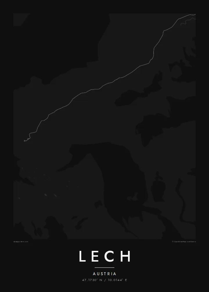
The river rises in the mountains nearby and runs through the centre of the village, giving the map a gentle central line before it heads north toward Bavaria.
Poster minimalist tal-mappa · l-Awstrija
47.1730° N / 10.0144° E
A high alpine village gathered along the young Lech river, with the small hamlet of Oberlech set on the slope above.



Belt waħda, ħames atmosferi
Agħfas fuq stil biex tarah fuq il-ħajt. Kull stil jiswa l-istess — stampat, inkurnat jew bħala fajls HD.
 Pixels reali · fajl tal-istampar 24 × 36″
Preċiż għall-istampar
Dan huwa qtugħ ta' 100% mill-fajl tal-istampar reali. Kull poster — stampat, inkurnat jew iddawnlowdjat — jiġi ġġenerat fuq is-servers tagħna b'300 DPI, sa 7,200 × 10,800 pixel, biex saħansitra l-iżgħar toroq jibqgħu ċari fuq stampa ta' 24 × 36″.
Fuq il-ħajt


Il-mappa
Lech sits in a high valley on the Vorarlberg side of the Arlberg, and its map is small and intimate. The village gathers along the Lech river, with a church on a rise, a main street lined with hotels and a handful of side lanes. Above it, the hamlet of Oberlech occupies a sunny terrace, and the valley road continues toward Zürs and the Flexen pass.
Lech began as a farming settlement founded by Walser migrants in the Middle Ages and became one of Austria's best-known ski villages in the twentieth century. It is part of Ski Arlberg, and since 2016 the Flexenbahn has linked it by lift with St. Anton. In winter Oberlech keeps its streets free of cars, with luggage delivered through a network of underground tunnels.
A Lech map poster is a portrait of a mountain village that has kept its scale: a river, a few streets, a scattering of chalets across the meadows and wide open ground where the slopes begin. The Weißer Ring, a classic circuit of lifts and runs around the valley, gives that surrounding space its meaning for skiers.
The river rises in the mountains nearby and runs through the centre of the village, giving the map a gentle central line before it heads north toward Bavaria.
The hamlet above the village sits on a sunny shelf of land reached by cable car, a small cluster of hotels and chalets separate from the valley floor.
The valley road climbs south from Lech to the neighbouring resort of Zürs and over the Flexen pass, the main route into the village in winter.
Agħmlu tiegħek
Żid data, isem jew sentenza tiegħek, ibdel l-istil, id-daqs jew l-orjentazzjoni.
Il-preview b'xejn hija b'riżoluzzjoni baxxa u bil-watermark. L-istampi u l-fajls HD jiġu ġġenerati b'300 DPI, sa 7,200 × 10,800 px, mingħajr watermark.
Għaliex Lech
Lech attracts a loyal crowd who prefer a quieter resort, and many have returned to the same chalet for years. A small, detailed map of the village is a fitting tribute to that kind of attachment, understated rather than showy.
Personalise the title, subtitle and coordinates line to mark a family tradition or a first visit, and choose from five styles: Classic black & white, Noir, Paper, Blueprint and Sand. Each digital file comes as a 300 DPI PNG and a print-ready PDF.
Ordna l-poster Lech| Daqs tal-istampa | Riżoluzzjoni | Fajls |
|---|---|---|
| 30 × 40 cm (11.8 × 15.7″) | 3,543 × 4,724 px | PNG · PDF |
| 29.7 × 42 cm (A3, 11.7 × 16.5″) | 3,508 × 4,961 px | PNG · PDF |
| 42 × 59.4 cm (A2, 16.5 × 23.4″) | 4,961 × 7,016 px | PNG · PDF |
| 45.7 × 61 cm (18 × 24″) | 5,400 × 7,200 px | PNG · PDF |
| 50 × 70 cm (19.7 × 27.6″) | 5,906 × 8,268 px | PNG · PDF |
| 61 × 91.4 cm (24 × 36″) | 7,200 × 10,800 px | PNG · PDF |
Għal paragun, il-preview b'xejn huwa wiesa' 900 px, għandu watermark u huwa maħsub għall-iskrins. Il-fajls HD għandhom sa 8× ir-riżoluzzjoni f'kull direzzjoni u jiġu stampati b'mod nadif fid-daqs sħiħ tal-poster.
Agħżel stil fin-naħa ta' fuq tal-paġna, imbagħad agħżel Poster Stampat — daqs u, jekk trid, kurniċa — jew Fajls Diġitali HD. Il-ħlas isir f'pass wieħed, u l-paġna tal-ordni tiegħek tiġi aġġornata malli l-ħlas jgħaddi.
Jiġi stampat fuq karta matte premium ta' 200 gsm f'wieħed minn sitt daqsijiet, minn 30 × 40 cm sa 24 × 36″. Il-posters stampati jibdew minn {printFrom}, bil-kunsinna inkluża.
Iva. Agħżel kurniċa tal-injam solidu f'iswed, abjad, ballut naturali jew injam skur. Tiġi bi ħġieġ li ma jinkisirx u lesta biex tittella'. Il-posters inkurnati jibdew minn {framedFrom}, bil-kunsinna inkluża.
Il-kunsinna hija b'xejn madwar id-dinja. Kull poster jiġi stampat mill-eqreb sieħeb tal-istampar tagħna f'aktar minn 30 pajjiż u ġeneralment jasal fi 3–7 ijiem tax-xogħol. Tista' ssegwi l-istatus u t-tracking taħt L-Ordnijiet Tiegħi.
Ibgħatilna ritratt fi żmien 14-il jum mill-kunsinna u aħna nistampawh mill-ġdid b'xejn jew nirrimborżawk.
Iva. Fl-editur ta' din il-paġna, biddel it-titlu, is-sottotitlu u l-linja tal-koordinati għal kwalunkwe ħaġa trid, u agħżel stil u daqs. L-ordnijiet stampati, inkurnati u diġitali kollha jużaw eżattament id-disinn tiegħek.
Għal $9 tikseb fajls PNG b'300 DPI u PDF lesti għall-istampar fis-sitt daqsijiet kollha, mingħajr watermark, biex tistampa kullimkien. Għadek mhux ċert? L-ewwel iddawnlowdja preview b'xejn bil-watermark.
