The valley corridor
River, road, railway and motorway run side by side along the Arc, forming a dense band of parallel lines across the lower part of the map.
Minimalist map poster · France
45.2092° N / 6.5369° E
A long Maurienne commune on the Arc, with a gondola climbing from the valley floor into the Trois Vallées.

One city, five moods
Tap a style to see it on the wall. Every style costs the same — printed, framed or as HD files.
 Actual pixels · 24 × 36″ print file
Print-sharp
This is a 100% crop of the real print file. Every poster — printed, framed or downloaded — is rendered on our servers at 300 DPI, up to 7,200 × 10,800 pixels, so even the smallest lanes stay crisp on a 24 × 36″ print.
On the wall
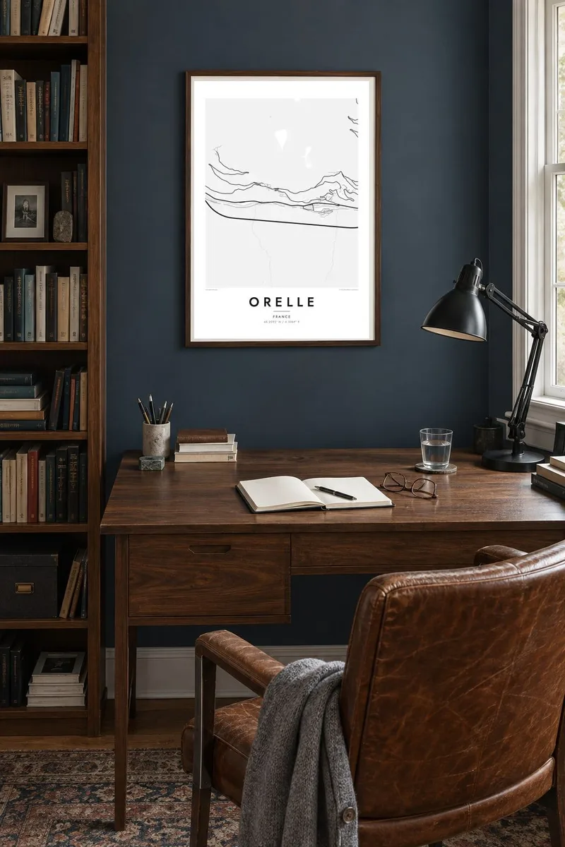

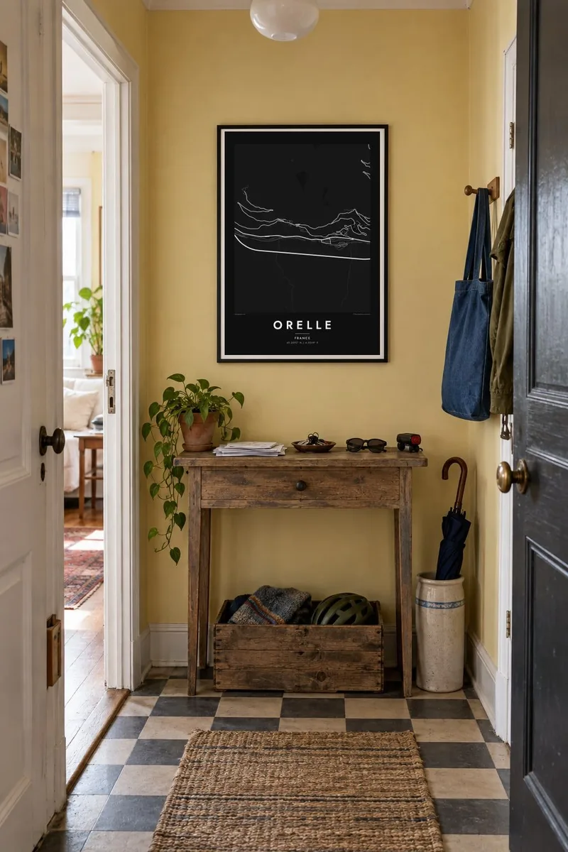
The resort
Orelle lies in the Maurienne valley in Savoie, along the Arc river between Saint-Michel-de-Maurienne and Modane. The valley floor here is narrow and busy with infrastructure, carrying the river, the main road, the railway and the motorway toward the Fréjus tunnel and Italy. On the map these run together as a bundle of parallel lines, with the village and hamlets on the slopes to either side.
What sets Orelle apart is its gondola, a long lift that climbs from the valley to the upper slopes of Val Thorens and connects the village to the Trois Vallées ski area. The commune covers around sixty-nine square kilometres and rises steeply from the Arc to high mountain terrain, so much of the territory appears as open, pale ground on the print.
An Orelle map poster shows a place defined by movement: the transport corridor along the valley, and the lift line cutting straight uphill to the high snowfields. The contrast between the crowded valley floor and the empty mountain above gives the map an unusual, strongly directional composition and a clear sense of scale.
River, road, railway and motorway run side by side along the Arc, forming a dense band of parallel lines across the lower part of the map.
A long lift climbs from Orelle toward Val Thorens, connecting a small valley village to the upper reaches of the Trois Vallées ski area.
Small clusters of houses sit above the valley floor on the surrounding slopes, linked by winding lanes that climb away from the transport routes.
Make it yours
Add a date, a name or a line of your own, switch style, size or orientation.
The free preview is low-resolution with a watermark. Prints and HD files are rendered at 300 DPI, up to 7,200 × 10,800 px, without a watermark.
Why Orelle
Orelle is the base for the Trois Vallées that many skiers only discover after a few seasons elsewhere: a quiet valley village with direct access to the highest slopes. A map of it records that discovery and makes a clear, graphic piece for any wall.
The title, subtitle and coordinates line are all yours to set. Choose Classic black & white for a crisp look, Blueprint for a technical feel, or Noir, Paper or Sand, and order digital HD files or a printed poster on matte paper.
Order the Orelle poster| Print size | Resolution | Files |
|---|---|---|
| 30 × 40 cm11.8 × 15.7″ | 3,543 × 4,724 px | PNG · PDF |
| 29.7 × 42 cm (A3)11.7 × 16.5″ | 3,508 × 4,961 px | PNG · PDF |
| 42 × 59.4 cm (A2)16.5 × 23.4″ | 4,961 × 7,016 px | PNG · PDF |
| 45.7 × 61 cm18 × 24″ | 5,400 × 7,200 px | PNG · PDF |
| 50 × 70 cm19.7 × 27.6″ | 5,906 × 8,268 px | PNG · PDF |
| 61 × 91.4 cm24 × 36″ | 7,200 × 10,800 px | PNG · PDF |
For comparison, the free preview is 900 px wide, watermarked and meant for screens. The HD files have up to 8× the resolution in each direction and print cleanly at full poster size.
Pick a style at the top of the page, then choose Printed Poster — a size and, if you like, a frame — or Digital HD Files. Checkout takes one step, and your order page updates as soon as the payment goes through.
It is printed on premium 200 gsm matte paper in one of six sizes, from 30 × 40 cm to 24 × 36″. Printed posters start at $39, shipping included.
Yes. Choose a solid wood frame in black, white, natural oak or dark wood. It comes with shatterproof glazing and is ready to hang. Framed posters start at $99, shipping included.
Shipping is free to 60+ countries. Each poster is printed by the nearest of our print partners in 30+ countries and usually arrives in 3–7 business days. You can follow the status and tracking under My Orders. A few countries take 2–5 weeks, and where we don't ship yet, the site tells you before you pay.
Send us a photo within 14 days of delivery and we will reprint it for free or refund you.
Yes. In the editor on this page, change the title, the subtitle and the coordinates line to anything you like, and pick a style and size. Printed, framed and digital orders all use exactly your design.
For $9 you get 300 DPI PNG and print-ready PDF files in all six sizes, without a watermark, to print anywhere. Not sure yet? Download a free watermarked preview first.
Nearby
