Bowl at the top
The resort fills a basin at the head of the valley. On paper the buildings form one compact mass surrounded by bare terrain, with no forest in sight.
Minimalist map poster · France
45.2981° N / 6.5800° E
A compact, high-altitude resort built in a bowl at the head of a valley, surrounded by glacier and bare peaks

One city, five moods
Tap a style to see it on the wall. Every style costs the same — printed, framed or as HD files.
 Actual pixels · 24 × 36″ print file
Print-sharp
This is a 100% crop of the real print file. Every poster — printed, framed or downloaded — is rendered on our servers at 300 DPI, up to 7,200 × 10,800 pixels, so even the smallest lanes stay crisp on a 24 × 36″ print.
On the wall

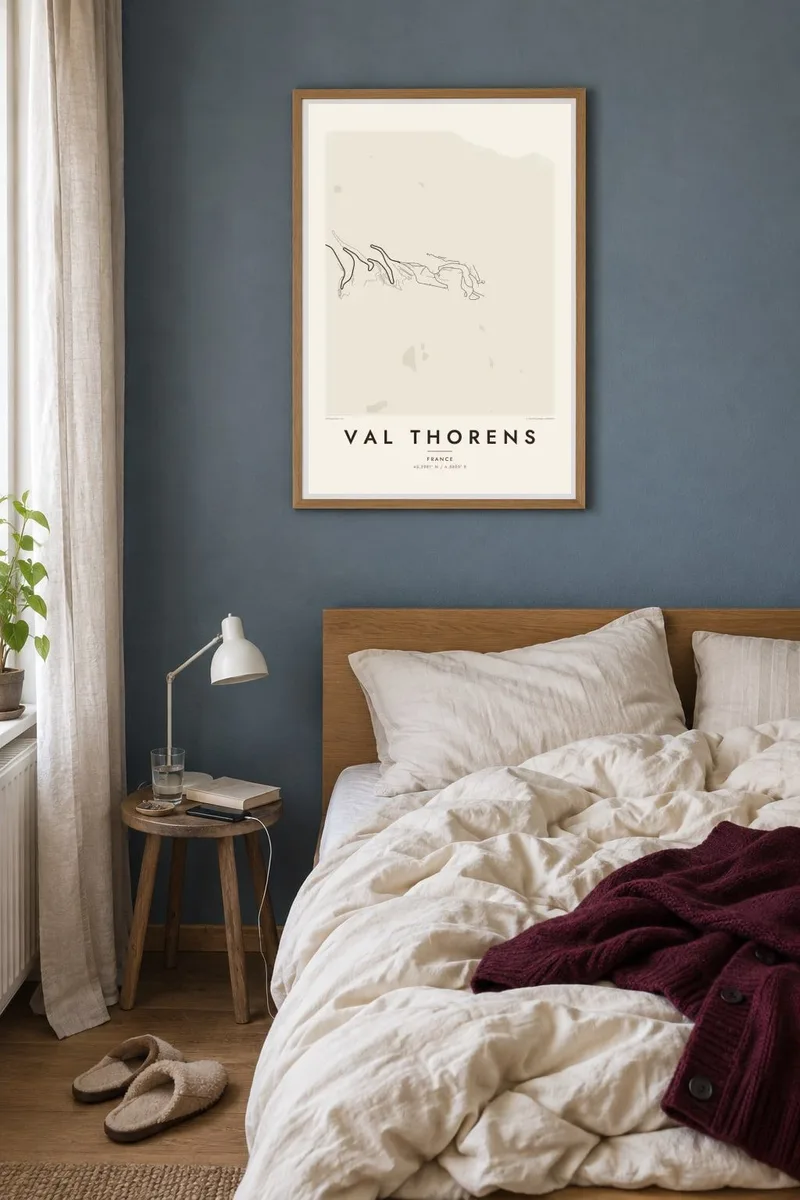

The resort
Val Thorens sits at the very head of the Belleville valley, and it is often called the highest ski resort in Europe. On a map it is small and dense. Residences and hotels crowd into a bowl, and roads and ski runs lead in from every side. Around it the land is open, with no forest and little development. Rock, snow and glacier surround the resort on three sides.
The resort was built from the early 1970s to put skiers directly on the snow, and its layout reflects that goal. Buildings stand close together, and pistes run between them and down into the village. Val Thorens is part of the Three Valleys, and its lifts reach the surrounding summits, including the Cime Caron and the slopes towards the Péclet glacier.
A Val Thorens map poster is unusual among alpine maps. The streets form a tight, deliberate knot, and everything around them is almost empty. Nothing is hidden by forest or scattered hamlets. The drawing makes clear how high and remote the resort is, which suits anyone who has skied from their door here at the start of the season.
The resort fills a basin at the head of the valley. On paper the buildings form one compact mass surrounded by bare terrain, with no forest in sight.
Val Thorens was built so that pistes run right between the residences. The map shows streets and runs woven together, and the line between village and ski area is hard to draw.
High slopes above the resort lead towards glaciated terrain. The map dissolves into open white space there, showing just how high the resort stands and how close it is to the ice.
Make it yours
Add a date, a name or a line of your own, switch style, size or orientation.
The free preview is low-resolution with a watermark. Prints and HD files are rendered at 300 DPI, up to 7,200 × 10,800 px, without a watermark.
Why Val Thorens
Val Thorens is a place for serious skiers and long, bright days above the tree line. A poster of the compact resort and its empty surroundings brings back that height, and friends from a group trip will recognise it straight away.
Add a title, a subtitle for the dates of your week, and keep the coordinates. Blueprint suits the planned layout, and Noir makes the empty terrain striking. Classic black & white, Paper and Sand are also available, as HD files or matte prints.
Order the Val Thorens poster| Print size | Resolution | Files |
|---|---|---|
| 30 × 40 cm11.8 × 15.7″ | 3,543 × 4,724 px | PNG · PDF |
| 29.7 × 42 cm (A3)11.7 × 16.5″ | 3,508 × 4,961 px | PNG · PDF |
| 42 × 59.4 cm (A2)16.5 × 23.4″ | 4,961 × 7,016 px | PNG · PDF |
| 45.7 × 61 cm18 × 24″ | 5,400 × 7,200 px | PNG · PDF |
| 50 × 70 cm19.7 × 27.6″ | 5,906 × 8,268 px | PNG · PDF |
| 61 × 91.4 cm24 × 36″ | 7,200 × 10,800 px | PNG · PDF |
For comparison, the free preview is 900 px wide, watermarked and meant for screens. The HD files have up to 8× the resolution in each direction and print cleanly at full poster size.
Pick a style at the top of the page, then choose Printed Poster — a size and, if you like, a frame — or Digital HD Files. Checkout takes one step, and your order page updates as soon as the payment goes through.
It is printed on premium 200 gsm matte paper in one of six sizes, from 30 × 40 cm to 24 × 36″. Printed posters start at $39, shipping included.
Yes. Choose a solid wood frame in black, white, natural oak or dark wood. It comes with shatterproof glazing and is ready to hang. Framed posters start at $99, shipping included.
Shipping is free to 60+ countries. Each poster is printed by the nearest of our print partners in 30+ countries and usually arrives in 3–7 business days. You can follow the status and tracking under My Orders. A few countries take 2–5 weeks, and where we don't ship yet, the site tells you before you pay.
Send us a photo within 14 days of delivery and we will reprint it for free or refund you.
Yes. In the editor on this page, change the title, the subtitle and the coordinates line to anything you like, and pick a style and size. Printed, framed and digital orders all use exactly your design.
For $9 you get 300 DPI PNG and print-ready PDF files in all six sizes, without a watermark, to print anywhere. Not sure yet? Download a free watermarked preview first.
Nearby
