Oyama Station junction
Shinkansen and local lines meet at Oyama Station. The tracks leave in several directions, and their crossing pattern anchors the whole composition.
Minimalist map poster · Japan
36.3000° N / 139.8000° E
A rail junction town on the Omoi River, with the flat fields of the Kanto Plain pressing in around its compact centre.

One city, five moods
Tap a style to see it on the wall. Every style costs the same — printed, framed or as HD files.
 Actual pixels · 24 × 36″ print file
Print-sharp
This is a 100% crop of the real print file. Every poster — printed, framed or downloaded — is rendered on our servers at 300 DPI, up to 7,200 × 10,800 pixels, so even the smallest lanes stay crisp on a 24 × 36″ print.
On the wall

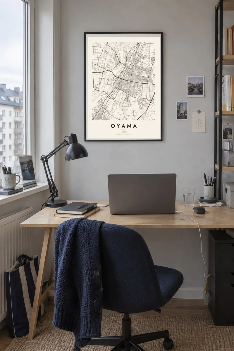
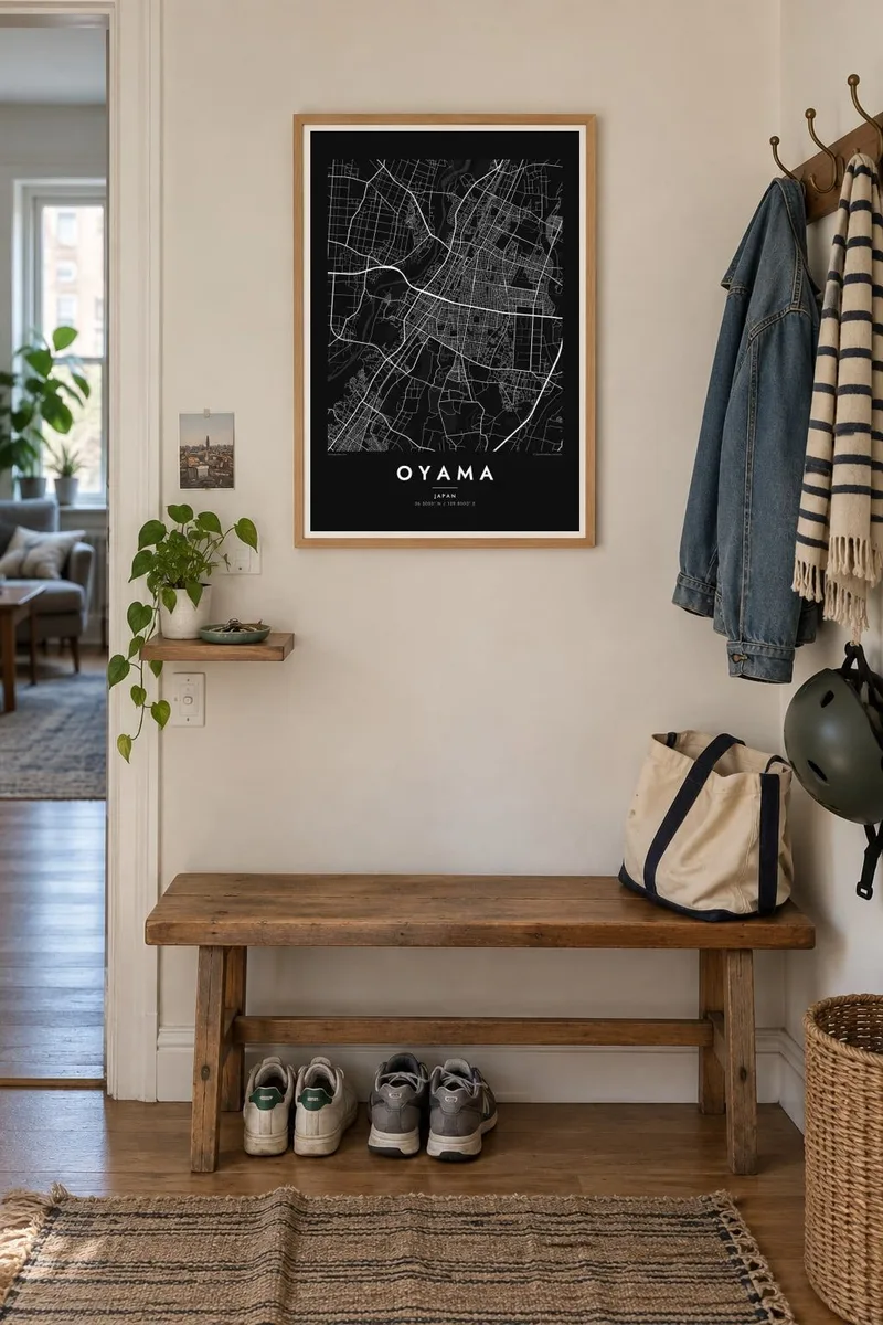
The map
Oyama is the southernmost major city of Tochigi Prefecture, on the northern edge of the Kanto Plain. The Omoi River runs along the western edge of the centre, and the city is built on almost flat ground, so rail lines and roads shape its map more than hills do. Beyond the station districts, rice paddies, factories and suburban housing mix in a loose, spreading pattern.
Oyama Station is a stop on the Tohoku Shinkansen and a junction of several conventional lines, which gives the centre a strong radiating structure of tracks. The city is also known for Yuki-tsumugi, a hand-woven silk made in the Oyama and Yuki area and recognised by UNESCO as intangible cultural heritage. The remains of Gion Castle stand on the riverbank near the centre.
An Oyama map poster reads almost like a diagram of movement: rail lines crossing at the station, highways heading toward Tokyo and Utsunomiya, and the river winding past older streets. Toward the edges the pattern loosens into small roads between fields, so the print fades gradually from a dense centre into the open plain.
Shinkansen and local lines meet at Oyama Station. The tracks leave in several directions, and their crossing pattern anchors the whole composition.
The Omoi River curves along the west side of the centre, with parkland on its banks near the old castle site. It adds a soft, irregular line to an otherwise flat townscape.
Beyond the built-up area, the fine lanes between paddy fields and the scattered settlements typical of the Kanto Plain make the outer parts of the map intricate and quiet.
Make it yours
Add a date, a name or a line of your own, switch style, size or orientation.
The free preview is low-resolution with a watermark. Prints and HD files are rendered at 300 DPI, up to 7,200 × 10,800 px, without a watermark.
Why Oyama
Oyama is a commuter town for many people who work in Tokyo and a hometown for others, and a map can mark either connection. You can word the title and subtitle any way you like, perhaps with a date, and adjust the coordinates line.
There are five styles: Classic black & white, Noir, Paper, Blueprint and Sand. Paper and Sand suit a room with natural wood and textiles. You can download the HD files for $9 in six sizes, or order a matte print with an optional wooden frame.
Order the Oyama poster| Print size | Resolution | Files |
|---|---|---|
| 30 × 40 cm11.8 × 15.7″ | 3,543 × 4,724 px | PNG · PDF |
| 29.7 × 42 cm (A3)11.7 × 16.5″ | 3,508 × 4,961 px | PNG · PDF |
| 42 × 59.4 cm (A2)16.5 × 23.4″ | 4,961 × 7,016 px | PNG · PDF |
| 45.7 × 61 cm18 × 24″ | 5,400 × 7,200 px | PNG · PDF |
| 50 × 70 cm19.7 × 27.6″ | 5,906 × 8,268 px | PNG · PDF |
| 61 × 91.4 cm24 × 36″ | 7,200 × 10,800 px | PNG · PDF |
For comparison, the free preview is 900 px wide, watermarked and meant for screens. The HD files have up to 8× the resolution in each direction and print cleanly at full poster size.
Pick a style at the top of the page, then choose Printed Poster — a size and, if you like, a frame — or Digital HD Files. Checkout takes one step, and your order page updates as soon as the payment goes through.
It is printed on premium 200 gsm matte paper in one of six sizes, from 30 × 40 cm to 24 × 36″. Printed posters start at $39, shipping included.
Yes. Choose a solid wood frame in black, white, natural oak or dark wood. It comes with shatterproof glazing and is ready to hang. Framed posters start at $99, shipping included.
Shipping is free to 60+ countries. Each poster is printed by the nearest of our print partners in 30+ countries and usually arrives in 3–7 business days. You can follow the status and tracking under My Orders. A few countries take 2–5 weeks, and where we don't ship yet, the site tells you before you pay.
Send us a photo within 14 days of delivery and we will reprint it for free or refund you.
Yes. In the editor on this page, change the title, the subtitle and the coordinates line to anything you like, and pick a style and size. Printed, framed and digital orders all use exactly your design.
For $9 you get 300 DPI PNG and print-ready PDF files in all six sizes, without a watermark, to print anywhere. Not sure yet? Download a free watermarked preview first.
Nearby
