Mile-section grid
Major streets fall about a mile apart in both directions. They create a repeating pattern of large squares that reads almost like graph paper across the whole poster.
Minimalist map poster · United States
33.4484° N / 112.0740° W
A vast desert grid of mile-square sections, broken by mountain preserves, a dry riverbed and looping freeways.

One city, five moods
Tap a style to see it on the wall. Every style costs the same — printed, framed or as HD files.
 Actual pixels · 24 × 36″ print file
Print-sharp
This is a 100% crop of the real print file. Every poster — printed, framed or downloaded — is rendered on our servers at 300 DPI, up to 7,200 × 10,800 pixels, so even the smallest lanes stay crisp on a 24 × 36″ print.
On the wall
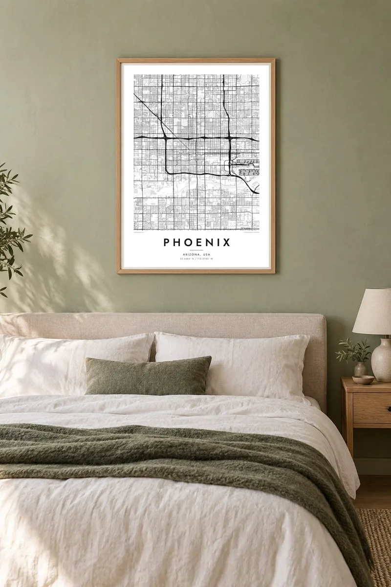

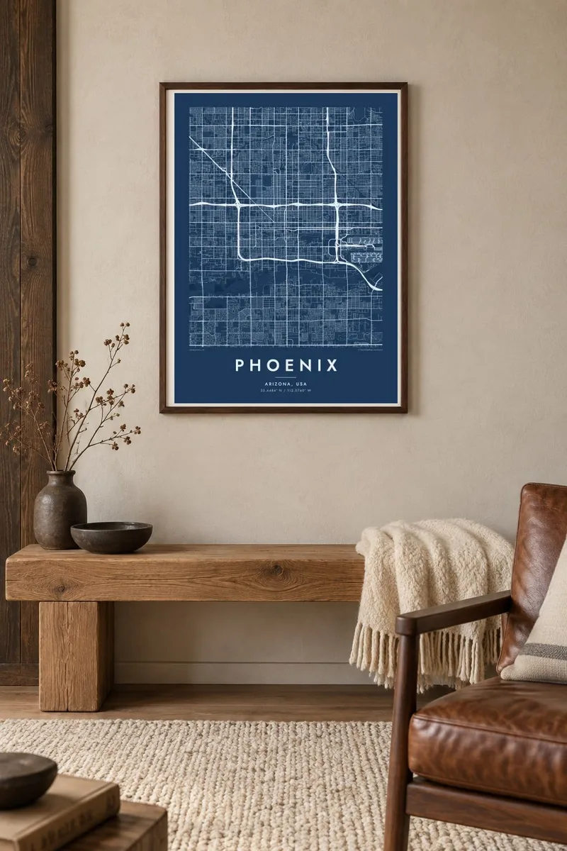
The map
Seen from above, Phoenix is one of the most regular cities in North America. Its main roads follow the survey grid of mile-square sections, running north to south and east to west, with smaller residential streets filling each square. The pattern continues almost without a break across the Valley of the Sun, joining Phoenix to Scottsdale, Tempe, Mesa and Glendale.
The grid breaks only where the land refuses it. Camelback Mountain, Piestewa Peak and the Phoenix Mountains rise as irregular blank spaces in the north. South Mountain Park, one of the largest city parks in the United States, forms a broad empty shape to the south. The Salt River crosses the city in a wide, often dry channel, and freeway loops circle outward.
Long before the modern city, the Hohokam people built a large network of irrigation canals in this valley, and some of today's canals follow similar routes. A Phoenix map poster shows how the desert shaped a city of straight lines and wide open spaces. At larger print sizes, the canals appear as fine diagonal lines across the grid.
Major streets fall about a mile apart in both directions. They create a repeating pattern of large squares that reads almost like graph paper across the whole poster.
A mountain preserve of more than 16,000 acres on the southern edge of the city interrupts the grid. Its rugged, empty ground is crossed only by trails.
Irrigation canals such as the Arizona Canal cut diagonally through the straight streets, following the slope of the land. They appear as thin lines running against the grid.
Make it yours
Add a date, a name or a line of your own, switch style, size or orientation.
The free preview is low-resolution with a watermark. Prints and HD files are rendered at 300 DPI, up to 7,200 × 10,800 px, without a watermark.
Why Phoenix
For people who moved to Phoenix, or grew up in one of its many neighbourhoods, the grid itself is familiar. Put a street, a suburb or a family name in the title and a date in the subtitle, with the coordinates of home below.
Sand echoes the colours of the desert, and Classic black and white brings out the precision of the grid. Download six sizes for $9 as 300 DPI PNG and print-ready PDF, or order a matte print with an optional wooden frame.
Order the Phoenix poster| Print size | Resolution | Files |
|---|---|---|
| 30 × 40 cm11.8 × 15.7″ | 3,543 × 4,724 px | PNG · PDF |
| 29.7 × 42 cm (A3)11.7 × 16.5″ | 3,508 × 4,961 px | PNG · PDF |
| 42 × 59.4 cm (A2)16.5 × 23.4″ | 4,961 × 7,016 px | PNG · PDF |
| 45.7 × 61 cm18 × 24″ | 5,400 × 7,200 px | PNG · PDF |
| 50 × 70 cm19.7 × 27.6″ | 5,906 × 8,268 px | PNG · PDF |
| 61 × 91.4 cm24 × 36″ | 7,200 × 10,800 px | PNG · PDF |
For comparison, the free preview is 900 px wide, watermarked and meant for screens. The HD files have up to 8× the resolution in each direction and print cleanly at full poster size.
Pick a style at the top of the page, then choose Printed Poster — a size and, if you like, a frame — or Digital HD Files. Checkout takes one step, and your order page updates as soon as the payment goes through.
It is printed on premium 200 gsm matte paper in one of six sizes, from 30 × 40 cm to 24 × 36″. Printed posters start at $39, shipping included.
Yes. Choose a solid wood frame in black, white, natural oak or dark wood. It comes with shatterproof glazing and is ready to hang. Framed posters start at $99, shipping included.
Shipping is free to 60+ countries. Each poster is printed by the nearest of our print partners in 30+ countries and usually arrives in 3–7 business days. You can follow the status and tracking under My Orders. A few countries take 2–5 weeks, and where we don't ship yet, the site tells you before you pay.
Send us a photo within 14 days of delivery and we will reprint it for free or refund you.
Yes. In the editor on this page, change the title, the subtitle and the coordinates line to anything you like, and pick a style and size. Printed, framed and digital orders all use exactly your design.
For $9 you get 300 DPI PNG and print-ready PDF files in all six sizes, without a watermark, to print anywhere. Not sure yet? Download a free watermarked preview first.
Nearby
