Yatsu paddy valleys
Narrow valleys of rice fields branch into the plateau like the fingers of a hand, appearing on the poster as open, curving spaces between the built-up ground.
Minimalist map poster · Japan
35.7167° N / 140.2667° E
A small town on the Shimosa plateau, where tablelands of houses and woods are cut by narrow valleys of rice paddies.

One city, five moods
Tap a style to see it on the wall. Every style costs the same — printed, framed or as HD files.
 Actual pixels · 24 × 36″ print file
Print-sharp
This is a 100% crop of the real print file. Every poster — printed, framed or downloaded — is rendered on our servers at 300 DPI, up to 7,200 × 10,800 pixels, so even the smallest lanes stay crisp on a 24 × 36″ print.
On the wall
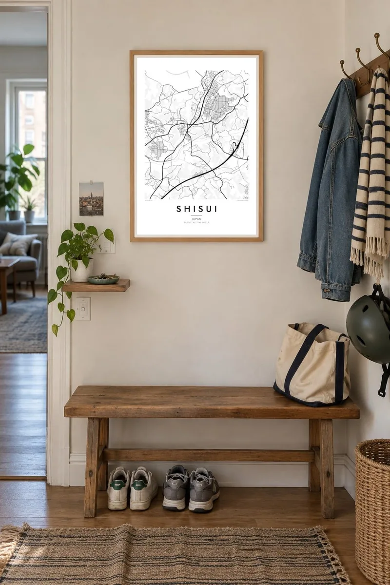

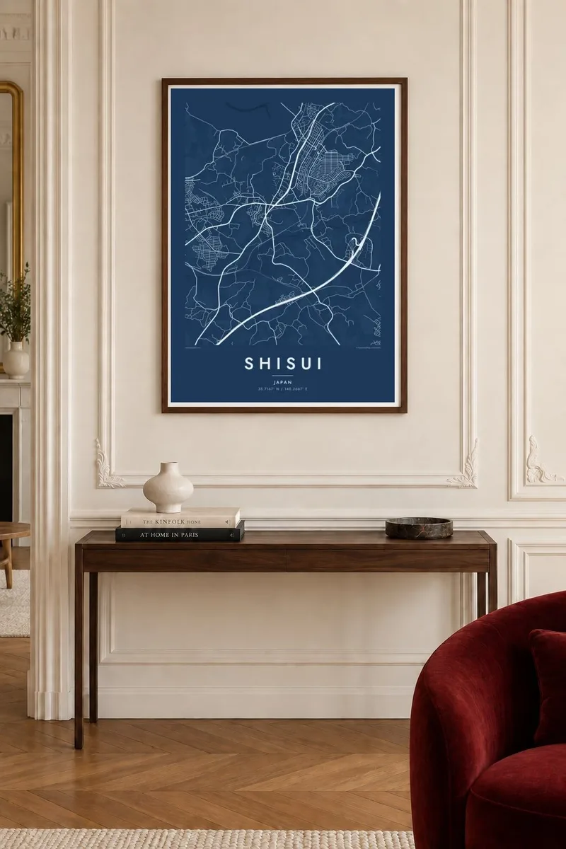
The map
Shisui lies in northern Chiba, on the Shimosa plateau between Sakura and Narita. The ground here is low but not flat: gently raised tablelands carry roads, housing and patches of woodland, while narrow, branching valleys, known locally as yatsu, hold rice paddies. On a map this produces a distinctive pattern of pale, finger-shaped valleys threading between denser built-up areas.
The town grew along the Keisei rail line, with stations anchoring small clusters of shops and residential streets, and newer housing estates laid out in neat loops on the plateau. Many visitors know Shisui for its large premium outlet mall beside the Higashi-Kanto Expressway, a short drive from Narita Airport, which makes the town a familiar name to travellers as well as commuters.
A Shisui map poster captures a landscape typical of the Kanto countryside but rarely seen so clearly: the interplay of plateau and paddy valley, rail line and expressway. It suits residents, people who commute from here into Tokyo, and anyone who remembers this stretch of green on the way to or from Narita.
Narrow valleys of rice fields branch into the plateau like the fingers of a hand, appearing on the poster as open, curving spaces between the built-up ground.
The railway crosses the town, and the areas around its stations form small, dense knots of streets that act as the everyday centres of Shisui.
Planned neighbourhoods on the higher ground are laid out in looping streets and cul-de-sacs, a tidier pattern than the older roads that follow the valley edges.
Make it yours
Add a date, a name or a line of your own, switch style, size or orientation.
The free preview is low-resolution with a watermark. Prints and HD files are rendered at 300 DPI, up to 7,200 × 10,800 px, without a watermark.
Why Shisui
For families in Shisui, or anyone who spent years in this part of Chiba, the map holds the shape of daily routes between station, paddies and home. Add your own title, a move-in date or anniversary, and a coordinates line for your street.
Paper and Sand soften the rural character, while Classic black & white, Noir and Blueprint sharpen it. The $9 download includes six sizes, among them A3 and A2, as 300 DPI PNG and print-ready PDF, with no watermark.
Order the Shisui poster| Print size | Resolution | Files |
|---|---|---|
| 30 × 40 cm11.8 × 15.7″ | 3,543 × 4,724 px | PNG · PDF |
| 29.7 × 42 cm (A3)11.7 × 16.5″ | 3,508 × 4,961 px | PNG · PDF |
| 42 × 59.4 cm (A2)16.5 × 23.4″ | 4,961 × 7,016 px | PNG · PDF |
| 45.7 × 61 cm18 × 24″ | 5,400 × 7,200 px | PNG · PDF |
| 50 × 70 cm19.7 × 27.6″ | 5,906 × 8,268 px | PNG · PDF |
| 61 × 91.4 cm24 × 36″ | 7,200 × 10,800 px | PNG · PDF |
For comparison, the free preview is 900 px wide, watermarked and meant for screens. The HD files have up to 8× the resolution in each direction and print cleanly at full poster size.
Pick a style at the top of the page, then choose Printed Poster — a size and, if you like, a frame — or Digital HD Files. Checkout takes one step, and your order page updates as soon as the payment goes through.
It is printed on premium 200 gsm matte paper in one of six sizes, from 30 × 40 cm to 24 × 36″. Printed posters start at $39, shipping included.
Yes. Choose a solid wood frame in black, white, natural oak or dark wood. It comes with shatterproof glazing and is ready to hang. Framed posters start at $99, shipping included.
Shipping is free to 60+ countries. Each poster is printed by the nearest of our print partners in 30+ countries and usually arrives in 3–7 business days. You can follow the status and tracking under My Orders. A few countries take 2–5 weeks, and where we don't ship yet, the site tells you before you pay.
Send us a photo within 14 days of delivery and we will reprint it for free or refund you.
Yes. In the editor on this page, change the title, the subtitle and the coordinates line to anything you like, and pick a style and size. Printed, framed and digital orders all use exactly your design.
For $9 you get 300 DPI PNG and print-ready PDF files in all six sizes, without a watermark, to print anywhere. Not sure yet? Download a free watermarked preview first.
Nearby
