Bay of Tangier
The shoreline sweeps east from the old port in a wide crescent, followed by a long seafront road that anchors the northern edge of the map.
Minimalist map poster · Morocco
35.7673° N / 5.7998° W
A crescent bay on the Strait of Gibraltar, with a hilltop kasbah and medina facing Spain across the water.

One city, five moods
Tap a style to see it on the wall. Every style costs the same — printed, framed or as HD files.
 Actual pixels · 24 × 36″ print file
Print-sharp
This is a 100% crop of the real print file. Every poster — printed, framed or downloaded — is rendered on our servers at 300 DPI, up to 7,200 × 10,800 pixels, so even the smallest lanes stay crisp on a 24 × 36″ print.
On the wall

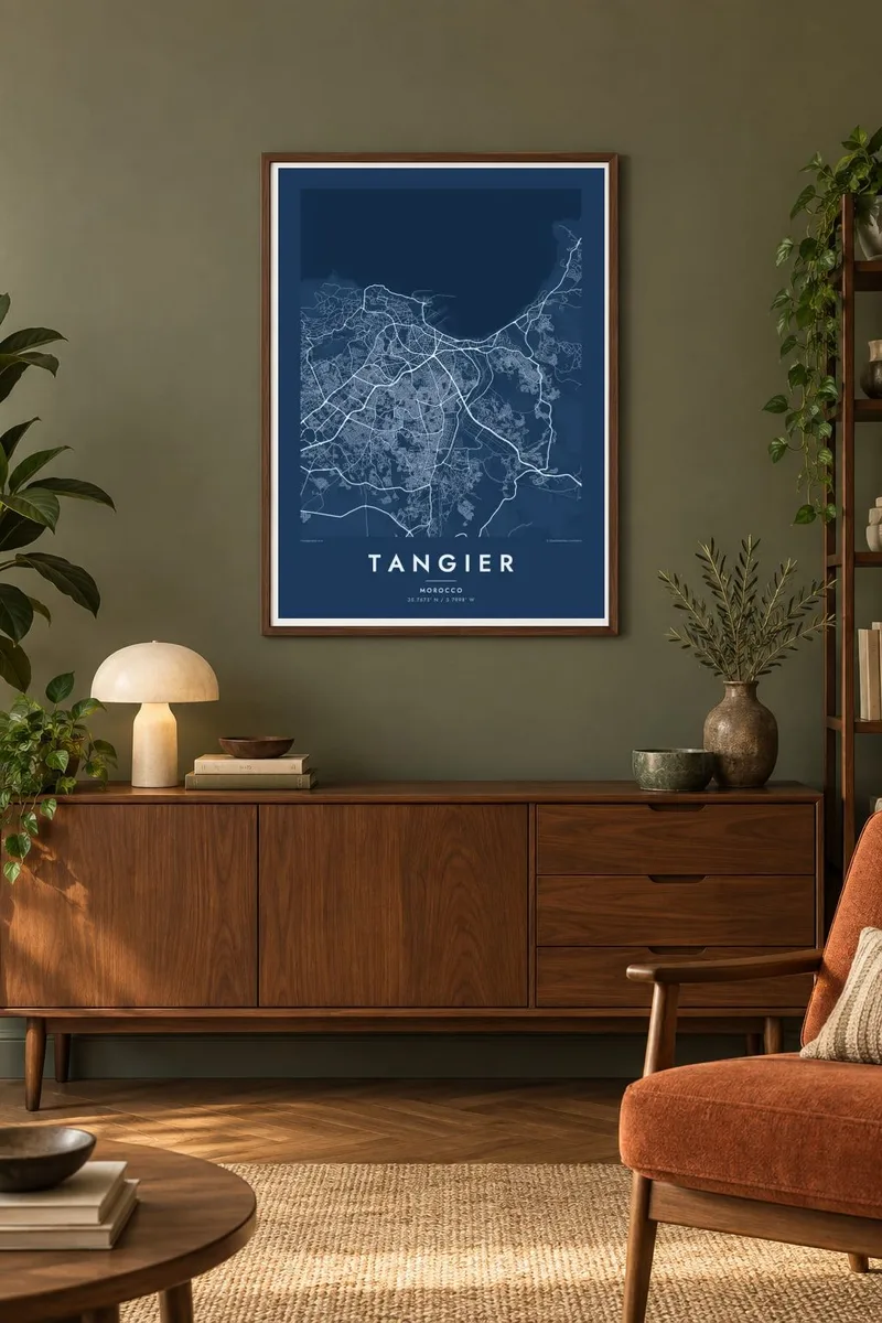
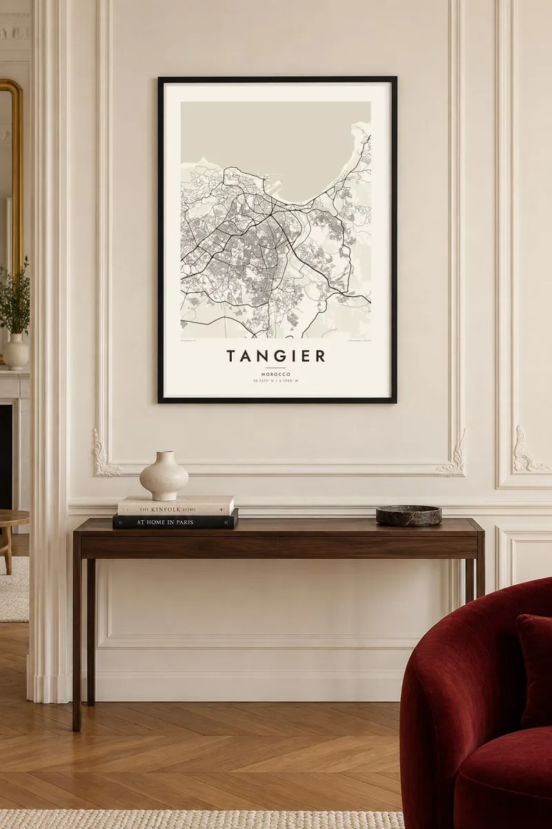
The map
Tangier sits on the northwestern tip of Africa, where the Atlantic meets the Mediterranean at the Strait of Gibraltar. The city curves around a wide bay, and on a clear day the Spanish coast is visible across the water. On a map the shoreline forms a strong crescent, with the old port at its western end and the seafront road running east along the beach.
The medina climbs the slope above the port in a dense tangle of lanes, and the kasbah occupies its highest point. From the Grand Socco, the square at the medina's edge, the more regular streets of the twentieth-century city extend south and west. From 1923 to 1956 Tangier was an international zone, a period that drew writers, diplomats and artists.
A Tangier map poster reads almost like a diagram of the city's past: the medieval medina, the early twentieth-century avenues and the modern districts spreading over the hills toward Cap Spartel, where the coast turns south into the Atlantic. The bay gives the composition a generous open edge, and the old town supplies the fine detail up close.
The shoreline sweeps east from the old port in a wide crescent, followed by a long seafront road that anchors the northern edge of the map.
Narrow, winding lanes climb from the port to the walled kasbah at the top of the hill, the densest and most intricate part of the entire city plan.
West of the city, the land ends at a headland with a lighthouse where the Strait opens onto the Atlantic, close to the Caves of Hercules along the coast.
Make it yours
Add a date, a name or a line of your own, switch style, size or orientation.
The free preview is low-resolution with a watermark. Prints and HD files are rendered at 300 DPI, up to 7,200 × 10,800 px, without a watermark.
Why Tangier
Tangier attracts people who value crossings between continents, languages and eras. A map of the bay and the medina is an elegant reminder of a stay, a family link to northern Morocco or a ferry arrival from Tarifa on a bright morning.
Change the title, subtitle and coordinates line to suit, and choose one of five styles; Sand and Paper sit well with the whitewashed medina, Blueprint with the harbour. HD files are $9, and printed posters ship from partners in more than 30 countries.
Order the Tangier poster| Print size | Resolution | Files |
|---|---|---|
| 30 × 40 cm11.8 × 15.7″ | 3,543 × 4,724 px | PNG · PDF |
| 29.7 × 42 cm (A3)11.7 × 16.5″ | 3,508 × 4,961 px | PNG · PDF |
| 42 × 59.4 cm (A2)16.5 × 23.4″ | 4,961 × 7,016 px | PNG · PDF |
| 45.7 × 61 cm18 × 24″ | 5,400 × 7,200 px | PNG · PDF |
| 50 × 70 cm19.7 × 27.6″ | 5,906 × 8,268 px | PNG · PDF |
| 61 × 91.4 cm24 × 36″ | 7,200 × 10,800 px | PNG · PDF |
For comparison, the free preview is 900 px wide, watermarked and meant for screens. The HD files have up to 8× the resolution in each direction and print cleanly at full poster size.
Pick a style at the top of the page, then choose Printed Poster — a size and, if you like, a frame — or Digital HD Files. Checkout takes one step, and your order page updates as soon as the payment goes through.
It is printed on premium 200 gsm matte paper in one of six sizes, from 30 × 40 cm to 24 × 36″. Printed posters start at $39, shipping included.
Yes. Choose a solid wood frame in black, white, natural oak or dark wood. It comes with shatterproof glazing and is ready to hang. Framed posters start at $99, shipping included.
Shipping is free to 60+ countries. Each poster is printed by the nearest of our print partners in 30+ countries and usually arrives in 3–7 business days. You can follow the status and tracking under My Orders. A few countries take 2–5 weeks, and where we don't ship yet, the site tells you before you pay.
Send us a photo within 14 days of delivery and we will reprint it for free or refund you.
Yes. In the editor on this page, change the title, the subtitle and the coordinates line to anything you like, and pick a style and size. Printed, framed and digital orders all use exactly your design.
For $9 you get 300 DPI PNG and print-ready PDF files in all six sizes, without a watermark, to print anywhere. Not sure yet? Download a free watermarked preview first.
Nearby
