Circular fort walls
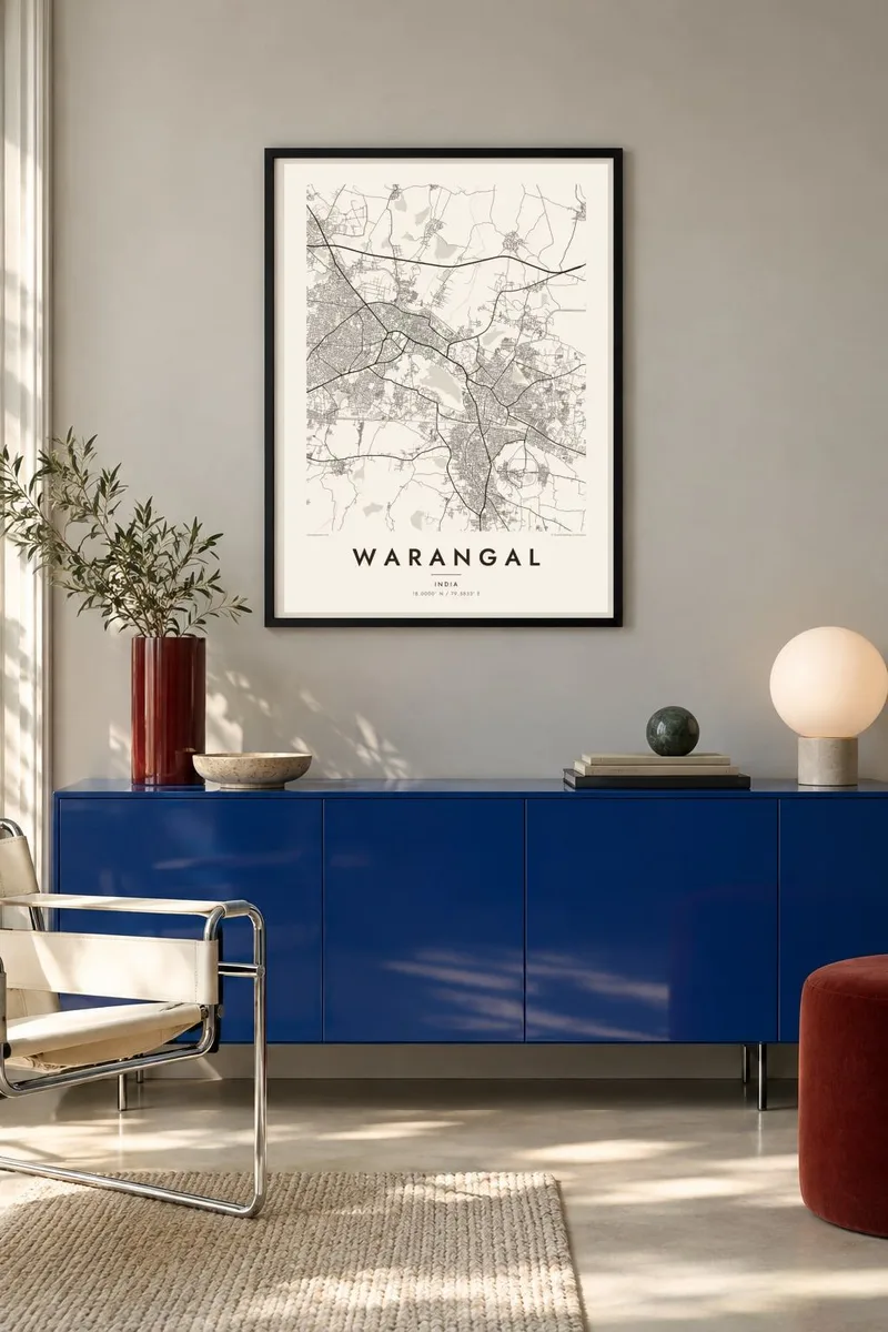
The concentric rings of Warangal Fort's earth and stone ramparts are still visible from above. They give the poster a rare, almost diagrammatic circle surrounded by irregular fields and streets.
Minimalist map poster · India
18.0000° N / 79.5833° E
Three merged towns spread among lakes and rocky hills, with the concentric rings of a medieval fort visible at their edge.

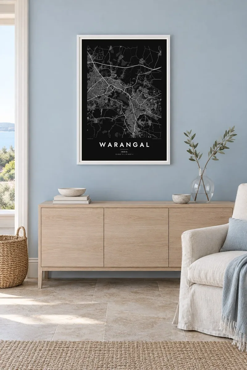
One city, five moods
Tap a style to see it on the wall. Every style costs the same — printed, framed or as HD files.
 Actual pixels · 24 × 36″ print file
Print-sharp
This is a 100% crop of the real print file. Every poster — printed, framed or downloaded — is rendered on our servers at 300 DPI, up to 7,200 × 10,800 pixels, so even the smallest lanes stay crisp on a 24 × 36″ print.
On the wall

The map
Warangal is really a joined-up urban area. Warangal proper, Hanamkonda and the railway town of Kazipet grew toward each other until their street networks merged. From above, the result is an irregular web of roads threaded between granite outcrops and water tanks, with Bhadrakali Lake and other reservoirs forming smooth shapes among the dense blocks.
The most striking feature on any map of the city is Warangal Fort. It was built under the Kakatiya dynasty, which ruled from here between the twelfth and fourteenth centuries, and it was laid out as concentric circular walls. Those rings still show clearly in the pattern of roads and fields. The fort's carved stone gateways, the Kakatiya Kala Thoranam, have become a symbol of Telangana.
In Hanamkonda, the Thousand Pillar Temple is another Kakatiya-era landmark, while Kazipet's rail junction pulls long tracks across the urban area. A Warangal map poster captures this layered geography of circular fortress, temple towns and railway lines. Everything is drawn in the same fine black line, so the historical shapes and the modern growth sit side by side.
The concentric rings of Warangal Fort's earth and stone ramparts are still visible from above. They give the poster a rare, almost diagrammatic circle surrounded by irregular fields and streets.
Bhadrakali Lake and other water tanks break up the built area with smooth, rounded outlines. They leave open spaces that balance the density of the surrounding neighbourhoods.
Kazipet is a major railway junction, and its tracks and yards cut long, gently curving lines through the tri-city area. They make a strong linear counterpoint to the fort's circles.
Make it yours
Add a date, a name or a line of your own, switch style, size or orientation.
The free preview is low-resolution with a watermark. Prints and HD files are rendered at 300 DPI, up to 7,200 × 10,800 px, without a watermark.
Why Warangal
Warangal is a city many people leave for study or work and still call home. A map that shows the fort, the lakes and the familiar roads between Hanamkonda and Kazipet is a grounded reminder of that place, without needing a single photograph.
You can set your own title and subtitle, and change the coordinates line to mark a house or a college. There are five styles, from Classic black & white and Noir to Paper, Blueprint and Sand, as instant HD downloads or printed posters.
Order the Warangal poster| Print size | Resolution | Files |
|---|---|---|
| 30 × 40 cm11.8 × 15.7″ | 3,543 × 4,724 px | PNG · PDF |
| 29.7 × 42 cm (A3)11.7 × 16.5″ | 3,508 × 4,961 px | PNG · PDF |
| 42 × 59.4 cm (A2)16.5 × 23.4″ | 4,961 × 7,016 px | PNG · PDF |
| 45.7 × 61 cm18 × 24″ | 5,400 × 7,200 px | PNG · PDF |
| 50 × 70 cm19.7 × 27.6″ | 5,906 × 8,268 px | PNG · PDF |
| 61 × 91.4 cm24 × 36″ | 7,200 × 10,800 px | PNG · PDF |
For comparison, the free preview is 900 px wide, watermarked and meant for screens. The HD files have up to 8× the resolution in each direction and print cleanly at full poster size.
Pick a style at the top of the page, then choose Printed Poster — a size and, if you like, a frame — or Digital HD Files. Checkout takes one step, and your order page updates as soon as the payment goes through.
It is printed on premium 200 gsm matte paper in one of six sizes, from 30 × 40 cm to 24 × 36″. Printed posters start at $39, shipping included.
Yes. Choose a solid wood frame in black, white, natural oak or dark wood. It comes with shatterproof glazing and is ready to hang. Framed posters start at $99, shipping included.
Shipping is free to 60+ countries. Each poster is printed by the nearest of our print partners in 30+ countries and usually arrives in 3–7 business days. You can follow the status and tracking under My Orders. A few countries take 2–5 weeks, and where we don't ship yet, the site tells you before you pay.
Send us a photo within 14 days of delivery and we will reprint it for free or refund you.
Yes. In the editor on this page, change the title, the subtitle and the coordinates line to anything you like, and pick a style and size. Printed, framed and digital orders all use exactly your design.
For $9 you get 300 DPI PNG and print-ready PDF files in all six sizes, without a watermark, to print anywhere. Not sure yet? Download a free watermarked preview first.
Nearby
