Liugong Island
The island sits across the mouth of the bay as a compact shape of coastline and paths, a natural focal point that anchors the whole composition.
Minimalist map poster · China
37.5091° N / 122.1136° E
A coastal city spread around a sheltered bay at the eastern tip of Shandong, with Liugong Island guarding the harbour.

One city, five moods
Tap a style to see it on the wall. Every style costs the same — printed, framed or as HD files.
 Actual pixels · 24 × 36″ print file
Print-sharp
This is a 100% crop of the real print file. Every poster — printed, framed or downloaded — is rendered on our servers at 300 DPI, up to 7,200 × 10,800 pixels, so even the smallest lanes stay crisp on a 24 × 36″ print.
On the wall

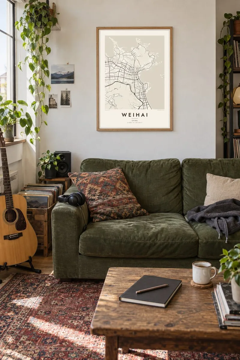
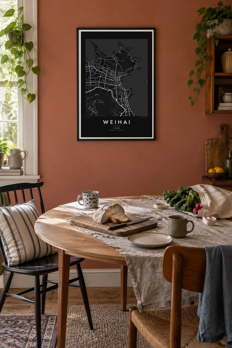
The map
Weihai sits near the easternmost point of the Shandong Peninsula, where the land pushes out into the Yellow Sea. From above, the city curls around a broad bay, with low hills rising behind the waterfront and a long, indented coastline of beaches, headlands and small harbours stretching in both directions. The street network follows this terrain, running along the shore and threading between the hills.
Just offshore lies Liugong Island, once the base of the late Qing Beiyang Fleet and the scene of the Battle of Weihaiwei in 1895. Soon after, the area was leased to Britain as Weihaiwei and returned to China in 1930. Today the island is a museum and park, and the city is known for its clean air, seafood and ferry links to Korea.
A Weihai map poster brings the coastline to the front: the curve of the bay, the island floating in open space, the piers and breakwaters, and the city streets pressed between sea and hills. It is a map in which water takes as much of the frame as land, which gives the print an open and quiet feel.
The island sits across the mouth of the bay as a compact shape of coastline and paths, a natural focal point that anchors the whole composition.
Beyond the harbour the shore breaks into coves, sandy beaches and rocky capes, giving the edges of the map a long, detailed outline against the sea.
Green hills rise directly behind the waterfront, so the street grid bends and narrows inland, following valleys rather than a single regular plan.
Make it yours
Add a date, a name or a line of your own, switch style, size or orientation.
The free preview is low-resolution with a watermark. Prints and HD files are rendered at 300 DPI, up to 7,200 × 10,800 px, without a watermark.
Why Weihai
Weihai appeals to anyone who has lived by the Yellow Sea, studied at one of its universities or visited for the coast. A map centred on the bay is simple and restful, well suited to a bedroom, a living room or a workspace.
The title, subtitle and coordinates line can all be changed, so the poster can mark a move, a trip or a meaningful date. Choose Classic black & white, Noir, Paper, Blueprint or Sand, as a digital file or a matte printed poster.
Order the Weihai poster| Print size | Resolution | Files |
|---|---|---|
| 30 × 40 cm11.8 × 15.7″ | 3,543 × 4,724 px | PNG · PDF |
| 29.7 × 42 cm (A3)11.7 × 16.5″ | 3,508 × 4,961 px | PNG · PDF |
| 42 × 59.4 cm (A2)16.5 × 23.4″ | 4,961 × 7,016 px | PNG · PDF |
| 45.7 × 61 cm18 × 24″ | 5,400 × 7,200 px | PNG · PDF |
| 50 × 70 cm19.7 × 27.6″ | 5,906 × 8,268 px | PNG · PDF |
| 61 × 91.4 cm24 × 36″ | 7,200 × 10,800 px | PNG · PDF |
For comparison, the free preview is 900 px wide, watermarked and meant for screens. The HD files have up to 8× the resolution in each direction and print cleanly at full poster size.
Pick a style at the top of the page, then choose Printed Poster — a size and, if you like, a frame — or Digital HD Files. Checkout takes one step, and your order page updates as soon as the payment goes through.
It is printed on premium 200 gsm matte paper in one of six sizes, from 30 × 40 cm to 24 × 36″. Printed posters start at $39, shipping included.
Yes. Choose a solid wood frame in black, white, natural oak or dark wood. It comes with shatterproof glazing and is ready to hang. Framed posters start at $99, shipping included.
Shipping is free to 60+ countries. Each poster is printed by the nearest of our print partners in 30+ countries and usually arrives in 3–7 business days. You can follow the status and tracking under My Orders. A few countries take 2–5 weeks, and where we don't ship yet, the site tells you before you pay.
Send us a photo within 14 days of delivery and we will reprint it for free or refund you.
Yes. In the editor on this page, change the title, the subtitle and the coordinates line to anything you like, and pick a style and size. Printed, framed and digital orders all use exactly your design.
For $9 you get 300 DPI PNG and print-ready PDF files in all six sizes, without a watermark, to print anywhere. Not sure yet? Download a free watermarked preview first.
Nearby
