Atlantic shoreline
Winneba's southern edge is open Gulf of Guinea coast. On the print it appears as a long, calm line against which the town's streets end abruptly.
Minimalist map poster · Ghana
5.3511° N / 0.6231° W
A coastal town on Ghana's Central Region shore, set between the Atlantic beaches, a river mouth and open lagoon country
One city, five moods
Tap a style to see it on the wall. Every style costs the same — printed, framed or as HD files.
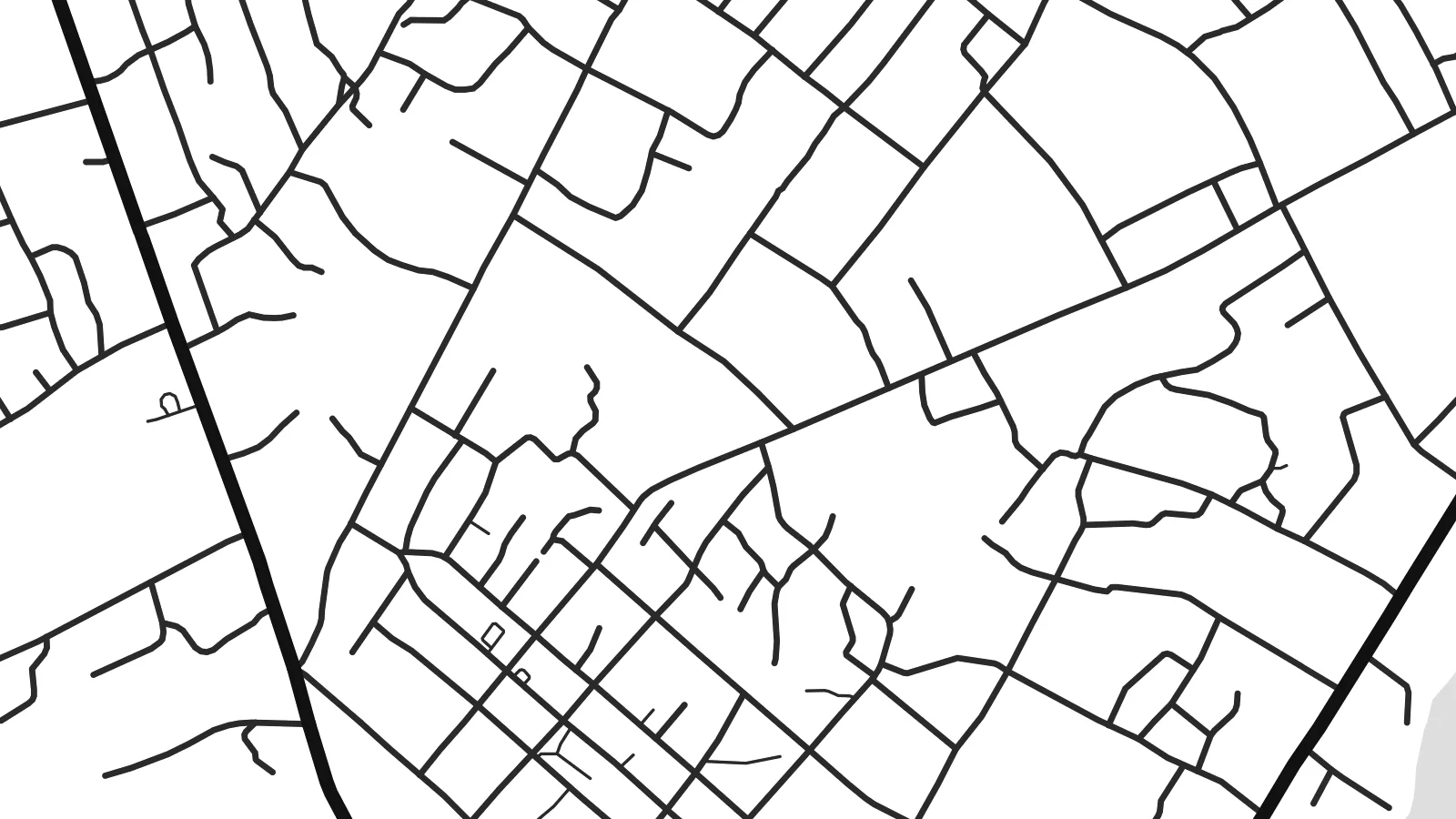 Actual pixels · 24 × 36″ print file
Print-sharp
This is a 100% crop of the real print file. Every poster — printed, framed or downloaded — is rendered on our servers at 300 DPI, up to 7,200 × 10,800 pixels, so even the smallest lanes stay crisp on a 24 × 36″ print.
On the wall


The map
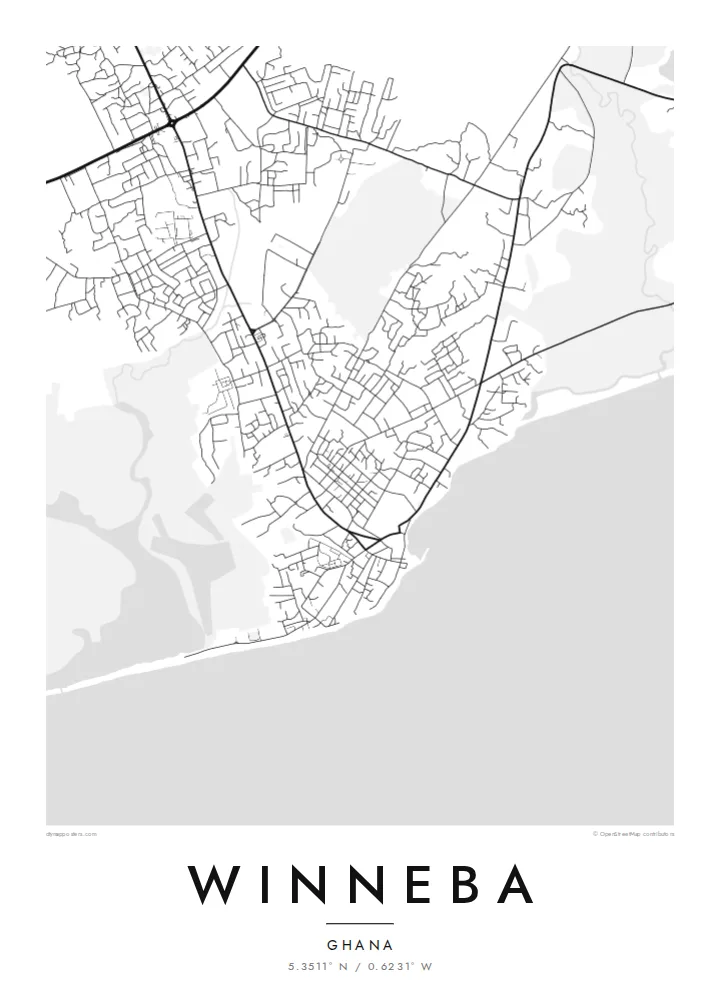
Winneba lies on the Gulf of Guinea coast, west of Accra, and its map is shaped by water. The town spreads back from a stretch of Atlantic shoreline. On one side the Ayensu River reaches the sea, and on the other the Muni Lagoon wetlands spread out. Between them the streets form an irregular mesh of neighbourhood lanes, markets and longer roads leading inland.
The town is widely known for two things. The University of Education, Winneba, a major teacher-training institution with several campuses, gives parts of the map broad institutional grounds. The Aboakyer festival, in which Effutu warrior groups hunt a live deer, is one of the best-known traditional festivals in Ghana.
A Winneba map poster turns this setting into a balanced composition. The coastline runs across the bottom of the sheet, the lagoon and river break the edges into soft shapes, and the town's close-set streets fill the middle. It shows a place that grew between sea, river and wetland, and that orientation to water comes through clearly in black and white.
Winneba's southern edge is open Gulf of Guinea coast. On the print it appears as a long, calm line against which the town's streets end abruptly.
West of the town, the Muni Lagoon and its surrounding wetlands form a protected coastal area. They show up as a broad, pale shape that gives the map breathing room.
The campuses of the University of Education are larger, more open blocks within the denser town fabric. Their internal roads trace a more regular pattern than the older lanes nearby.
Make it yours
Add a date, a name or a line of your own, switch style, size or orientation.
The free preview is low-resolution with a watermark. Prints and HD files are rendered at 300 DPI, up to 7,200 × 10,800 px, without a watermark.
Why Winneba
Winneba means different things to different people: a university town for graduates, a festival town for the Effutu, a stretch of coast for visitors. A map print holds all of that without choosing, and works as a gift for a graduate or a reminder of home for someone abroad.
Personalise the title, subtitle and coordinates, perhaps with a graduation year, and pick Classic black & white, Noir, Paper, Blueprint or Sand. A free 900 px watermarked preview lets you check the framing before buying the $9 HD files or a printed poster.
Order the Winneba poster| Print size | Resolution | Files |
|---|---|---|
| 30 × 40 cm11.8 × 15.7″ | 3,543 × 4,724 px | PNG · PDF |
| 29.7 × 42 cm (A3)11.7 × 16.5″ | 3,508 × 4,961 px | PNG · PDF |
| 42 × 59.4 cm (A2)16.5 × 23.4″ | 4,961 × 7,016 px | PNG · PDF |
| 45.7 × 61 cm18 × 24″ | 5,400 × 7,200 px | PNG · PDF |
| 50 × 70 cm19.7 × 27.6″ | 5,906 × 8,268 px | PNG · PDF |
| 61 × 91.4 cm24 × 36″ | 7,200 × 10,800 px | PNG · PDF |
For comparison, the free preview is 900 px wide, watermarked and meant for screens. The HD files have up to 8× the resolution in each direction and print cleanly at full poster size.
Pick a style at the top of the page, then choose Printed Poster — a size and, if you like, a frame — or Digital HD Files. Checkout takes one step, and your order page updates as soon as the payment goes through.
It is printed on premium 200 gsm matte paper in one of six sizes, from 30 × 40 cm to 24 × 36″. Printed posters start at $39, shipping included.
Yes. Choose a solid wood frame in black, white, natural oak or dark wood. It comes with shatterproof glazing and is ready to hang. Framed posters start at $99, shipping included.
Shipping is free to 60+ countries. Each poster is printed by the nearest of our print partners in 30+ countries and usually arrives in 3–7 business days. You can follow the status and tracking under My Orders. A few countries take 2–5 weeks, and where we don't ship yet, the site tells you before you pay.
Send us a photo within 14 days of delivery and we will reprint it for free or refund you.
Yes. In the editor on this page, change the title, the subtitle and the coordinates line to anything you like, and pick a style and size. Printed, framed and digital orders all use exactly your design.
For $9 you get 300 DPI PNG and print-ready PDF files in all six sizes, without a watermark, to print anywhere. Not sure yet? Download a free watermarked preview first.
Nearby
