The river confluence
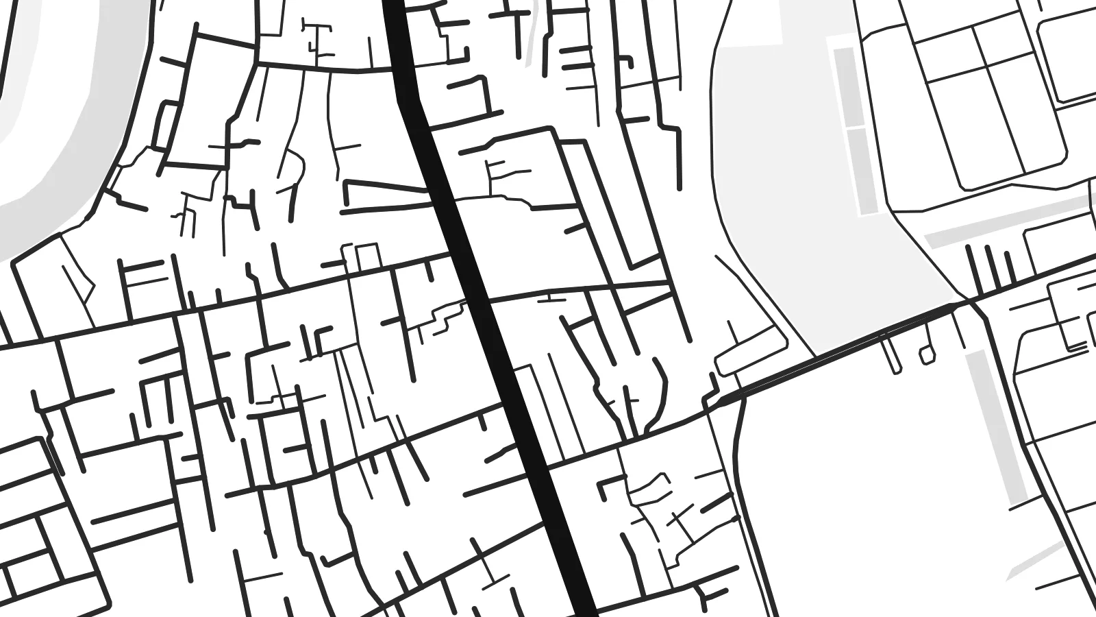
The Saigon and Đồng Nai rivers merge here to form the Nhà Bè river. Two broad channels become one in a wide bend that dominates the upper part of the map.
Ata mapa faigafua · Vietnam
10.6967° N / 106.7403° E
Low, water-laced ground on Ho Chi Minh City's southern edge, where great rivers meet and turn toward the sea


Kolo e tahi, lanu e nima
Tuki he sitaili ke sio ai ʻi te holo. ʻE tatau pē te totogi ʻo te sitaili fuli pē — mokā tā, fakakātoa, peʻe ko he ʻu faila HD.
 Ngaahi pikiseli moʻoni · faila tā 24 × 36″
Mahino lelei ki te pulūti
Ko he konga 100% ʻo te faila tā moʻoni ʻaeni. Ko te ʻu posita fuli pē — mokā tā, fakakātoa peʻe download — ʻe fakatupu ʻi ʻomātou seva ʻi te 300 DPI, aʻu ki te 7,200 × 10,800 pikiseli, koia ʻe nofo mahino ai te ʻu ala liliki ʻi he tā 24 × 36″.
ʻI Te Puipui


Te mapa
Nhà Bè lies at the southern edge of Ho Chi Minh City, and from above it looks more like water than land. Here the Saigon and Đồng Nai rivers join to form the Nhà Bè river. Just south, the wide channels of the Soài Rạp and Lòng Tàu begin their run toward the coast. The settled areas follow the embankments and main roads, and between them lie fingers of low, flat ground cut by creeks.
The street pattern is loose and practical. There is no old grid or walled core. Instead you see long roads running parallel to the riverbanks, short lanes branching off toward the water, and blocks of warehouses and industrial land toward the south. Small canals and tidal creeks weave through everything. On a Nhà Bè map poster they appear as fine, irregular threads between the heavier outlines of the main rivers.
The river confluence has long made this a place of shipping and trade. Vessels bound for the city's ports pass through these channels, and the area's industry still leans toward the water. On a monochrome print, the district's fragmented land and broad river bends make an unusual composition. It feels closer to a delta chart than to a city plan, which is exactly its character.
The Saigon and Đồng Nai rivers merge here to form the Nhà Bè river. Two broad channels become one in a wide bend that dominates the upper part of the map.
A dense web of small creeks and canals crosses the low ground between the main rivers. It produces a fine, hand-drawn texture that sets Nhà Bè apart from the denser inner districts.
To the south, the waterways open toward the Soài Rạp and the coast. Their long, widening lines carry the eye out of the frame and hint at the delta beyond.
Faʻu ke ʻau ʻa ʻau
Tuku he ʻaho, he hingoa peʻe he kiʻi palalau ʻa ʻau, fetogi te faʻahiga, te lahi peʻe te hake.
Ko te faʻata fua noa ʻe māʻulalo hono lelei pea ʻe ʻi ai he fakaʻilonga. Ko te ʻu tā mo te ʻu faila HD ʻe fakatupu ʻi te 300 DPI, aʻu ki te 7,200 × 10,800 px, ʻe mole ʻi ai he fakaʻilonga.
Koteā ko Nhà Bè
This map suits anyone who has lived, worked or grown up along Saigon's southern rivers, or anyone who likes maps where water leads the composition. The irregular shapes feel calm on a wall and pair well with plain interiors and natural materials.
You can personalise the title and subtitle, including Vietnamese diacritics, and use the coordinates line for a date or a home address. Five styles are available: Classic black & white, Noir, Paper, Blueprint and Sand. Noir makes the channels glow, and Sand gives the delta a warmer tone.
Fakatau te posita Nhà Bè| Lahi ʻo te pulūti | Mahino | Faile |
|---|---|---|
| 30 × 40 cm11.8 × 15.7″ | 3,543 × 4,724 px | PNG · PDF |
| 29.7 × 42 cm (A3)11.7 × 16.5″ | 3,508 × 4,961 px | PNG · PDF |
| 42 × 59.4 cm (A2)16.5 × 23.4″ | 4,961 × 7,016 px | PNG · PDF |
| 45.7 × 61 cm18 × 24″ | 5,400 × 7,200 px | PNG · PDF |
| 50 × 70 cm19.7 × 27.6″ | 5,906 × 8,268 px | PNG · PDF |
| 61 × 91.4 cm24 × 36″ | 7,200 × 10,800 px | PNG · PDF |
Ko te ata ʻe mole totogi ʻe 900 px tona laulahi, mo te fakaʻilonga, ki te sioʻata pē. Ko te ʻu faile HD ʻe aʻu ki te liuga 8 tona mahino, pea ʻe pulūti lelei ʻi te lahi kātoa.
Fili he sitaili ʻi te tuʻa ʻo te pasina, pea fili leva te Posita Tā — he lahi pea, kapau ʻe ke loto ai, he fakakātoa — peʻe ko te ʻu Faila HD Fakakomipiuta. ʻE tahi pē te sitepu ʻo te totogi, pea ʻe fakafou fakavavevave pē tau pasina fakatau mai te taimi ʻe fai ai te totogi.
ʻE tā ʻi he pepa lelei ʻaupito 200 gsm matte, ʻi he tahi ʻo te ono lahi, mai te 30 × 40 cm ki te 24 × 36″. ʻE kamata te ʻu posita tā ʻi te $39, kātoa mo te ʻave.
ʻIo. Fili he fakakātoa ʻakau moʻoni ʻi te kili, hinahina, ʻakau natula peʻe ʻakau ʻuliʻuli. ʻE ʻi ai mo he sioga mālohi ʻe mole mafesi, pea kua teu ke tautau. ʻE kamata te ʻu posita fakakātoa ʻi te $99, kātoa mo te ʻave.
Ko te fakahoko e mole totogi ki te ʼu fenua e 60+. Ko te pōsita taki taha ʼe tā e te tahi ʼo ʼemau ʼu kaufakalogo tā ʼe ofi mai, ʼi te ʼu fenua e 30+, pea ʼe hoko mai ʼi te ʼu ʼaho gaue e 3–7. ʼE feala hau ke ke vakaʼi te tuʼunga mo te tracking ʼi Oku Fakamaʼu. ʼE ʼi ai te ʼu fenua ʼe 2–5 te ʼu vaiaho, pea ʼi te ʼu fenua ʼaē ʼe heʼeki tou fakahoko ki ai, ʼe fakahā e te saite ʼi muʼa ʼo tau totogi.
Fekau mai he ʻata ʻi loto ʻi te ʻaho e 14 talu mai te aʻu mai, pea mātou toe tā noa peʻe toe totogi atu.
ʻIo. ʻI te meʻa fakatonutonu ʻi te pasina ʻaeni, fetogi te kupu tāfito, te kupu lalo pea mo te laina koʻoliteti ki he meʻa fuli pē ʻe ke loto ai, pea fili he sitaili mo he lahi. Ko te ʻu fakatau tā, fakakātoa mo fakakomipiuta ʻe fakaʻaogaʻi katoa pē tou fakatātā.
Mo te $9 ʻe ke maʻu ai te ʻu faila PNG 300 DPI mo PDF kua teu ke tā, ʻi te ono lahi kātoa, ʻe mole ʻi ai he fakaʻilonga, ke ke tā ai ʻi soʻo he potu. Kei tā fakafiafia? Download muʻa he faʻata mokā mo he fakaʻilonga, ʻe fua noa.
