Highway corridors
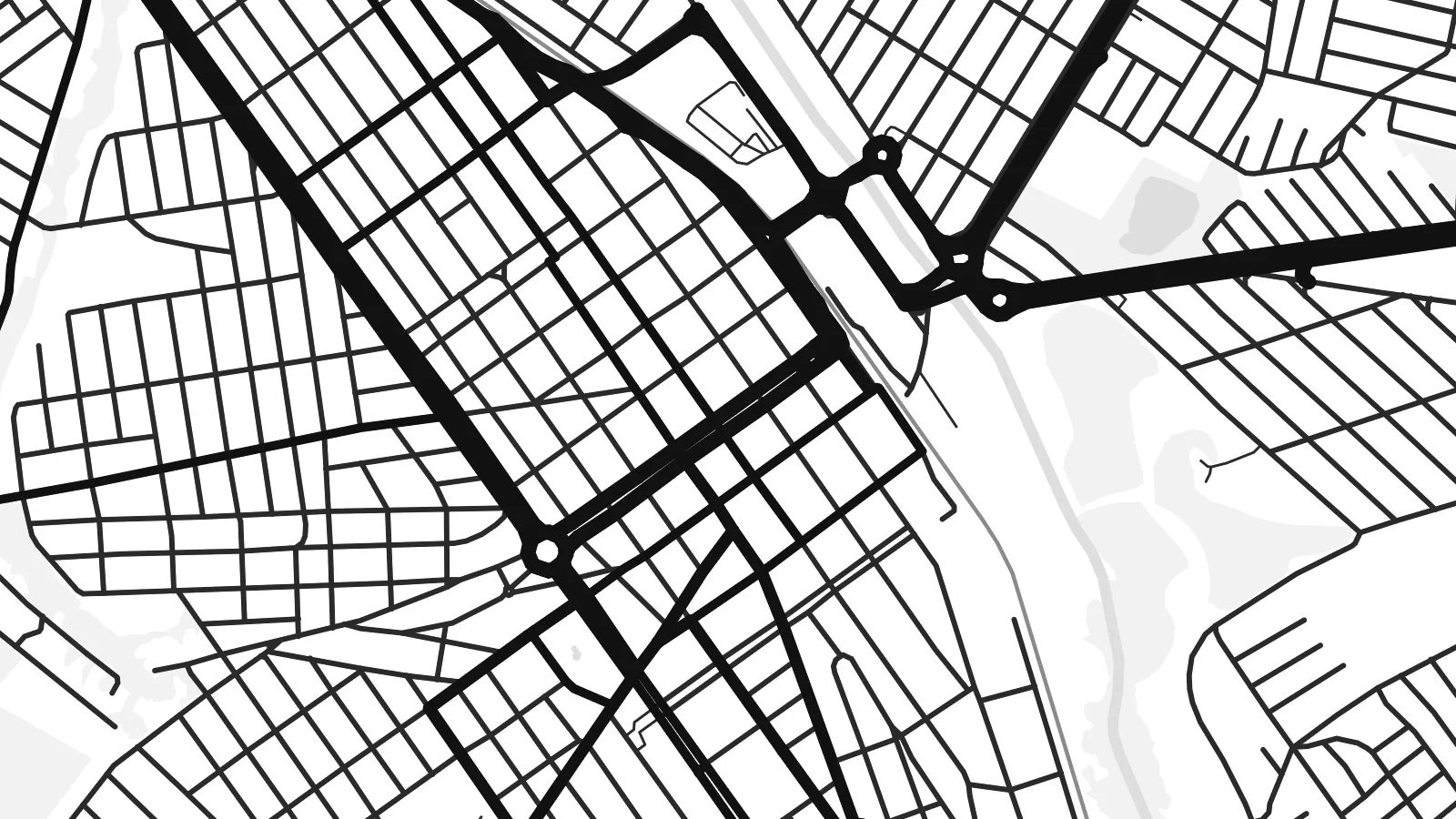
Large roads cut across the municipality, splitting the city into distinct sectors and drawing industrial plants and warehouses along their edges.
Ata mapa faigafua · Brazil
22.8219° S / 47.2669° W
A spread of neighbourhoods on rolling ground west of Campinas, crossed by major highways and industrial belts


Kolo e tahi, lanu e nima
Tuki he sitaili ke sio ai ʻi te holo. ʻE tatau pē te totogi ʻo te sitaili fuli pē — mokā tā, fakakātoa, peʻe ko he ʻu faila HD.
 Ngaahi pikiseli moʻoni · faila tā 24 × 36″
Mahino lelei ki te pulūti
Ko he konga 100% ʻo te faila tā moʻoni ʻaeni. Ko te ʻu posita fuli pē — mokā tā, fakakātoa peʻe download — ʻe fakatupu ʻi ʻomātou seva ʻi te 300 DPI, aʻu ki te 7,200 × 10,800 pikiseli, koia ʻe nofo mahino ai te ʻu ala liliki ʻi he tā 24 × 36″.
ʻI Te Puipui


Te mapa
Sumaré lies in the metropolitan region of Campinas, in the interior of São Paulo state. From above it looks less like a single town than a collection of neighbourhoods scattered across gently rolling land, joined by arterial roads and separated by streams, pockets of green and industrial sites. Major highways pass through the municipality, and they define much of how the map is divided.
The city grew rapidly in the second half of the twentieth century as industry spread outward from Campinas along the highway corridors. Its original centre is small compared with the residential districts that followed. Today Sumaré is closely tied to neighbouring towns, with urban areas that run into one another across municipal boundaries, so its edges are often felt rather than seen.
A Sumaré map poster gives shape to a place that is easy to drive through without ever seeing whole. Files are $9 and cover six print sizes, including A3 and 50×70 cm, each as a 300 DPI PNG and print-ready PDF without a watermark, or you can order a printed poster on matte paper.
Large roads cut across the municipality, splitting the city into distinct sectors and drawing industrial plants and warehouses along their edges.
Residential districts appear as separate clusters of streets, each with its own small grid, linked by a few main roads across open ground.
The original town core is compact, with a denser pattern of short blocks that marks where Sumaré first grew before the later expansion.
Faʻu ke ʻau ʻa ʻau
Tuku he ʻaho, he hingoa peʻe he kiʻi palalau ʻa ʻau, fetogi te faʻahiga, te lahi peʻe te hake.
Ko te faʻata fua noa ʻe māʻulalo hono lelei pea ʻe ʻi ai he fakaʻilonga. Ko te ʻu tā mo te ʻu faila HD ʻe fakatupu ʻi te 300 DPI, aʻu ki te 7,200 × 10,800 px, ʻe mole ʻi ai he fakaʻilonga.
Koteā ko Sumaré
Sumaré is home to many families who arrived for work and stayed, and to people who commute daily across the Campinas region. A map of the city marks the place where that life actually happens, not just the larger city next door.
The poster can carry a custom title, a subtitle with a neighbourhood or year, and your own coordinates line. Pick Classic black & white, Noir, Paper, Blueprint or Sand to match the room it will hang in.
Fakatau te posita Sumaré| Lahi ʻo te pulūti | Mahino | Faile |
|---|---|---|
| 30 × 40 cm (11.8 × 15.7″) | 3,543 × 4,724 px | PNG · PDF |
| 29.7 × 42 cm (A3, 11.7 × 16.5″) | 3,508 × 4,961 px | PNG · PDF |
| 42 × 59.4 cm (A2, 16.5 × 23.4″) | 4,961 × 7,016 px | PNG · PDF |
| 45.7 × 61 cm (18 × 24″) | 5,400 × 7,200 px | PNG · PDF |
| 50 × 70 cm (19.7 × 27.6″) | 5,906 × 8,268 px | PNG · PDF |
| 61 × 91.4 cm (24 × 36″) | 7,200 × 10,800 px | PNG · PDF |
Ko te ata ʻe mole totogi ʻe 900 px tona laulahi, mo te fakaʻilonga, ki te sioʻata pē. Ko te ʻu faile HD ʻe aʻu ki te liuga 8 tona mahino, pea ʻe pulūti lelei ʻi te lahi kātoa.
Fili he sitaili ʻi te tuʻa ʻo te pasina, pea fili leva te Posita Tā — he lahi pea, kapau ʻe ke loto ai, he fakakātoa — peʻe ko te ʻu Faila HD Fakakomipiuta. ʻE tahi pē te sitepu ʻo te totogi, pea ʻe fakafou fakavavevave pē tau pasina fakatau mai te taimi ʻe fai ai te totogi.
ʻE tā ʻi he pepa lelei ʻaupito 200 gsm matte, ʻi he tahi ʻo te ono lahi, mai te 30 × 40 cm ki te 24 × 36″. ʻE kamata te ʻu posita tā ʻi te {printFrom}, kātoa mo te ʻave.
ʻIo. Fili he fakakātoa ʻakau moʻoni ʻi te kili, hinahina, ʻakau natula peʻe ʻakau ʻuliʻuli. ʻE ʻi ai mo he sioga mālohi ʻe mole mafesi, pea kua teu ke tautau. ʻE kamata te ʻu posita fakakātoa ʻi te {framedFrom}, kātoa mo te ʻave.
Ko te ʻave ʻe tuʻa totogi ʻi te malamanei katoa. Ko te pōsita ʻe tā e te kaumeʻa tā ʻoku ofi taha ʻi fenua e 30+, pea ʻe aʻu mai ʻi ʻaho gāue e 3–7. ʻE lava ke ke sivi te tuʻunga mo te tulitaki ʻi lalo ʻo Aku ʻōta. ʻE ʻi ai ni fenua ʻe uike e 2–5, pea ʻi te ʻu fenua ʻe mole te ʻave ki ai, ʻe fakahā e te sitē ʻi muʻa ʻo te totogi.
Fekau mai he ʻata ʻi loto ʻi te ʻaho e 14 talu mai te aʻu mai, pea mātou toe tā noa peʻe toe totogi atu.
ʻIo. ʻI te meʻa fakatonutonu ʻi te pasina ʻaeni, fetogi te kupu tāfito, te kupu lalo pea mo te laina koʻoliteti ki he meʻa fuli pē ʻe ke loto ai, pea fili he sitaili mo he lahi. Ko te ʻu fakatau tā, fakakātoa mo fakakomipiuta ʻe fakaʻaogaʻi katoa pē tou fakatātā.
Mo te $9 ʻe ke maʻu ai te ʻu faila PNG 300 DPI mo PDF kua teu ke tā, ʻi te ono lahi kātoa, ʻe mole ʻi ai he fakaʻilonga, ke ke tā ai ʻi soʻo he potu. Kei tā fakafiafia? Download muʻa he faʻata mokā mo he fakaʻilonga, ʻe fua noa.
