Border as street edge
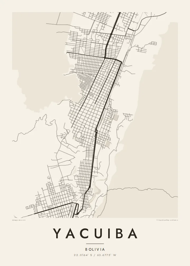
The frontier with Argentina runs along the southern side of town, and the urban fabric continues across it, so the map shows two towns meeting almost without a gap.
Minimalist map poster · Bolivia
A frontier town on Bolivia's southern edge, its streets pressed against the border with Argentina below the first Andean foothills.
22.0164° S / 63.6775° W



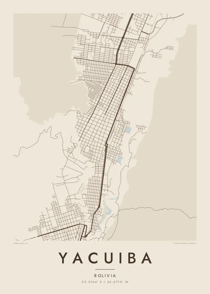
One city, five moods
Tap a style to see it on the wall. Every style is included in the same $9 price.
 Actual pixels · 24 × 36″ HD file
Print-sharp
This is a crop of the real HD file at 100%. The paid download is rendered on our servers at 300 DPI, up to 7,200 × 10,800 pixels, so even the smallest lanes stay crisp on a 24 × 36″ print.
The map
Yacuiba lies at the far southern tip of Bolivia, in the Gran Chaco province of Tarija Department, right on the border with Argentina. On a map the town reads as a compact block of streets that runs almost directly into its Argentine neighbour, so that the international line becomes just another street edge rather than an open stretch of country.
To the west the land starts rising toward the foothills of the Andes, while to the east it flattens into the dry scrub of the Chaco. Yacuiba grew as a crossing and trading point, and its layout shows that role: roads converge on the frontier, and commercial streets gather near the crossing, where people and goods move between the two countries every day.
A Yacuiba map poster captures a town shaped by a line on the map. The dense grid around the centre, the roads leaving north into Bolivia and south into Argentina, and the looser outskirts fading into open land make a quiet, readable composition, clearly different from anything you would see in a larger capital.
The frontier with Argentina runs along the southern side of town, and the urban fabric continues across it, so the map shows two towns meeting almost without a gap.
The core of Yacuiba follows a regular pattern of blocks, a familiar Latin American layout that gives the centre of the poster a steady, even texture.
West of the town the terrain begins climbing toward the Andean foothills, and the streets thin out as the land changes from plain to rising ground.
Make it yours
Add a date, a name or a line of your own, switch style, size or orientation.
Free preview is low-resolution with a watermark. The HD version is 7,200 × 10,800 px, 300 DPI, no watermark.
Why Yacuiba
Yacuiba is a place many people pass through and some never leave. A map of it makes sense for anyone with family on either side of the border, or for someone who remembers the town as the start or end of a long journey.
Personalise the title, subtitle and coordinates line, perhaps with a family name or the year you arrived. Then choose Classic black & white, Noir, Paper, Blueprint or Sand to suit the wall where it will hang.
Get the Yacuiba poster — $9| Print size | Resolution | Files |
|---|---|---|
| 30 × 40 cm (11.8 × 15.7″) | 3,543 × 4,724 px | PNG · PDF |
| 50 × 70 cm (19.7 × 27.6″) | 5,906 × 8,268 px | PNG · PDF |
| 29.7 × 42 cm (A3, 11.7 × 16.5″) | 3,508 × 4,961 px | PNG · PDF |
| 42 × 59.4 cm (A2, 16.5 × 23.4″) | 4,961 × 7,016 px | PNG · PDF |
| 45.7 × 61 cm (18 × 24″) | 5,400 × 7,200 px | PNG · PDF |
| 61 × 91.4 cm (24 × 36″) | 7,200 × 10,800 px | PNG · PDF |
For comparison, the free preview is 900 px wide, watermarked and meant for screens. The HD files have up to 8× the resolution in each direction and print cleanly at full poster size.
Yes. Drag and zoom the map in the editor — centre it on your neighbourhood, the old town or the whole metro area. The text updates independently.
The HD purchase includes 30×40 cm, 50×70 cm, A3, A2, 18×24″ and 24×36″, each as a 300 DPI PNG and a print-ready PDF.
You can download a free 900 px preview with a watermark. The paid HD files have no watermark and are sharp enough for large prints.
Send the PDF to any local print shop or online printing service and ask for the matching paper size. Matte paper and a thin black or oak frame suit this style best.
Nearby
