River Bóbr
The river crosses the town in broad curves, with bridges carrying the main streets across. It divides the map clearly and gives the composition its main line.
Minimalist map poster · Poland
51.6176° N / 15.3149° E
A Silesian town on the river Bóbr, with a baroque palace park and a compact old centre

One city, five moods
Tap a style to see it on the wall. Every style costs the same — printed, framed or as HD files.
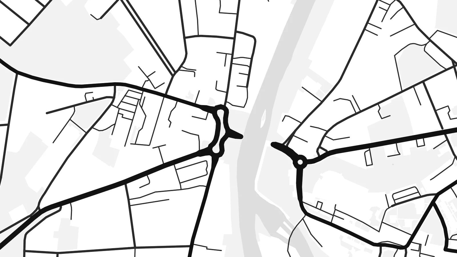 Actual pixels · 24 × 36″ print file
Print-sharp
This is a 100% crop of the real print file. Every poster — printed, framed or downloaded — is rendered on our servers at 300 DPI, up to 7,200 × 10,800 pixels, so even the smallest lanes stay crisp on a 24 × 36″ print.
On the wall

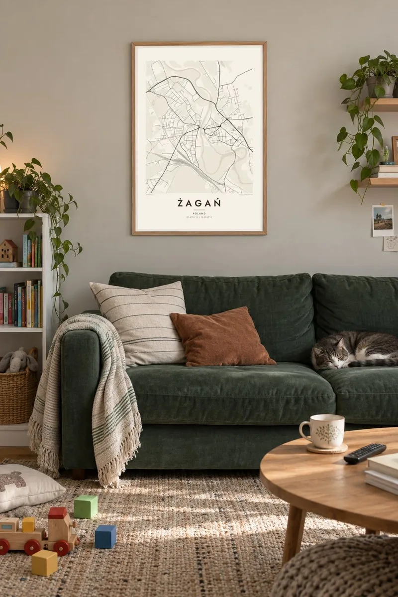
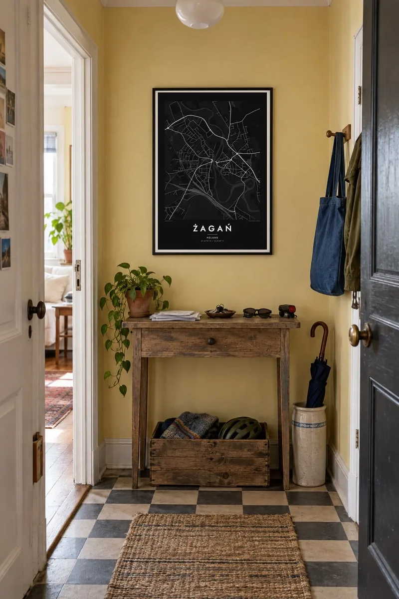
The map
Żagań lies in Lubusz Voivodeship in western Poland, in the historic region of Lower Silesia. The river Bóbr runs through the town and is joined nearby by the Czerna. On a map the old town sits on the river's bank, a compact cluster of streets around the market square. Bridges link it to districts on the opposite side.
Beside the old town, the grounds of the baroque palace form a large, well-defined area. They include a park with formal paths and old trees stretching along the river. The palace was the seat of the Duchy of Sagan, whose owners included Albrecht von Wallenstein. Johannes Kepler also worked in the town. In the Second World War, Stalag Luft III stood in the woods south of the town. It was the prison camp of the Great Escape.
A Żagań map poster shows the river, the old centre and the palace park fitting closely together. Railway lines and roads radiate to the rest of Lubusz. Forest covers much of the surrounding land, and its dark edges frame the town.
The river crosses the town in broad curves, with bridges carrying the main streets across. It divides the map clearly and gives the composition its main line.
Next to the old town, the palace grounds and landscaped park form a large green space along the river. Formal paths and avenues are visible inside.
Around the market square, a small network of short, irregular streets forms the historic centre. It is the densest part of the map, close to the river.
Make it yours
Add a date, a name or a line of your own, switch style, size or orientation.
The free preview is low-resolution with a watermark. Prints and HD files are rendered at 300 DPI, up to 7,200 × 10,800 px, without a watermark.
Why Żagań
Żagań has meaning for many people: residents, descendants of families who once lived there, and those interested in the history of Stalag Luft III. The map shows the town clearly and without comment, with the river and palace at its centre.
Add your own title, subtitle or date, and choose one of five styles: Classic black and white, Noir, Paper, Blueprint or Sand. The $9 download includes 300 DPI PNG and PDF files. A printed version on matte paper can be ordered with a wooden frame.
Order the Żagań poster| Print size | Resolution | Files |
|---|---|---|
| 30 × 40 cm11.8 × 15.7″ | 3,543 × 4,724 px | PNG · PDF |
| 29.7 × 42 cm (A3)11.7 × 16.5″ | 3,508 × 4,961 px | PNG · PDF |
| 42 × 59.4 cm (A2)16.5 × 23.4″ | 4,961 × 7,016 px | PNG · PDF |
| 45.7 × 61 cm18 × 24″ | 5,400 × 7,200 px | PNG · PDF |
| 50 × 70 cm19.7 × 27.6″ | 5,906 × 8,268 px | PNG · PDF |
| 61 × 91.4 cm24 × 36″ | 7,200 × 10,800 px | PNG · PDF |
For comparison, the free preview is 900 px wide, watermarked and meant for screens. The HD files have up to 8× the resolution in each direction and print cleanly at full poster size.
Pick a style at the top of the page, then choose Printed Poster — a size and, if you like, a frame — or Digital HD Files. Checkout takes one step, and your order page updates as soon as the payment goes through.
It is printed on premium 200 gsm matte paper in one of six sizes, from 30 × 40 cm to 24 × 36″. Printed posters start at $39, shipping included.
Yes. Choose a solid wood frame in black, white, natural oak or dark wood. It comes with shatterproof glazing and is ready to hang. Framed posters start at $99, shipping included.
Shipping is free to 60+ countries. Each poster is printed by the nearest of our print partners in 30+ countries and usually arrives in 3–7 business days. You can follow the status and tracking under My Orders. A few countries take 2–5 weeks, and where we don't ship yet, the site tells you before you pay.
Send us a photo within 14 days of delivery and we will reprint it for free or refund you.
Yes. In the editor on this page, change the title, the subtitle and the coordinates line to anything you like, and pick a style and size. Printed, framed and digital orders all use exactly your design.
For $9 you get 300 DPI PNG and print-ready PDF files in all six sizes, without a watermark, to print anywhere. Not sure yet? Download a free watermarked preview first.
Nearby
