Border street
The Nieuwstraat and Neustraße form one street split lengthwise by the national border, a rare feature that shows how closely the two towns are joined.
Minimalist map poster · Netherlands
50.8658° N / 6.0625° E
A former mining town on the Dutch-German border, where one street is shared with Herzogenrath

One city, five moods
Tap a style to see it on the wall. Every style costs the same — printed, framed or as HD files.
 Actual pixels · 24 × 36″ print file
Print-sharp
This is a 100% crop of the real print file. Every poster — printed, framed or downloaded — is rendered on our servers at 300 DPI, up to 7,200 × 10,800 pixels, so even the smallest lanes stay crisp on a 24 × 36″ print.
On the wall

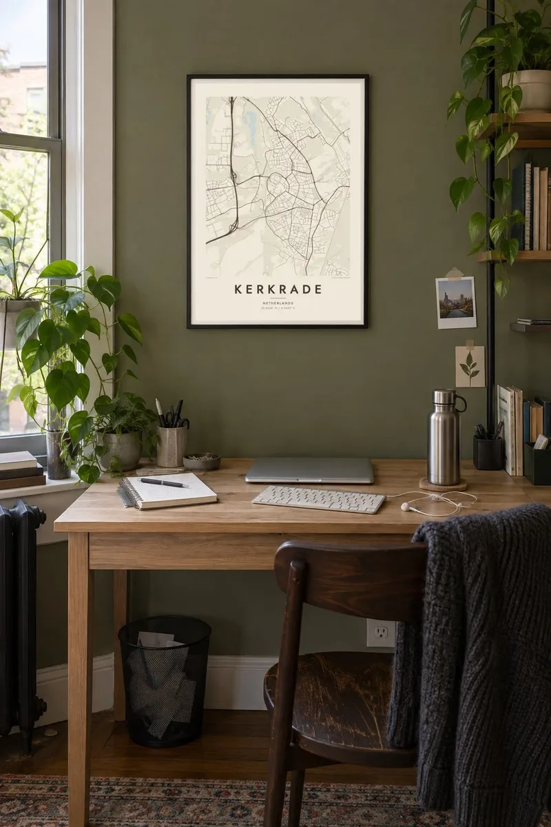

The map
Kerkrade is in the far southeast of Dutch Limburg, and its eastern edge is the border with Germany. The town merges directly into the German town of Herzogenrath, and for some distance the border runs along a single street, the Nieuwstraat on the Dutch side and the Neustraße on the German side. From above it is hard to tell where one country ends and the other begins.
The area was a coal mining region until the mines closed in the 1970s, and the landscape still shows former mine sites turned into parks and new neighbourhoods. On a hill above the town is Rolduc, a large former abbey. Kerkrade also hosts the World Music Contest, an international competition for wind orchestras.
A Kerkrade map poster captures a town without a clear border on the ground. Streets run straight across into Germany, the hilly terrain bends the roads into curves, and green former mining areas open up between the districts. In monochrome it reads as one continuous urban area, with the frontier quietly running through it.
The Nieuwstraat and Neustraße form one street split lengthwise by the national border, a rare feature that shows how closely the two towns are joined.
The large complex of the former abbey stands on high ground, its courtyards and walls making a distinctive shape among the surrounding streets.
Old mine sites have been turned into parks and green spaces, and their open shapes break up the built-up area in several places.
Make it yours
Add a date, a name or a line of your own, switch style, size or orientation.
The free preview is low-resolution with a watermark. Prints and HD files are rendered at 300 DPI, up to 7,200 × 10,800 px, without a watermark.
Why Kerkrade
For people from Kerkrade and Herzogenrath, this map shows a place that has always been cross-border in daily life. It also appeals to anyone interested in how frontiers look on the ground.
Personalise the title, subtitle and coordinates, for example naming both towns, and choose Classic black & white, Noir, Paper, Blueprint or Sand. Download the HD files for $9 or order a printed poster, with an optional wooden frame.
Order the Kerkrade poster| Print size | Resolution | Files |
|---|---|---|
| 30 × 40 cm11.8 × 15.7″ | 3,543 × 4,724 px | PNG · PDF |
| 29.7 × 42 cm (A3)11.7 × 16.5″ | 3,508 × 4,961 px | PNG · PDF |
| 42 × 59.4 cm (A2)16.5 × 23.4″ | 4,961 × 7,016 px | PNG · PDF |
| 45.7 × 61 cm18 × 24″ | 5,400 × 7,200 px | PNG · PDF |
| 50 × 70 cm19.7 × 27.6″ | 5,906 × 8,268 px | PNG · PDF |
| 61 × 91.4 cm24 × 36″ | 7,200 × 10,800 px | PNG · PDF |
For comparison, the free preview is 900 px wide, watermarked and meant for screens. The HD files have up to 8× the resolution in each direction and print cleanly at full poster size.
Pick a style at the top of the page, then choose Printed Poster — a size and, if you like, a frame — or Digital HD Files. Checkout takes one step, and your order page updates as soon as the payment goes through.
It is printed on premium 200 gsm matte paper in one of six sizes, from 30 × 40 cm to 24 × 36″. Printed posters start at $39, shipping included.
Yes. Choose a solid wood frame in black, white, natural oak or dark wood. It comes with shatterproof glazing and is ready to hang. Framed posters start at $99, shipping included.
Shipping is free to 60+ countries. Each poster is printed by the nearest of our print partners in 30+ countries and usually arrives in 3–7 business days. You can follow the status and tracking under My Orders. A few countries take 2–5 weeks, and where we don't ship yet, the site tells you before you pay.
Send us a photo within 14 days of delivery and we will reprint it for free or refund you.
Yes. In the editor on this page, change the title, the subtitle and the coordinates line to anything you like, and pick a style and size. Printed, framed and digital orders all use exactly your design.
For $9 you get 300 DPI PNG and print-ready PDF files in all six sizes, without a watermark, to print anywhere. Not sure yet? Download a free watermarked preview first.
Nearby
