Camp-town grid
The historic centre follows the plan of the 1491 siege camp, a tight rectangle crossed by two principal streets. In black and white its regularity stands out clearly against the looser growth around it.
Minimalist map poster · Spain
37.1886° N / 3.7189° W
A rectangular camp-town grid laid across the flat Vega de Granada, its two main axes crossing at a central square.

One city, five moods
Tap a style to see it on the wall. Every style costs the same — printed, framed or as HD files.
 Actual pixels · 24 × 36″ print file
Print-sharp
This is a 100% crop of the real print file. Every poster — printed, framed or downloaded — is rendered on our servers at 300 DPI, up to 7,200 × 10,800 pixels, so even the smallest lanes stay crisp on a 24 × 36″ print.
On the wall
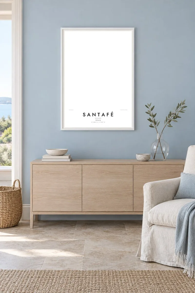


The map
Santafé began as a military camp. The Catholic Monarchs founded it in 1491 while besieging Granada, and the town still follows the logic of that origin: a compact rectangle of streets divided by two straight axes that meet at a central square. From above, the old core reads almost like a diagram, sharp-edged against the orchards and fields around it.
The setting is the Vega de Granada, a broad fertile plain watered by the Genil and its irrigation channels. On a map this appears as a patchwork of small field parcels and farm tracks spreading in every direction, with Granada and the first slopes of the Sierra Nevada lying to the east. Newer housing has grown outward from the grid, softening its edges without erasing them.
History gives the town a second claim to attention. In April 1492 the Capitulations of Santa Fe were signed here, the agreement between the Crown and Christopher Columbus that set the terms of his first voyage. A Santafé map poster captures that unusual combination: a planned grid, the open geometry of the Vega, and a place name tied to one of the most consequential documents of its century.
The historic centre follows the plan of the 1491 siege camp, a tight rectangle crossed by two principal streets. In black and white its regularity stands out clearly against the looser growth around it.
Around the town the fertile plain breaks into small irrigated plots and farm roads. Rendered as fine lines, this mosaic surrounds the built area like a textured border.
Where the two axes meet, the main square forms the natural centre of the composition, the point from which the whole street plan was originally measured out.
Make it yours
Add a date, a name or a line of your own, switch style, size or orientation.
The free preview is low-resolution with a watermark. Prints and HD files are rendered at 300 DPI, up to 7,200 × 10,800 px, without a watermark.
Why Santafé
Some people hang Santafé because they grew up in it; others because of what happened here in 1492. Either way the map works as a quiet object: a clear geometric plan that holds its own on a wall without needing colour or explanation.
You can set your own title and subtitle, add a date that matters to you, and adjust the coordinates line. Choose from five styles, Classic black & white, Noir, Paper, Blueprint or Sand, then download the HD files for $9 or order a printed poster.
Order the Santafé poster| Print size | Resolution | Files |
|---|---|---|
| 30 × 40 cm11.8 × 15.7″ | 3,543 × 4,724 px | PNG · PDF |
| 29.7 × 42 cm (A3)11.7 × 16.5″ | 3,508 × 4,961 px | PNG · PDF |
| 42 × 59.4 cm (A2)16.5 × 23.4″ | 4,961 × 7,016 px | PNG · PDF |
| 45.7 × 61 cm18 × 24″ | 5,400 × 7,200 px | PNG · PDF |
| 50 × 70 cm19.7 × 27.6″ | 5,906 × 8,268 px | PNG · PDF |
| 61 × 91.4 cm24 × 36″ | 7,200 × 10,800 px | PNG · PDF |
For comparison, the free preview is 900 px wide, watermarked and meant for screens. The HD files have up to 8× the resolution in each direction and print cleanly at full poster size.
Pick a style at the top of the page, then choose Printed Poster — a size and, if you like, a frame — or Digital HD Files. Checkout takes one step, and your order page updates as soon as the payment goes through.
It is printed on premium 200 gsm matte paper in one of six sizes, from 30 × 40 cm to 24 × 36″. Printed posters start at $39, shipping included.
Yes. Choose a solid wood frame in black, white, natural oak or dark wood. It comes with shatterproof glazing and is ready to hang. Framed posters start at $99, shipping included.
Shipping is free to 60+ countries. Each poster is printed by the nearest of our print partners in 30+ countries and usually arrives in 3–7 business days. You can follow the status and tracking under My Orders. A few countries take 2–5 weeks, and where we don't ship yet, the site tells you before you pay.
Send us a photo within 14 days of delivery and we will reprint it for free or refund you.
Yes. In the editor on this page, change the title, the subtitle and the coordinates line to anything you like, and pick a style and size. Printed, framed and digital orders all use exactly your design.
For $9 you get 300 DPI PNG and print-ready PDF files in all six sizes, without a watermark, to print anywhere. Not sure yet? Download a free watermarked preview first.
Nearby
